Bass Harbor in Hancock County, Maine — The American Northeast (New England)
Mariners Beware!
Acadia National Park
| — | National Park Service, U.S. Department of the Interior | — |
Photographed by Bill Coughlin, July 12, 2017
1. Mariners Beware! Marker
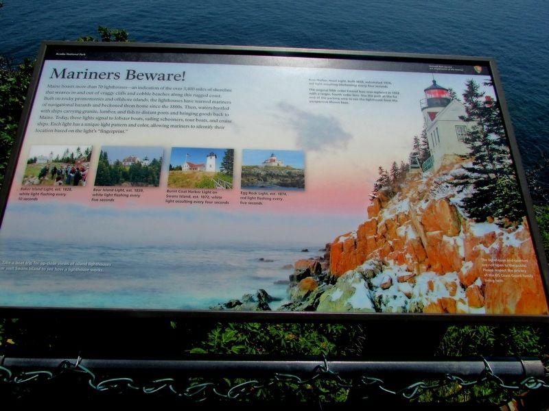
Maine boasts more than 70 lighthouses – an indication of the over 3,400 miles of shoreline that weaves in and out of craggy cliffs and cobble beaches along this rugged coast. Built on rocky promontories and offshore islands, the lighthouses have warned mariners of navigational hazards and beckoned them home since the 1800s. Then, waters bustled with ships carrying granite, lumber, and fish to distant ports and bringing goods back to Maine. Today, these lights signal to lobster boats, sailing schooners, tour boats, and cruise ships. Each light has a unique light pattern and color, allowing mariners to identify their locations based on the light’s “fingerprint.”
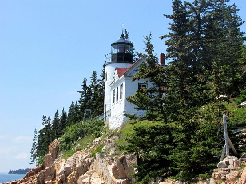
Bass Harbor Head Light, built 1858, automated 1974, red light occulting (darkening) every four seconds.
The original fifth order Fresnel lens was replaced in 1902 with a larger, fourth order lens. Use the path at the far end of the parking area to see the lighthouse from the perspective shown here.
Erected by National Park Service, U.S. Department of the Interior.
Topics and series. This historical marker is listed in these topic lists:
this page online
Location. 44° 13.32′ N, 68° 20.248′ W. Marker is in Bass Harbor, Maine, in Hancock County. It can be reached from Lighthouse Road. Marker is in Acadia National Park, near the Bass Harbor Lighthouse. Touch for map. Marker is in this post office area: Bass Harbor ME 04653, United States of America. Touch for directions.

Regionally, this marker is on Mount Desert Island and in Downeast Maine. It is also in the American Northeast, in New England, and on the Eastern Seaboard. Globally, it is in the North Atlantic Region, North America, the Great North Woods, the Western Hemisphere, the Western World, and the Anglosphere. Historically, it finds itself in what was once the Viceroyalty of New France and also Acadia.
Other nearby markers. At least 8 other markers are within 7 miles of this marker, measured as the crow flies: Bass Harbor Head Light Station (here, next to this marker); Bass Harbor Head Light (a few steps from this marker); A Steadfast Light (a few steps from this marker);
Photographed by Bill Coughlin, July 12, 2017
2. Mariners Beware! Marker
Another marker is no longer nearby. Carriage Roads - Building the Roads (was approx. 6.8 miles away but has been confirmed missing).
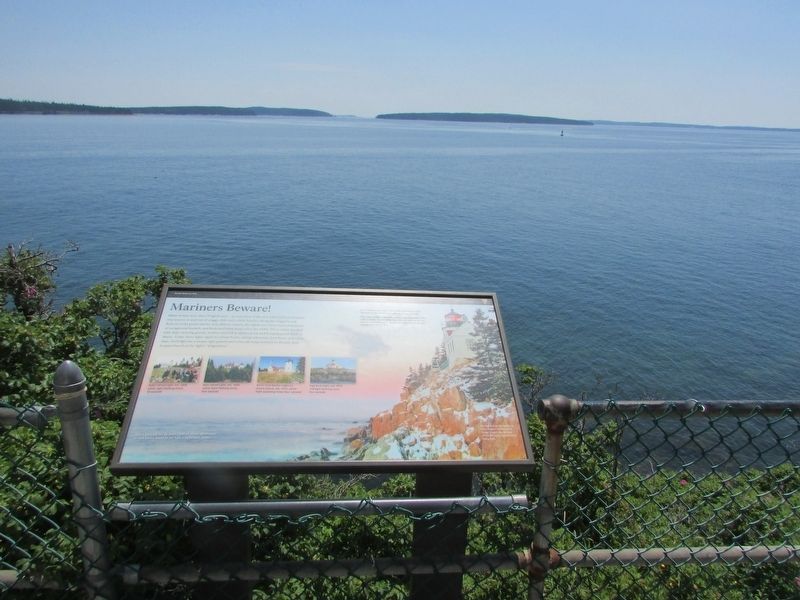
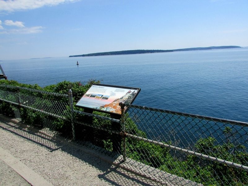
More about this marker. The Background of the marker features a photograph of the Bass Harbor Lighthouse seen from the water. It has a caption of “Take a boat trip for up-close views of island lighthouses or visit Swans Island to see how a lighthouse works.”
Photos of nearby lighthouses appear near the bottom of the marker. These have captions of “Baker Island Light, est. 1828, white light flashing every 10 seconds.”; “Bear Island Light, est. 1839, white light flashing every five seconds.”; “Burnt Coat Harbor Light on Swans Island, est. 1872, white light occulting every four seconds.”; and “Egg
Photographed by Bill Coughlin, July 12, 2017
3. Marker in Acadia National Park
Photographed by Bill Coughlin, July 12, 2017
4. Bass Harbor Lighthouse
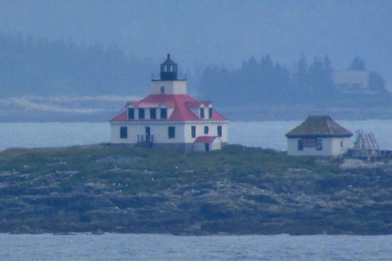
Photographed by Bill Coughlin, July 11, 2017
5. Egg Rock Lighthouse
Credits. This page was last revised on September 21, 2020. It was originally submitted on July 16, 2017, by Bill Coughlin of Woodland Park, New Jersey. This page has been viewed 423 times since then and 25 times this year. Photos: 1, 2, 3, 4, 5. submitted on July 16, 2017, by Bill Coughlin of Woodland Park, New Jersey.
