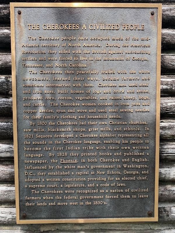
The Cherokee A Civilized People
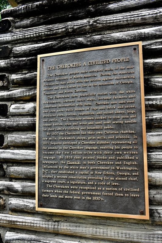
By 1800 the Cherokee had their own Christian churches, saw mills, blacksmith shops, grist mills, and schools. In 1821 Sequoyah developed a Cherokee alphabet representing all the sound in the Cherokee language, enabling his people to become the first Indian tribe with their own written language. By 1818 they printed books and published a newspaper, the Phoenix, in both Cherokee and English.
Influence by the white man's government in Washington, D. C., they established a capital in New Echota, Georgia and adopted a written constitution providing for an elected chief, a Supreme Court, a legislature, and a code of laws.
the Cherokees were recognized as a nation of civilized farmers when the federal government forced them to leave their lands and move west in the 1830's.
Topics and series. This historical marker is listed in these topic lists: Indigenous Peoples and Communities • Settlements & Settlers • War, US Revolutionary. In addition, it is included in the Trail of Tears series list. A significant historical year for this entry is 1800.
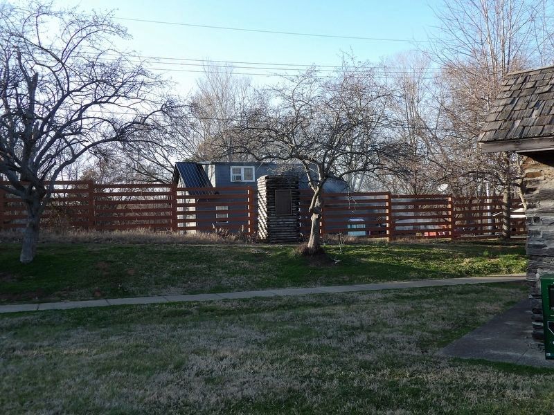
Location. 36° 51.19′ N, 87° 28.202′ W. Marker is in Hopkinsville, Kentucky,
this page online

Regionally, this marker is in the American Midwest, in the South, and specifically in the Upper South. Globally, it is in North America, the Western Hemisphere, the Western World, and the Anglosphere. Historically, it finds itself in what was once the territory of the Mississippian Culture and also the Antebellum South.
Other nearby markers. At least 8 other markers are within one mile of this marker, measured as the crow flies: A Winter Camp (within shouting distance of this marker); Mourning at Camp (within shouting distance of this marker); Whitepath and Fly Smith (within shouting distance of this marker); Cherokee "Trail of Tears" (within shouting distance of this marker); Trail of Tears Indian Camping Grounds (approx. 0.3 miles away); The Trail of Tears (approx. 0.3 miles away);
Credits. This page was last revised on May 25, 2024. It was originally submitted on July 17, 2017, by Sandra Hughes Tidwell of Killen, Alabama, USA. This page has been viewed 813 times since then and 26 times this year. Photos: 1. submitted on July 17, 2017, by Sandra Hughes Tidwell of Killen, Alabama, USA. 2. submitted on February 25, 2024, by Duane and Tracy Marsteller of Murfreesboro, Tennessee. 3. submitted on May 20, 2024, by Darren Jefferson Clay of Duluth, Georgia. • Bill Pfingsten was the editor who published this page.
