Near Grand Gulf in Claiborne County, Mississippi — The American South (East South Central)
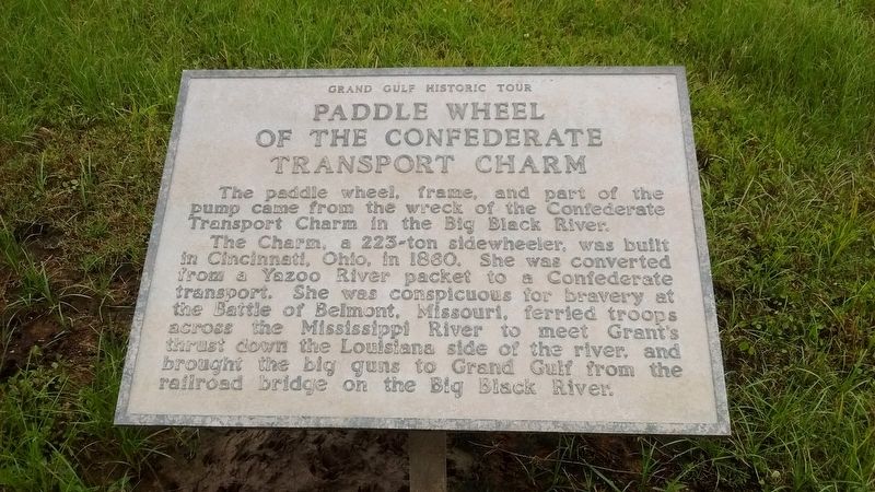
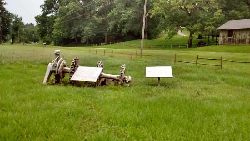
Paddle Wheel of the Confederate Transport Charm
Grand Gulf Historic Tour
The Charm, a 223-ton sidewheeler, was built in Cincinnati, Ohio in 1860. She was converted from a Yazoo River packet to a Confederate transport. She was conspicuous for bravery at the Battle of Belmont, Missouri, ferried troops across the Mississippi River to meet Grant's thrust down the Louisiana side of the river, and brought the big guns to Grand Gulf from the railroad bridge on the Big Black River.
Topics. This historical marker is listed in this topic list: War, US Civil. A significant historical year for this entry is 1860.
Location. 32° 1.817′ N, 91° 3.251′ W. Marker is near Grand Gulf, Mississippi, in Claiborne County. Marker is on Grand Gulf Road, 0.8 miles north of Frazier Road, on the left when traveling north. Marker is located across from Grand Gulf Military State Park. Touch for map. Marker is in this post office area: Port Gibson MS 39150, United States of America. Touch for directions.
Other nearby markers. At least 8 other markers are within walking distance of this marker. Bombardment of Confederate Fortifications by Federal Gunboats (here, next to this marker); Grand Gulf Military Park (about 300 feet away, measured in a direct line); The Buildup for War (about 300 feet away); War Comes to Grand Gulf (about 300 feet away); Supporting Battery (about 300 feet away); a different marker also named Supporting Battery (about 400 feet away); Scotia (about 500 feet away); Water Wheel (about 500 feet away). Touch for a list and map of all markers in Grand Gulf.
Credits. This page was last revised on July 18, 2017. It was originally submitted on July 17, 2017, by Tom Bosse of Jefferson City, Tennessee. This page has been viewed 216 times since then and 6 times this year. Photos: 1, 2, 3. submitted on July 17, 2017, by Tom Bosse of Jefferson City, Tennessee. • Bernard Fisher was the editor who published this page.


