Williamsburg, Virginia — The American South (Mid-Atlantic)
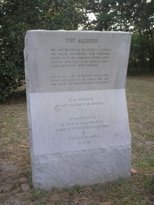
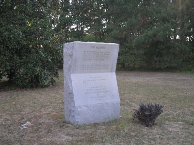
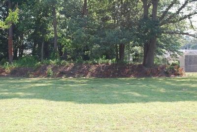
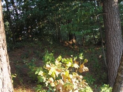
Fort Magruder
Here on May 5, 1862. The Battle of Williamsburg delayed the advance of the Federal Army and made possible the continued defense of Richmond.
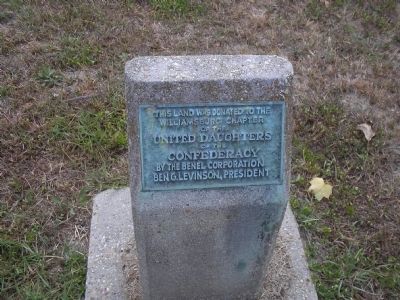
This site preserved by
The United Daughters of the Confederacy
This marker erected by
the citizens of Williamsburg on the
occasion of the one-hundredth anniversary
of
The Battle of Williamsburg
May 5, 1962
Erected 1962 by Citizens of Williamsburg.
Topics and series. This historical marker is listed in these topic lists: Notable Places • War, US Civil. In addition, it is included in the United Daughters of the Confederacy series list. A significant historical month for this entry is May 1850.
Location. 37° 15.838′ N, 76° 39.978′ W. Marker is in Williamsburg, Virginia. Marker is on Penniman Road, on the left when traveling north. Touch for map. Marker is in this post office area: Williamsburg VA 23185, United States of America. Touch for directions.
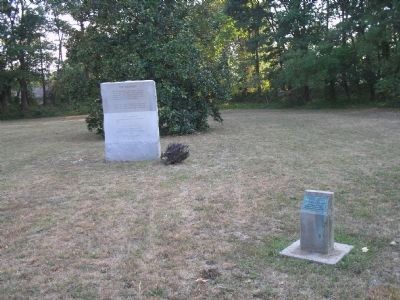
Other nearby markers. At least 8 other markers are within walking distance of this marker. Confederate Soldiers and Sailors Monument (a few steps from this marker); a different marker also named Fort Magruder (a few steps from this marker); Vineyard Tract (about 500 feet away, measured in a direct line); Magruder’s Defenses (approx. half a mile away); Battle of Williamsburg (approx. half a mile away); Quarterpath Road (approx. 0.7 miles away); Peninsula Campaign (approx. 0.7 miles away); a different marker also named The Battle of Williamsburg (approx. 0.7 miles away). Touch for a list and map of all markers in Williamsburg.
Also see . . .
1. Williamsburg, Fort Magruder, Civil War Virginia, May 5, 1862. American Civil War website. (Submitted on August 21, 2008, by Bill Coughlin of Woodland Park, New Jersey.)
2. Battle of Williamsburg, 5 May 1862. (Submitted on August 21, 2008, by Bill Coughlin of Woodland Park, New Jersey.)
3. The Peninsula Campaign of 1862. (Submitted on August 21, 2008, by Bill Coughlin of Woodland Park, New Jersey.)
Credits. This page was last revised on February 1, 2021. It was originally submitted on August 21, 2008, by Bill Coughlin of Woodland Park, New Jersey. This page has been viewed 2,065 times since then and 69 times this year. Photos: 1, 2, 3. submitted on August 21, 2008, by Bill Coughlin of Woodland Park, New Jersey. 4. submitted on August 8, 2015, by Brandon Fletcher of Chattanooga, Tennessee. 5. submitted on August 21, 2008, by Bill Coughlin of Woodland Park, New Jersey. 6. submitted on August 8, 2015, by Brandon Fletcher of Chattanooga, Tennessee. 7. submitted on August 21, 2008, by Bill Coughlin of Woodland Park, New Jersey.
