Near Grand Gulf in Claiborne County, Mississippi — The American South (East South Central)
Fort Cobun
Photographed by Tom Bosse, July 2, 2017
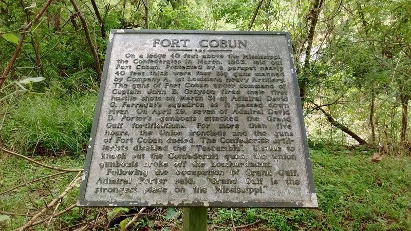
1. Fort Cobun Marker
Following the occupation of Grand Gulf, Admiral Porter said, “Grand Gulf is the strongest place on the Mississippi.”
Topics. This historical marker is listed in these topic lists: Forts and Castles • War, US Civil • Waterways & Vessels. A significant historical month for this entry is March 1863.
Location. 32° 2.562′ N, 91° 3.107′ W. Marker is near Grand Gulf, Mississippi, in Claiborne County. It can
this page online

Regionally, this marker is in Southwest Mississippi, in Natchez Trace Corridor, and in Greater Jackson. It is also in the American South, specifically in the Deep South, and in the Great River Road Region. Globally, it is in North America, a Gulf of Mexico state, the Western Hemisphere, the Western World, and the Anglosphere. Historically, it finds itself in what was once New Spain, the territory of the Mississippian Culture, one of the Confederate States of America, and the Antebellum South.
Other nearby markers. At least 8 other markers are within walking distance of this marker: Whirlpool (a few steps from this marker); Naval Battle During Grant’s Campaign (within shouting distance of this marker); Site of Hot Shot Furnace (within shouting distance of this marker); Point of Rock (within shouting distance of this
Photographed by Tom Bosse, July 2, 2017
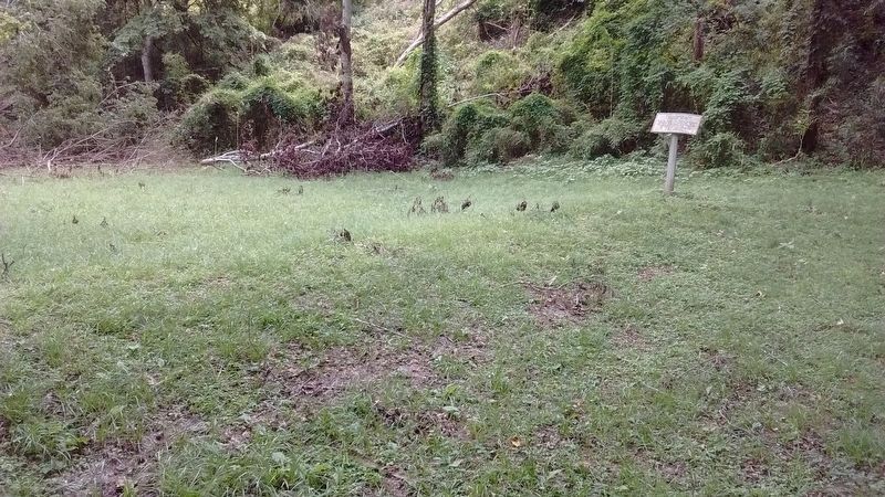
2. Fort Cobun - Confederate Rifle Pits
Also see . . . Fort Cobun at Grand Gulf Military Monument. (Submitted on July 18, 2017, by Tom Bosse of Jefferson City, Tennessee.)
Photographed by Tom Bosse, July 2, 2017
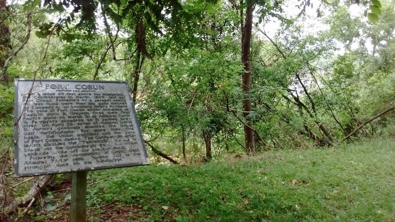
3. Fort Cobun Marker
Photographed by Tom Bosse
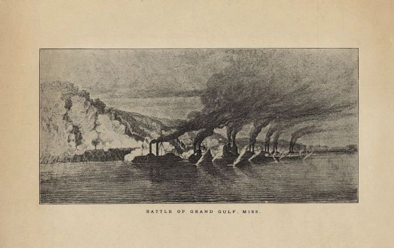
4. The Battle of Grand Gulf
Photographed by Tom Bosse, July 2, 2017
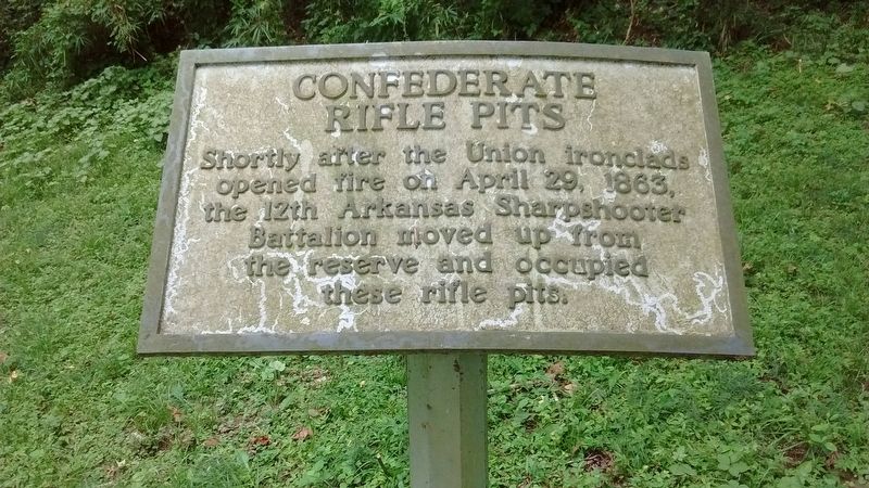
5. Fort Cobun - Confederate Rifle Pits
Shortly after the Union ironclads opened fire on April 29, 1863, the 12th Arkansas Sharpshooter Battalion moved up from the reserve and occupied these rifle pits.
Photographed by Tom Bosse
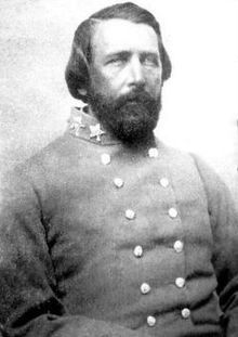
6. Captain John B. Grayson
Credits. This page was last revised on July 20, 2017. It was originally submitted on July 18, 2017, by Tom Bosse of Jefferson City, Tennessee. This page has been viewed 1,188 times since then and 84 times this year. Photos: 1, 2, 3, 4, 5, 6. submitted on July 18, 2017, by Tom Bosse of Jefferson City, Tennessee. • Bernard Fisher was the editor who published this page.
