Rossville in Walker County, Georgia — The American South (South Atlantic)
Williamson's Brigade
Osterhaus' Division
— Blair's Corps —
Osterhaus' Division - Blair's Corps
Colonel James A. Williamson
November 25, 1863
4th Iowa - Lieutenant Colonel George Burton
9th Iowa - Colonel David Carskaddon
25th Iowa - Colonel George A. Stone
26th Iowa - Colonel Milo Smith
30th Iowa - Lieutenant Colonel Aurelius Roberts
31st Iowa - Lieutenant Colonel J. W. Jenkins
This Brigade reached Rossville from Lookout Mountain about 3 p.m. and moved through the gap with Wood's Brigade of the same Division on its right, its left passing over the point of Missionary Ridge to the north of the gap, meeting no opposition, that portion of Clayton's Brigade which held the gap having been forced back by Wood's Brigade. The Brigade then descended the eastern slope of the ridge, and at the cross roads at its base turned north. After marching about 1000 yards the division was formed in line in echelon, Williamson's Brigade on the left and Wood's on the right. Charging obliquely towards the summit the left became sharply engaged but in conjunction with the advance of Cruft's Division along the crest of the ridge from Rossville Gap and Geary's Division on the western slope the Confederate Left soon gave way. The Brigade continued to the summit capturing many prisoners and at nightfall bivouacked.
Erected 1890 by the Chickamauga and Chattanooga National Military Park Commission. (Marker Number MT-137.)
Topics. This historical marker is listed in this topic list: War, US Civil. A significant historical date for this entry is November 25, 1863.
Location. Marker is missing. It was located near 34° 59.042′ N, 85° 16.754′ W. Marker was in Rossville, Georgia, in Walker County. Marker was on West Crest Road north of Chickamauga Avenue (U.S. 27), on the right when traveling north. Touch for map. Marker was in this post office area: Rossville GA 30741, United States of America. Touch for directions.
Other nearby markers. At least 8 other markers are within walking distance of this location. Woods' Brigade (a few steps from this marker); 27th U.S. Missouri Infantry (a few steps from this marker); Rossville Gap (within shouting distance of this marker); Iowa State Monument (within shouting distance of this marker); Osterhaus' Division (within shouting distance of this marker); Cruft's Division (about 600 feet away, measured in a direct line); 24th Ohio Infantry (approx. 0.2 miles away in Tennessee); a different marker also named Cruft's Division (approx. 0.2 miles away in Tennessee). Touch for a list and map of all markers in Rossville.
More about this marker. This tablet was originally situated very near the Iowa Reservation with

Photographed By Dale K. Benington, July 13, 2017
2. Williamson's Brigade Marker
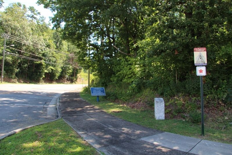
View looking east, and uphill, along West Crest Road. According to the NMP historian, Jim Ogden, the most probable location for this missing tablet would be just beyond the 27th Missouri marker and the Wood's Brigade tablet, that are seen in this picture.
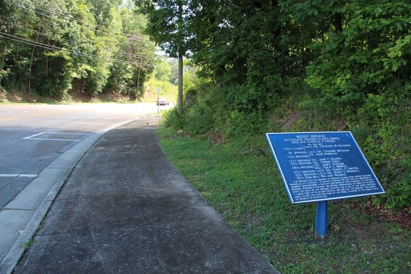
It was determined that this missing tablet was situated on the east side of the roadway, a short distance beyond both the marker for the 27th Missouri Infantry and the tablet for Wood's Brigade.

Photographed By Dale K. Benington, July 13, 2017
4. Williamson's Brigade Marker
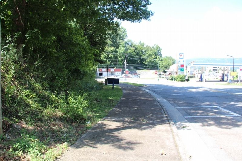
View looking southwest along West Crest Road, towards the intersection with US 27. The missing tablet would most probably be situated in the shadows, behind the backside of the Wood's Brigade tablet, in the area of cut grass.

Photographed By Dale K. Benington, July 13, 2017
5. Williamson's Brigade Marker
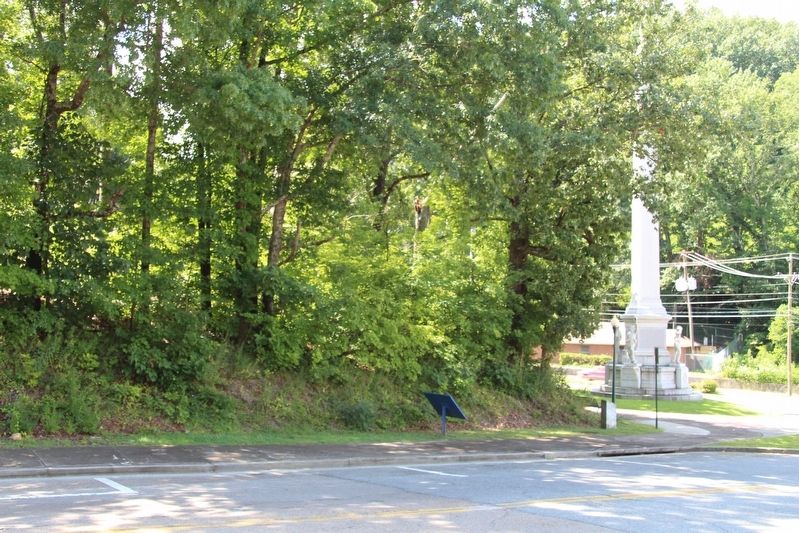
View from across the street, looking southeast towards the visible Iowa Memorial Monument, with the probable location of the missing tablet being behind the Wood's Brigade tablet, alongside of the roadway, in the area of cut grass.
Credits. This page was last revised on July 12, 2019. It was originally submitted on July 18, 2017, by Dale K. Benington of Toledo, Ohio. This page has been viewed 214 times since then and 3 times this year. Photos: 1. submitted on July 18, 2017, by Dale K. Benington of Toledo, Ohio. 2, 3, 4, 5. submitted on July 19, 2017, by Dale K. Benington of Toledo, Ohio. 6. submitted on July 12, 2019, by Dale K. Benington of Toledo, Ohio.


