Natural Bridge in Rockbridge County, Virginia — The American South (Mid-Atlantic)
Natural Bridge Patent
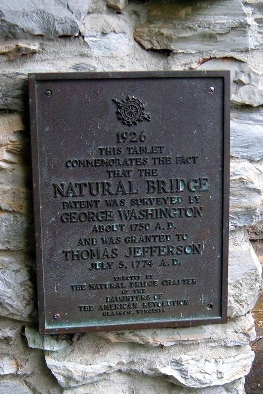
Photographed by Larry Gertner, May 2007
1. Natural Bridge patent Marker
This tablet
commemorates the fact
that the
Natural Bridge
patent was surveyed by
George Washington
about 1750 A.D.
and was granted to
Thomas Jefferson
July 5, 1774 A.D.
Erected by
The Natural Bridge Chapter
of the
Daughters of
the American Revolution
Glasgow, Virginia
Erected 1926 by The Natural Bridge Chapter of the Daughters of the American Revolution.
Topics and series. This historical marker is listed in these topic lists: Bridges & Viaducts • Colonial Era • Exploration. In addition, it is included in the Daughters of the American Revolution (DAR), and the Former U.S. Presidents: #03 Thomas Jefferson series lists. A significant historical date for this entry is July 5, 1774.
Location. 37° 37.667′ N, 79° 32.6′ W. Marker is in Natural Bridge, Virginia, in Rockbridge County. It can be reached from the intersection of South Lee Highway (U.S. 11) and Wert Faulkner Highway (Virginia Route 130), on the left when traveling south. Located along the Cedar Creek Trail. Touch for map. Marker is at or near this postal address: 6477 S Lee Hwy, Natural Bridge VA 24578, United States of America. Touch for directions.

Regionally, this marker is in the Mountain Region. It is also in the American South, specifically in the Upper South, in Appalachia, and specifically in Southern Appalachia. Globally, it is in North America, the Western Hemisphere, the Western World, and the Anglosphere. Historically, it finds itself in what was once the territory of the Mississippian Culture, one of the original Thirteen Colonies, one of the Confederate States of America, and the Antebellum South.
Other nearby markers. At least 8 other markers are within walking distance of this marker: “Vires-Acquirit-Eundo” Ancient Arbor Vitae (here, next to this marker); The Time-Traveling Tree of Life (within
this page online
Another marker is no longer nearby. Natural Bridge (was about 300 feet away, measured in a direct line but has been permanently removed).
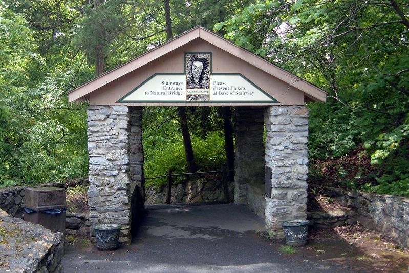
Photographed by Larry Gertner, May 2007
2. Natural Bridge entrance
The marker is visible at the right entrance pillar.

Photographed by Bradley Owen, August 12, 2024
3. Natural Bridge Patent Marker
The marker is located inside the right pillar.
Credits. This page was last revised on August 12, 2024. It was originally submitted on July 19, 2017, by Larry Gertner of New York, New York. This page has been viewed 1,902 times since then and 60 times this year. Photos: 1, 2. submitted on July 19, 2017, by Larry Gertner of New York, New York. 3. submitted on August 12, 2024, by Bradley Owen of Morgantown, West Virginia. • Bernard Fisher was the editor who published this page.
