Natural Bridge in Rockbridge County, Virginia — The American South (Mid-Atlantic)
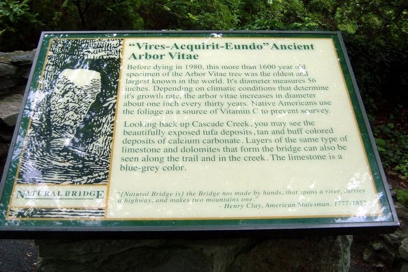
“Vires-Acquirit-Eundo” Ancient Arbor Vitae
Photographed by Larry Gertner, May 2007
1. “Vires-Acquirit-Eundo” Marker
Looking back up Cascade Creek, you may see the beautifully exposed tufa deposits, tan and buff colored deposits of calcium carbonate. Layers of the same type of limestone and dolomites that form the bridge can also be seen along the trail and in the creek. The limestone is a blue-grey color.
“{Natural Bridge is} the Bridge not made by hands, that spans a river, carries a highway, and makes the mountains one.”
Henry Clay, American statesman, 1777-1852
Topics. This historical marker is listed in these topic lists: Horticulture & Forestry • Indigenous Peoples and Communities.
Location. 37° 37.667′ N, 79° 32.6′ W. Marker is in Natural Bridge, Virginia, in Rockbridge County.
this page online

Regionally, this marker is in the Mountain Region. It is also in the American South, specifically in the Upper South, in Appalachia, and specifically in Southern Appalachia. Globally, it is in North America, the Western Hemisphere, the Western World, and the Anglosphere. Historically, it finds itself in what was once the territory of the Mississippian Culture, one of the original Thirteen Colonies, one of the Confederate States of America, and the Antebellum South.
Other nearby markers. At least 8 other markers are within walking distance of this marker: Natural Bridge Patent (here, next to this marker); The Time-Traveling Tree of Life (within shouting distance of this marker); A Miracle in Stone ... Old as the Dawn (within shouting distance of this marker); How Did It Happen?
Photographed by Larry Gertner, May 2007
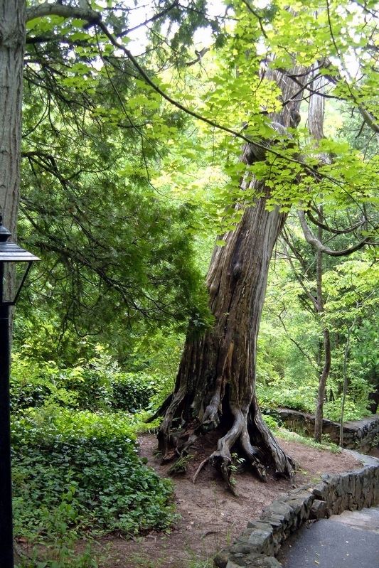
2. The Arbor Vitae
Another marker is no longer nearby. Natural Bridge (was about 300 feet away, measured in a direct line but has been permanently removed).
Credits. This page was last revised on July 20, 2017. It was originally submitted on July 19, 2017, by Larry Gertner of New York, New York. This page has been viewed 2,594 times since then and 134 times this year. Photos: 1, 2. submitted on July 19, 2017, by Larry Gertner of New York, New York. • Bernard Fisher was the editor who published this page.
