Natural Bridge in Rockbridge County, Virginia — The American South (Mid-Atlantic)
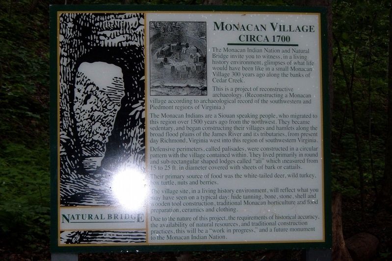
Monacan Village
circa 1700
Photographed by Larry Gertner, May 2007
1. Monacan Village Marker
This is a project of reconstructive archelogy. (Reconstructing a Monacan village according to archeological record of the southwestern and Piedmont regions of Virginia.)
The Monacan Indians are a Soiuan speaking people, who migrated to this region over 1500 years ago from the northwest. They became sedentary, and began constructing their villages and hamlets along the broad flood plains of the James River and its tributaries, from present day Richmond, Virginia west into this region of southwestern Virginia.
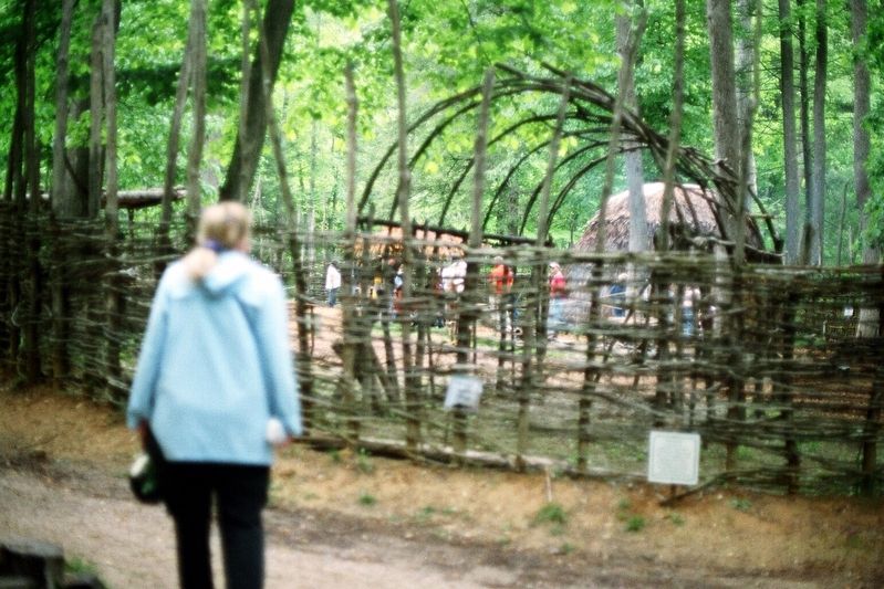
Defensive perimeters, called palisades, were constructed in a circular pattern with the village contained within. They lived primarily in round and sub-rectangular shaped loges called “ati” which measured from 15 to 25 ft. in diameter covered with sheets of bark or cattails.
Their primary source of food was the white-tailed deer, wild turkey, box turtle, nuts, and berries.
The village
this page online
Due to the nature of this project, the requirement of historical accuracy, the availability of natural resources, and tradition construction practices, this will be a “work in progress”, and a future monument to the Monacan Indian Nation.
Topics. This historical marker is listed in this topic list: Indigenous Peoples and Communities. A significant historical year for this entry is 1700.
Location. Marker has been reported permanently removed. It was located near 37° 37.85′ N, 79° 32.85′ W. Marker was in Natural Bridge, Virginia, in Rockbridge County. It could be reached from the intersection of South Lee Highway (U.S. 11) and Wert Faulkner Highway (Virginia Route 130), on the left when traveling south. The marker is on the Cedar Creek Trail. Touch for map. Marker was at or near this postal address: 6477 S Lee Hwy, Natural Bridge VA 24578, United States of America.
We have been informed that this marker
Photographed by Larry Gertner, May 2007
2. The Monacan Village
Regionally, this marker was in the Mountain Region. It was also in the American South, specifically in the Upper South, in Appalachia, and specifically in Southern Appalachia. Globally, it was in North America, the Western Hemisphere, the Western World, and the Anglosphere. Historically, it found itself in what was once the territory of the Mississippian Culture, one of the original Thirteen Colonies, one of the Confederate States of America, and the Antebellum South.

Other nearby markers. At least 8 other markers are within walking distance of this location: A Cave that Armed American Soldiers (about 400 feet away, measured in a direct line); George Washington (approx. 0.2 miles away); Once Enslaved, He Became Natural Bridge's First Caretaker (approx. 0.2 miles away); “The Most Sublime of Nature’s Works” (approx. ¼ mile away); Natural Bridge (approx. ¼ mile away); Lost and Found (approx. ¼ mile away); a different marker also named Natural Bridge (approx. 0.3 miles away); How Did It Happen? (approx. 0.3 miles away). Touch for a list and map
Photographed by Larry Gertner, May 2007
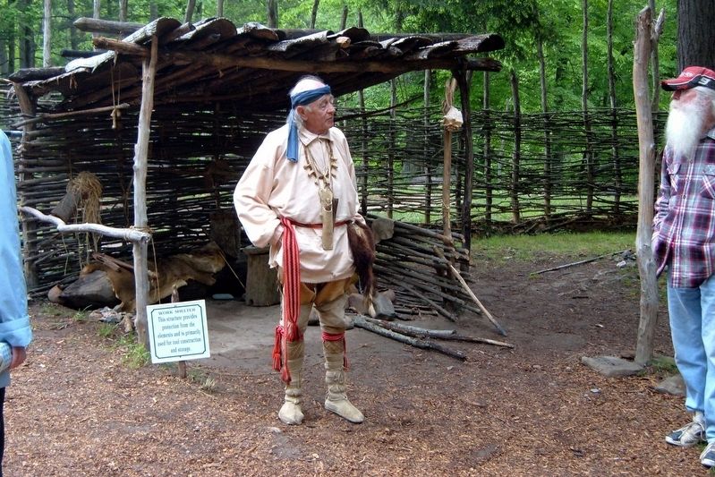
3. A Monacan elder
Other markers no longer nearby. Saltpetre Cave (was about 500 feet away but has been permanently removed); Lost River (was about 700 feet away but has been permanently removed); a different marker also named Natural Bridge (was approx. ¼ mile away but has been permanently removed).
Also see . . . Monacan Indian Nation. Wikipedia Entry. (Submitted on April 15, 2020, by Larry Gertner of New York, New York.)
Credits. This page was last revised on August 12, 2024. It was originally submitted on July 19, 2017, by Larry Gertner of New York, New York. This page has been viewed 1,770 times since then and 97 times this year. Photos: 1, 2, 3. submitted on July 19, 2017, by Larry Gertner of New York, New York. • Bernard Fisher was the editor who published this page.
