Near Thatcher in Franklin County, Idaho — The American West (Mountains)
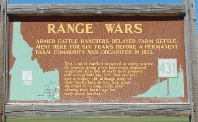
Range Wars
Photographed by Barry Swackhamer, June 21, 2017
1. Range Wars Marker
This kind of conflict occurred in widely scattered western areas when farm crops displaced rangeland. Families of early farm pioneers still occupy holdings here that are well over a century old, although many of them finally have shifted from planting crops to raising cattle after winning their battle against early stock herders.
Erected by Idaho Department of Transportation. (Marker Number 431.)
Topics and series. This historical marker is listed in this topic list: Agriculture. In addition, it is included in the Idaho State Historical Society series list. A significant historical year for this entry is 1872.
Location. 42° 22.677′ N, 111° 42.843′ W. Marker is near Thatcher, Idaho, in Franklin County. It is on U.S. 34 at milepost 31.4 near Main Canyon Road, on the left when traveling north. Touch for map. Marker is at or near this postal address: 15501 U.S Highway 34, Thatcher ID 83283, United States of America. Touch for directions.

Regionally, this marker is in Idaho’s Bear River Country.
this page online
Other nearby markers. At least 2 other markers are within 14 miles of this marker, measured as the crow flies: Black Canyon Gorge (approx. 13.8 miles away); Last Chance Canal Co. Ltd. (approx. 13.9 miles away).
Photographed by Barry Swackhamer, June 21, 2017
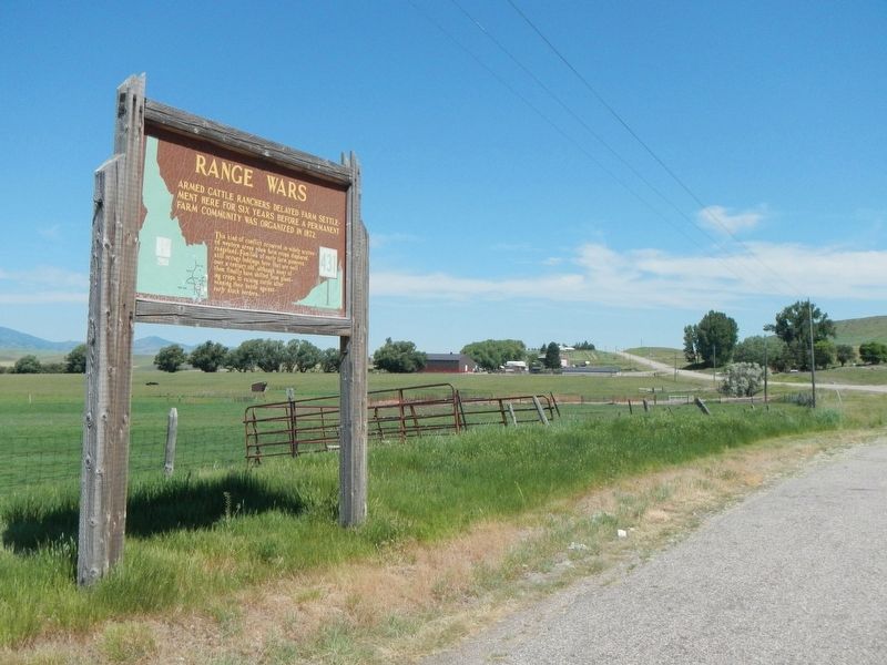
2. Range Wars Marker
Credits. This page was last revised on July 19, 2017. It was originally submitted on July 19, 2017, by Barry Swackhamer of Brentwood, California. This page has been viewed 1,496 times since then and 102 times this year. Photos: 1, 2. submitted on July 19, 2017, by Barry Swackhamer of Brentwood, California.
