Placerville in El Dorado County, California — The American West (Pacific Coastal)
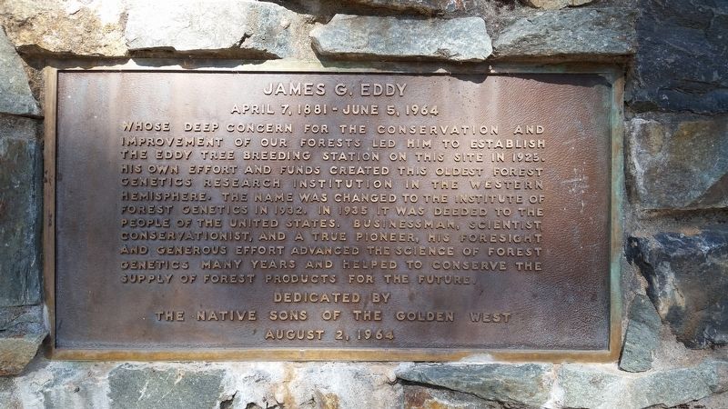
James G. Eddy
April 7, 1881 - June 5, 1964
Erected 1964 by Native Sons of the Golden West.
Topics and series. This historical marker is listed in these topic lists: Agriculture • Horticulture & Forestry • Science & Medicine. In addition, it is included in the Native Sons/Daughters of the Golden West series list. A significant historical year for this entry is 1925.
Location. 38° 44.384′ N, 120° 44.538′ W. Marker is in Placerville, California, in El Dorado County. Marker can be reached from Carson Road, 0.3 miles east of Union Ridge Road. Touch for map. Marker is at or near this postal address: 2480-2500 Carson Road, Placerville CA 95667, United States of America. Touch for directions.
Other nearby markers. At least 8 other markers are within 3 miles of this marker, measured as the crow flies. The Smith Flat House (approx. ¾ mile away); Boeger Winery (approx. 1.8 miles away); Swift Berry (approx. 2.6 miles away); Methodist Episcopal Church (approx. 2.9 miles away); The Druid Monument (approx. 3 miles away); Upper Central House (approx. 3 miles away); J. Wonderly House / N.C. Fassett Groceries & Provisions / Burn & McBride / Lofty Lou’s Yarn Shop (approx. 3 miles away); John Mohler Studebaker (approx. 3.1 miles away). Touch for a list and map of all markers in Placerville.
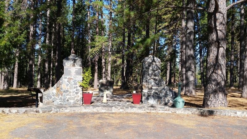
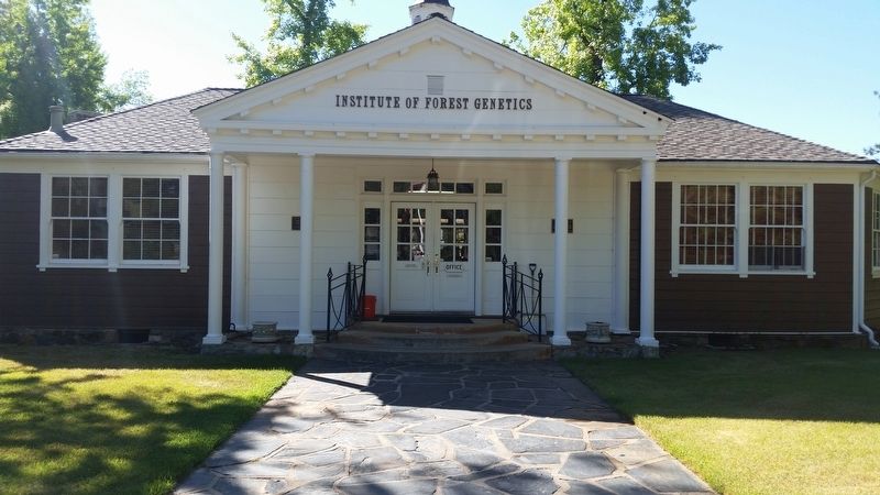
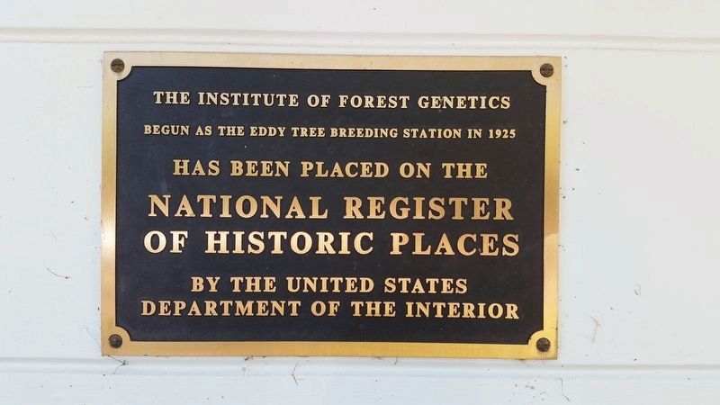
More about this marker. The marker is in the Eddy Arboretum, on the grounds of the Institute of Forest Genetics, near the main office building. It is accessible only during business hours Monday through Friday.
Credits. This page was last revised on July 23, 2017. It was originally submitted on July 20, 2017, by James King of San Miguel, California. This page has been viewed 244 times since then and 17 times this year. Photos: 1, 2, 3. submitted on July 20, 2017, by James King of San Miguel, California. 4. submitted on July 23, 2017, by James King of San Miguel, California. • Syd Whittle was the editor who published this page.


