
Near Bar Harbor in Hancock County, Maine — The American Northeast (New England)
To the Top!
Acadia National Park
Photographed by Bill Coughlin, July 10, 2017
1. To the Top! Marker
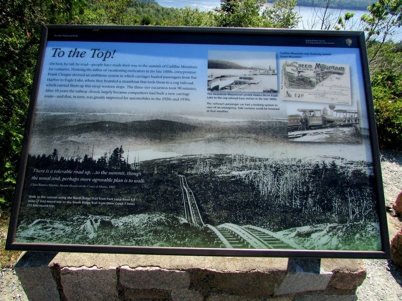
On foot, by rail, by road – people have made their way to the summit of Cadillac Mountain for centuries. Noticing the influx of vacationing rusticators in the late 1800s, entrepreneur Frank Clergue devised an ambitious system in which carriages hauled passengers from Bar Harbor to Eagle Lake, where they boarded a steamboat that took them to a cog railroad, which carried them up this steep western slope. The three-tier excursion took 90 minutes. After 10 years the railway closed, largely because competitors had built a new carriage route – and that, in turn, was greatly improved for automobiles in the 1920s and 1930s.
“There is a tolerable road up . . . to the summit, though the usual and, perhaps more agreeable plan is to walk.”
Clara Barnes Martin, Mount Desert on the Coast of Maine, 1867
Walk to the summit using the North Ridge Trail from Park Loop Road 4.4 miles (7 km) round-trip or the South Ridge Trail from Otter Creek 7 miles (11 km) round-trip.
Erected by National Park Service.
Topics. This historical marker is listed in these topic lists: Railroads & Streetcars • Roads & Vehicles.
Location. 44° 21.017′ N,
this page online

Regionally, this marker is on Mount Desert Island and in Downeast Maine. It is also in the American Northeast, in New England, and on the Eastern Seaboard. Globally, it is in the North Atlantic Region, North America, the Great North Woods, the Western Hemisphere, the Western World, and the Anglosphere. Historically, it finds itself in what was once the Viceroyalty of New France and also Acadia.
Other nearby markers. At least 8 other markers are within 2 miles of this marker, measured as the crow flies: Trustee's Foresight (about 400 feet away, measured in a direct line); Picture Perfect? (approx. 0.3 miles away); Stephen Tyng Mather (approx. 0.3 miles away); Cadillac Mountain (approx. 0.3 miles away); Saved for Future Generations (approx. 0.3 miles away); Mountaintop Retreat (approx. 0.3 miles away); Volcanic Landscape Exposed
Photographed by Bill Coughlin, July 10, 2017
2. To the Top! Marker
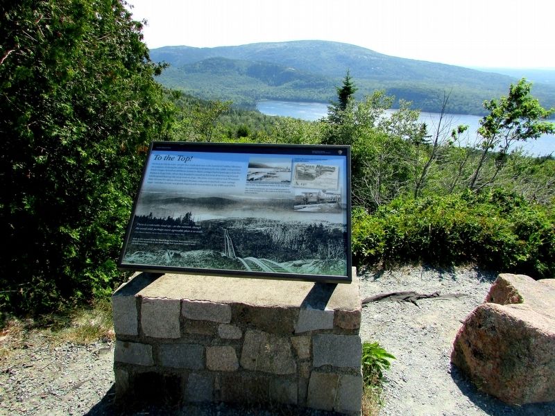
More about this marker. The background of the marker contains a photograph of the cog railroad rising to the summit of Cadillac Mountain.
Three photos appear at the upper right of the marker. These have captions of “The steamboat Wauwinnet carried visitors down Eagle Lake to the cog railroad base station in the late 1800s. The railway’s passenger car had a braking system in case of emergency. Side curtains could be lowered in foul weather. Cadillac Mountain was formerly named Green Mountain.”
Photographed by Bill Coughlin, July 10, 2017
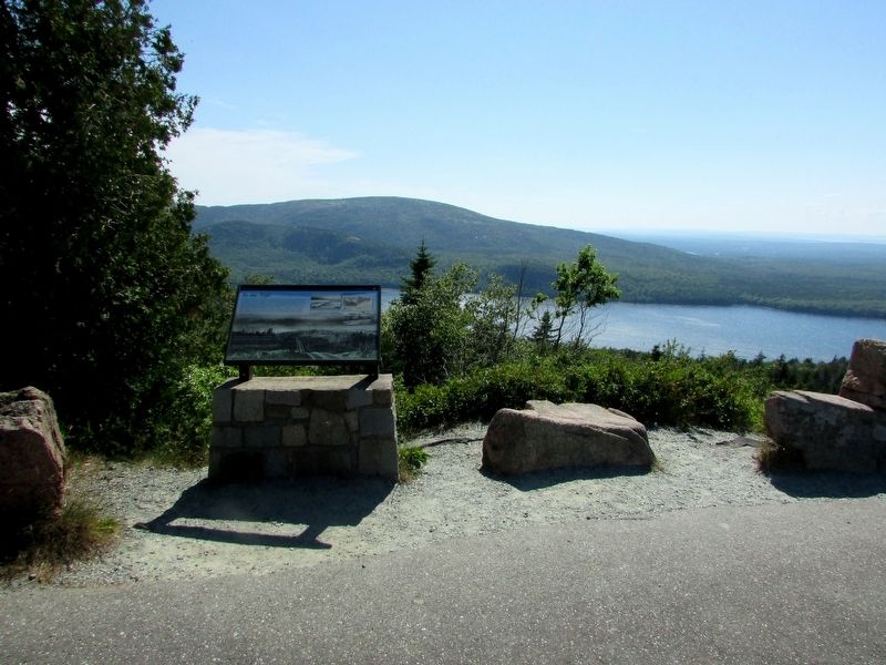
3. Marker in Acadia National Park
Photographed by Bill Coughlin, July 10, 2017
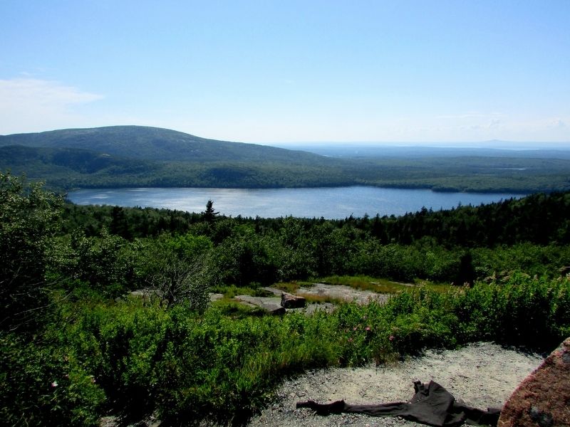
4. Eagle Lake seen from the Marker
This view shows the area where the cog railroad was once located.
Credits. This page was last revised on August 12, 2025. It was originally submitted on July 21, 2017, by Bill Coughlin of Woodland Park, New Jersey. This page has been viewed 406 times since then and 13 times this year. Photos: 1, 2, 3, 4. submitted on July 21, 2017, by Bill Coughlin of Woodland Park, New Jersey.
