Near Bar Harbor in Hancock County, Maine — The American Northeast (New England)
Volcanic Landscape Exposed
Acadia National Park
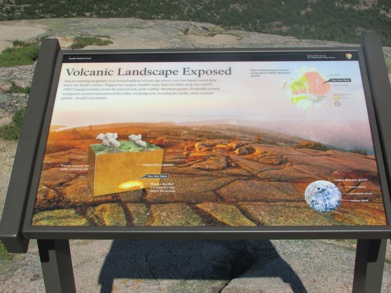
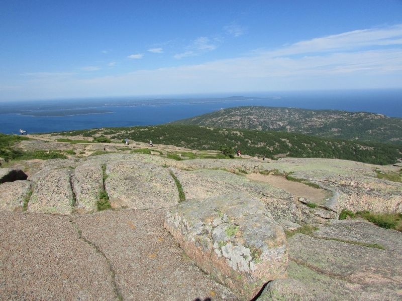
You are standing on granite rock formed millions of years ago when a very hot liquid cooled deep below the Earth’s surface. Trapped in a magma chamber more than two miles deep, the 1,652°F (900° C) liquid crystallized into the mineral rich, pink Cadillac Mountain granite. Eventually erosion and glaciers scoured and removed the softer, overlying rock, revealing the harder, more resistant granite – Acadia’s mountains.
Most of Mount Desert Island is composed of Cadillac Mountain granite.
Erected by National Park Service.
Topics. This historical marker is listed in this topic list: Natural Features.
Location. 44° 21.21′ N, 68° 13.48′ W. Marker is near Bar Harbor, Maine, in Hancock County. Marker can be reached from Cadillac Summit Road. Marker is located at the summit of Cadillac Mountain. Touch for map. Marker is in this post office area: Bar Harbor ME 04609, United States of America. Touch for directions.
Other nearby markers. At least 8 other markers are within one mile of this marker, measured as the crow flies. Picture Perfect? (within shouting distance of this marker); Stephen Tyng Mather (about 400 feet away, measured in a direct line); Cadillac Mountain (about 400 feet away); To the Top! (approx. 0.3 miles away); Acadia’s Founding Father (approx. one mile away); George Bucknam Dorr (approx. one mile away); Sieur de Monts Spring: The Heart of Acadia National Park (approx. one mile away); Wabanaki Traditions (approx. one mile away). Touch for a list and map of all markers in Bar Harbor.
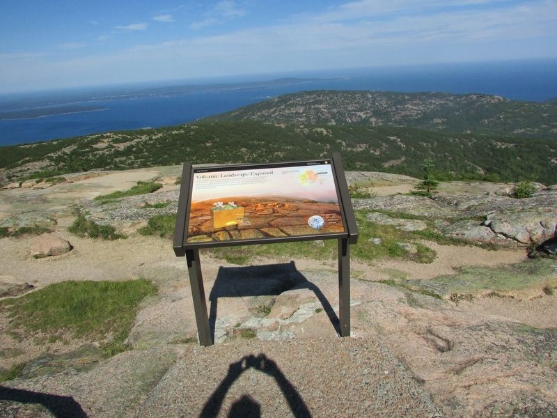
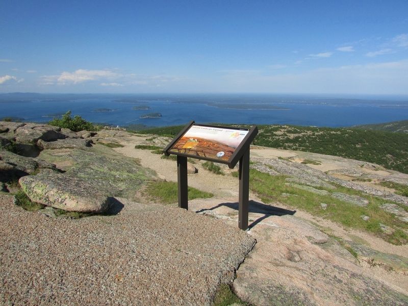
More about this marker. The background of the marker contains a photograph of the granite surface of the summit of Cadillac Mountain. A diagram at the bottom left illustrates how the granite that is now on the surface originated in a Magma chamber 2.3 miles (3.7 km) below the surface and how the magma flowed upward.
Credits. This page was last revised on July 21, 2017. It was originally submitted on July 21, 2017, by Bill Coughlin of Woodland Park, New Jersey. This page has been viewed 282 times since then and 12 times this year. Photos: 1, 2, 3, 4. submitted on July 21, 2017, by Bill Coughlin of Woodland Park, New Jersey.


