Mid City South in Baton Rouge in East Baton Rouge Parish, Louisiana — The American South (West South Central)
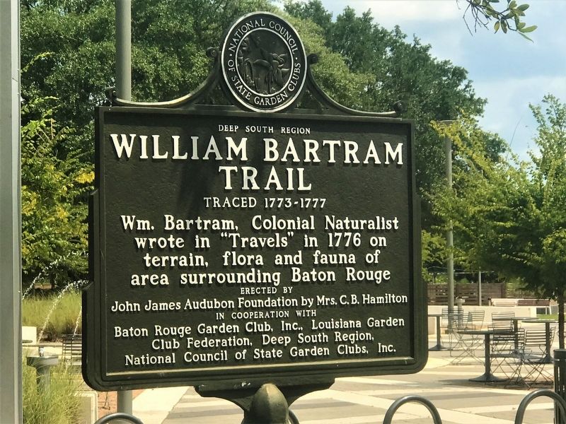
William Bartram Trail
Traced 1773-1777
Photographed by Cajun Scrambler, July 21, 2017
1. William Bartram Trail Marker
wrote in "Travels" in 1776 on
terrain, flora and fauna of
area surrounding Baton Rouge
Erected by John James Audubon Foundation by Mrs. C.B. Hamilton. Baton Rouge Garden Club, Inc., Louisiana Garden Club Foundation, Deep South Region, National Council of State Garden Clubs, Inc.
Topics and series. This historical marker is listed in these topic lists: Colonial Era • Horticulture & Forestry. In addition, it is included in the William Bartram Trails series list.
Location. 30° 26.619′ N, 91° 6.389′ W. Marker is in Baton Rouge, Louisiana, in East Baton Rouge Parish. It is in Mid City South. It can be reached from Goodwood Boulevard 0.2 miles west of East Airport Avenue, on the right when traveling west. Touch for map. Marker is at or near this postal address: 7711 Goodwood Boulevard, Baton Rouge LA 70806, United States of America. Touch for directions.

Regionally, this marker is in Louisiana’s Florida Parishes. It is also in the American South, specifically in the Deep South, and in the Great River Road Region. Globally,
this page online
Other nearby markers. At least 8 other markers are within 3 miles of this marker, measured as the crow flies: Peace 平和 (approx. 0.6 miles away); The Hill Memorial Library Columns (approx. 2.3 miles away); Stoner-Athens House (approx. 2.3 miles away); Stoker Barn (approx. 2.3 miles away); Dog-Trot House (approx. 2.3 miles away); Pioneer Cabin (approx. 2.3 miles away); Cemetery (approx. 2.3 miles away); Uncle Jack (approx. 2.3 miles away). Touch for a list and map of all markers in Baton Rouge.
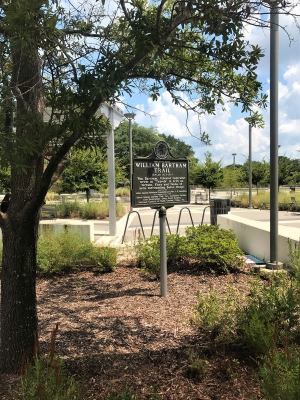
More about this marker. Located in front of the East Baton Rouge Parish Main Library - Goodwood.
Photographed by Cajun Scrambler, July 21, 2017
2. William Bartram Trail Marker
Credits. This page was last revised on February 12, 2023. It was originally submitted on July 21, 2017, by Cajun Scrambler of Assumption, Louisiana. This page has been viewed 432 times since then and 17 times this year. Photos: 1, 2. submitted on July 21, 2017.
