Mackinaw City in Cheboygan County, Michigan — The American Midwest (Great Lakes)
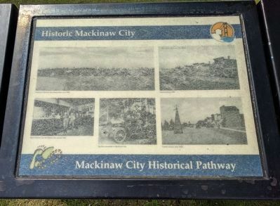
Historic Mackinaw City
| — | Mackinaw City Historical Pathway | — |
Photographed by Joel Seewald, June 11, 2017
1. Historic Mackinaw City Marker
This marker has been replaced with newer version.
[Captions:]
Mackinaw City from the railroad dock, circa 1890s.
Central Avenue, 1909.
Ryan's Saloon, now the Keyhole Bar, around 1905.
The first automobile in Mackinaw City.
Central Avenue, early 1920s. (Marker Number 45.)
Topics. This historical marker is listed in these topic lists: Industry & Commerce • Railroads & Streetcars • Roads & Vehicles • Settlements & Settlers. A significant historical year for this entry is 1890.
Location. This marker has been replaced by another marker nearby. It was located near 45° 46.891′ N, 84° 43.537′ W. Marker was in Mackinaw City, Michigan, in Cheboygan County. It was on East Central Avenue, on the left when traveling east. Marker is on an island in the middle of East Central Avenue at the intersection with Langlade Street (to the north), North Huron Avenue (to the east), and South Huron Avenue (to the south). Touch for map. Marker was in this post office area: Mackinaw City MI 49701, United States of America. Touch for directions.

Regionally, this marker was in Northern Michigan Lower Peninsula, on the Straits of Mackinac, and in one of the Lake Huron Shore
this page online
Other nearby markers. At least 8 other markers are within walking distance of this location: A different marker also named Historic Mackinaw City (here, next to this marker); The Dixie Highway (within shouting distance of this marker); a different marker also named Mackinaw, Mackinac or Michilimackinac? (within shouting distance of this marker); The Water Highway (within shouting distance of this marker); a different marker also named The Algomah (within shouting distance of this marker); Shepler's Ferry (within shouting distance of this marker); Mackinaw City (within shouting distance of this marker); Iron Horse (within shouting distance of this marker). Touch for a list and map of all markers in Mackinaw City.
Other markers no longer nearby. The Dixie Highway (was within shouting distance of this marker but has been replaced with another marker
Photographed by Joel Seewald, June 11, 2017
2. Historic Mackinaw City Marker
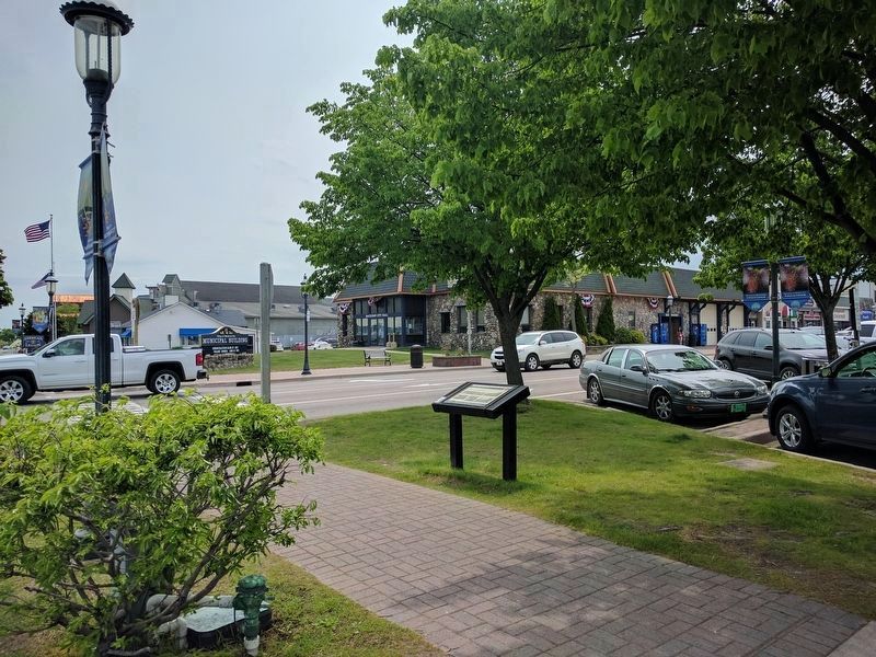
View looking toward the southeast and the Mackinaw City Municipal Building — across eastbound East Central Avenue.
Credits. This page was last revised on May 28, 2025. It was originally submitted on July 22, 2017, by Joel Seewald of Madison Heights, Michigan. This page has been viewed 442 times since then and 29 times this year. Photos: 1, 2. submitted on July 22, 2017, by Joel Seewald of Madison Heights, Michigan.
