Highlands/Perkins in Baton Rouge in East Baton Rouge Parish, Louisiana — The American South (West South Central)
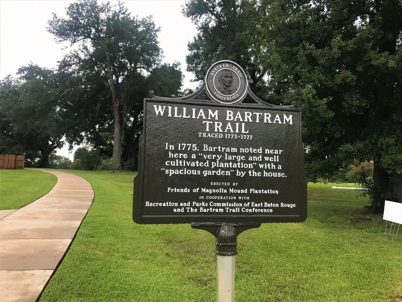
William Bartram Trail
Traced 1773-1777
here a "very large and well
cultivated plantation" with a
"spacious garden" by the house.
Erected by Friends of Magnolia Mound Plantation. The Recreation and Parks Commission of Baton Rouge and The Bartram Trail Confrence.
Topics and series. This historical marker is listed in these topic lists: Colonial Era • Horticulture & Forestry. In addition, it is included in the William Bartram Trails series list.
Location. 30° 25.611′ N, 91° 11.212′ W. Marker is in Baton Rouge, Louisiana, in East Baton Rouge Parish. It is in Highlands/Perkins. Marker can be reached from Nicholson Drive (State Highway 30) north of West Johnson Street, on the right when traveling north. Touch for map. Marker is at or near this postal address: 2161 Nicholson Drive, Baton Rouge LA 70802, United States of America. Touch for directions.
Other nearby markers. At least 8 other markers are within walking distance of this marker. A Bench By The Road (approx. 0.7 miles away); Bob Petit (approx. 0.8 miles away); Shaquille O'Neal (approx. 0.8 miles away); Seimone Augustus (approx. 0.8 miles away); Pete Maravich (approx. 0.8 miles away); Simon Bolivar Oak (approx. 0.8 miles away); LSU Campus Mounds (16EBR6) (approx. 0.8 miles away); LSU Campus Mounds (approx. 0.8 miles away). Touch for a list and map of all markers in Baton Rouge.
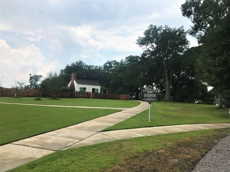
More about this marker. Located on the grounds of the Magnolia Mound Plantation.
Also see . . . Magnolia Mound BREC Website. (Submitted on July 22, 2017, by Cajun Scrambler of Assumption, Louisiana.)
Credits. This page was last revised on July 16, 2023. It was originally submitted on July 22, 2017, by Cajun Scrambler of Assumption, Louisiana. This page has been viewed 225 times since then and 12 times this year. Photos: 1, 2. submitted on July 22, 2017.

