
Sault Ste. Marie in Algoma District, Ontario — Central Canada (North America)
Passenger and Packet Freighters on the Upper Great Lakes
Photographed by Kevin Craft, July 4, 2017
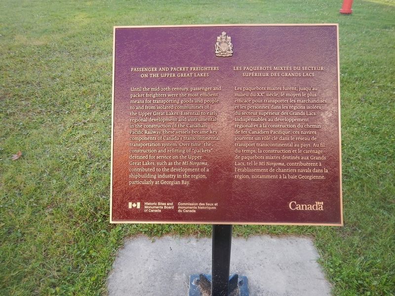
1. Passenger and Packet Freighters on the Upper Great Lakes Marker
Until the mid-20th century, passenger and packet freighters were the most efficient means for transporting goods and people to and from isolated communities of the Upper Great Lakes. Essential to early regional development and instrumental in the construction of the Canadian Pacific Railway, these vessels became key components of Canada's transcontinental transportation system. Over time, the construction and refitting of "packets" destined for service on the Upper Great lakes, such as the MS Norgoma, contributed to the development of a shipbuilding industry in the region, particularly at Georgian Bay.
this page online
Erected by Historic Sites and Monuments Board of Canada.
Topics and series. This historical marker is listed in this topic list: Waterways & Vessels. In addition, it is included in the Canada, Historic Sites and Monuments Board series list.
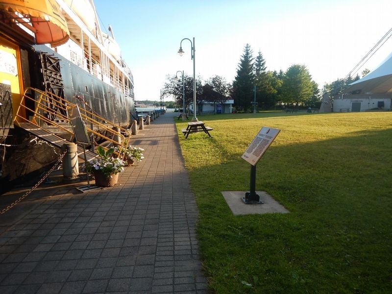
Location. 46° 30.523′ N, 84° 20.131′ W. Marker is in Sault Ste. Marie, Ontario, in Algoma District. It is on Foster Drive 0.4 kilometers east of St Mary's River Drive, on the right when traveling east. Marker is located off the port bow of the MS Norgoma museum ship on Foster Drive, just west of the foot of Spring Street. Touch for map. Marker is at or near this postal address: 65 Foster Drive, Sault Ste Marie ON P6A 5N1, Canada. Touch for directions.

Regionally, this marker is in the Sault Ste. Marie and Algoma Area and in Northern Ontario. It is also in Central Canada. Globally, it is in North America, in the Great North Woods, on the Great Lakes, on Lake Superior’s North Shore, in the Western Hemisphere, in the Western World, and in the Anglosphere. Historically,
Photographed by Kevin Craft, July 4, 2017
2. Wideview of Passenger and Packet Freighters on the Upper Great Lakes Marker
Other nearby markers. At least 8 other markers are within walking distance of this marker: Dr. Roberta Bondar (a few steps from this marker); Roberta Bondar Park (about 90 meters away, measured in a direct line); The St. Marys River / La rivière Sainte-Marie (about 90 meters away); Gathering Place (about 180 meters away); City of Sault Ste. Marie 100th Anniversary Flower Garden and Commemorative Plaque (approx. 0.3 kilometers away); Edison Sault Electric Building (approx. 0.3 kilometers away); William Henry “Bill” Orazietti (approx. 0.3 kilometers away); Spirits Rising (approx. 0.3 kilometers away). Touch for a list and map of all markers in Sault Ste. Marie.
Also see . . . MS Norgoma. Wikipedia entry (Submitted on July 10, 2024, by Larry Gertner of New York, New York.)
Photographed by Kevin Craft, July 4, 2017
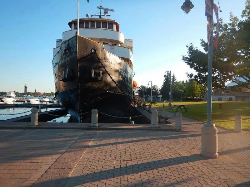
3. Packet Freighter MS Norgoma
Credits. This page was last revised on July 10, 2024. It was originally submitted on July 23, 2017, by Kevin Craft of Bedford, Quebec. This page has been viewed 423 times since then and 31 times this year. Photos: 1, 2, 3. submitted on July 23, 2017, by Kevin Craft of Bedford, Quebec.
