Near Wayan in Caribou County, Idaho — The American West (Mountains)
John Grey
Photographed by Barry Swackhamer, June 21, 2017
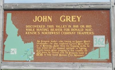
1. John Grey Marker
An Iroquois leader -- he also explored Grey's River nearby in Wyoming. Aside from his trapping skills, he was noted for his unusual aptitude in fighting grizzly bears. After trapping in this country for 20 years, he retired with his Iroquois band in 1836 to help found Kansas City, Missouri
Erected by Idaho Department of Transportation. (Marker Number 362.)
Topics and series. This historical marker is listed in these topic lists: Exploration • Indigenous Peoples and Communities. In addition, it is included in the Idaho State Historical Society series list. A significant historical year for this entry is 1818.
Location. 42° 58.604′ N, 111° 22.639′ W. Marker is near Wayan, Idaho, in Caribou County. It is on Wayan Loop Road (State Highway 34) near Wayan Loop Road, on the right when traveling west. Touch for map. Marker is at or near this postal address: 3956 Wayan Loop Road, Wayan ID 83285, United States of America. Touch for directions.

Regionally, this marker is in Bear River Country. It is also in the
this page online
Other nearby markers. At least 5 other markers are within 15 miles of this marker, measured as the crow flies: Cariboo Mountain (within shouting distance of this marker); Grays Lake Valley (within shouting distance of this marker); Henry-Chester Country Store (approx. 9.1 miles away); Tincup Creek (approx. 9.6 miles away); China Hat Geological Site (approx. 14.3 miles away).
Photographed by Barry Swackhamer, June 21, 2017
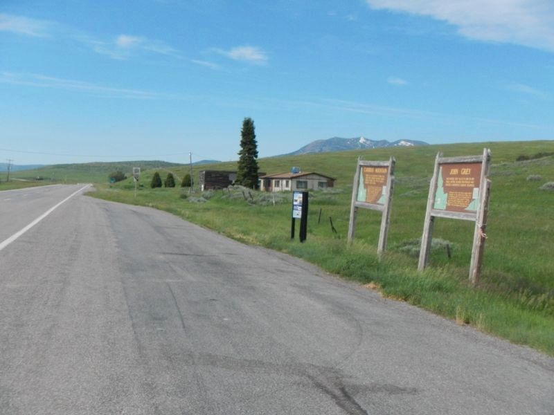
2. John Grey Marker
This marker is the closest, on the right.
Photographed by Father Nicholas Point
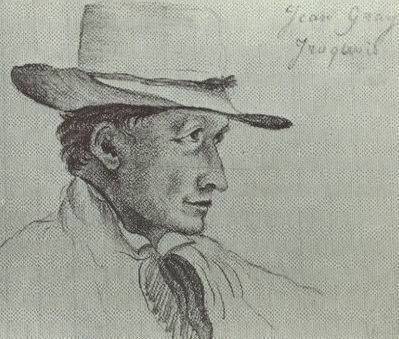
3. Father Nicholas Point's sketch of John Gray
Photographed by Father Nicholas Point, circa 1841
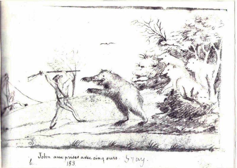
4. Father Point's 1841 on-scene sketch of John Gray's historic battle with the five grizzly bears
Credits. This page was last revised on December 28, 2024. It was originally submitted on July 23, 2017, by Barry Swackhamer of Brentwood, California. This page has been viewed 3,213 times since then and 161 times this year. Photos: 1, 2, 3, 4. submitted on July 23, 2017, by Barry Swackhamer of Brentwood, California.
