Old Pleasant Hill in De Soto Parish, Louisiana — The American South (West South Central)
War for Southern Independence
Civil War -- War of the Rebellion
— Red River Campaign 1864 —
Front
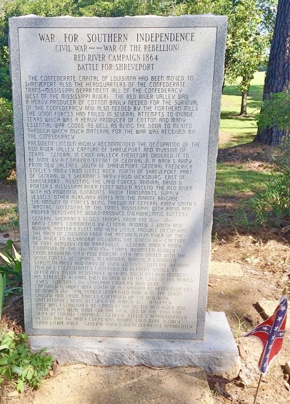
The Confederate capital of Louisiana had been moved to Shreveport, also the headquarters of the Confederate Trans-Mississippi Department (All of the Confederacy west of the Mississippi River). The Red River Valley was a heavy producer of cotton badly needed for the survival of the Confederacy and also needed by the northern mills. The Union forces had failed in several attempts to invade Texas which was a heavy producer of cotton and many essential war goods, as well as being the door to Mexico through which much material for the war was received by the Confederacy.
President Lincoln highly recommended the occupation of the Red River Valley, capture of Shreveport and invasion of Texas. General in Chief Halleck therefore ordered to be done by a combined effort of general N. P. Bank's army from New Orleans, south of Shreveport, General Frederick Steele's army from Little Rock, north of Shreveport, part of General W.T. Sherman's army from Vicksburg, east of Shreveport. Assisting the land forces, Admiral David D. Porter's Mississippi River fleet would ascend the Red River with his powerful gunboats, troop transports, supply vessels, other auxiliary boats and the marine brigade. The amount of forces being thrown at General Kirby Smith's "Ragtag" defenders of the Trans Mississippi with rapid and proper deployment would produce overwhelming success.
General Sherman's 10,000 troops from the 16th, 17th Army Corps commanded by General Andrew J. Smith and Admiral Porter's fleet had very little trouble occupying the area of Louisiana from the Atchafalaya River up to the Red River to Alexandria including the March 14th capture of Fort DeRussy near Marksville. General Banks's army, composed of the 13th and 19th Corps, advanced slowly from Brasher City now Morgan City and united with the Union forces occupying Alexandria, making a combined strength army and navy of over 40,000. General Richard Taylor's Confederates continued to retreat, unable to offer any major resistance with his much inferior numbers. His strength became even weaker with the loss of his armies even Vincent's 2nd Louisiana cavalry, who were returned a short way north of Alexandria at Henderson Hill on March 21st. The nearly unopposed march of the Union ground and naval forces continued up the Red with Natchitoches being occupied on March 31st. A supply base was established at Grand Ecore on the Red River and there plans were made for the final leg of the thus far very victorious campaign. General Steele's approximately 14,000 man 7th Army Corps was moving even more slowly from Little Rock. General Bank's overconfidence apparently
Rear
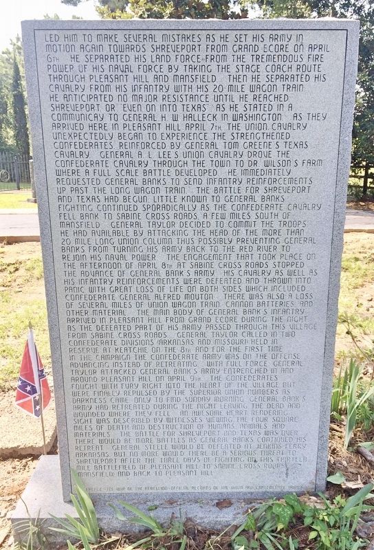
led him to make several mistakes as he set his army in motion again towards Shreveport from Grand Ecore on April 6th. He separated his land force from the tremendous fire power of his naval force by taking the stage coach route through Pleasant Hill and Mansfield. Then he separated his cavalry from his infantry with his 20 mile wagon train. He anticipated no major resistance until he reached Shreveport or even on into Texas as he stated in a communicay to General H.W. Halleck in Washington. As they arrived here in Pleasant Hill April 7th, the Union cavalry unexpectedly began to experience the strengthened Confederates reinforced by General Tom Greene's Texas cavalry. General A.L. Lee's Union cavalry drove the Confederate cavalry through the town to Dr. Wilson's farm where a full scale battle developed. He immediately requested General Banks to send infantry reinforcements up past the long wagon train. The battle for Shreveport and Texas had begun. Little known to General Banks, fighting continued sporadically as the Confederate cavalry fell bank to Sabine Cross Roads a few miles south of Mansfield. General Taylor decided to commit the troops he had available by attacking the head of the more than 20 mile long Union column thus possibly preventing General Banks from turning his army back to the Red River to rejoin his naval power. The engagement that took place on the afternoon of April 8th at Sabine Cross Roads stopped the advance of General Bank's Army. His cavalry as well as his infantry reinforcements were defeated and thrown into panic with great loss of life on both sides which included Confederate General Alfred Mouton. There was also a loss of several miles of Union wagon train, cannon batteries and other material. The main body of General Bank's infantry arrived in Pleasant Hill from Grand Ecore during the night as the defeated part of his army passed through this village from Sabine Cross Roads. General Taylor called in two Confederate divisions (Arkansas and Missouri) held in reserve at Keatchie on the 8th and for the first time in the campaign the Confederate army was on the offense, advancing instead of retreating. With full force, General Taylor attacked General Bank's army entrenched in and around Pleasant Hill on April 9th. The Confederates fought with fury right into the heart of the village but were finally repulsed by the superior Union numbers as darkens came only to find Sunday morning General Bank's army had retreated during the night leaving the dead and wounded where they fell. An awesome heart rendering sight was described by Witnesses viewing the four square miles of death and destruction of humans, animals and materials. The Battle for Shreveport and Texas was over. There would be more battles as General Banks continued his retreat. General Steel would be defeated at Jenkins Ferry, Arkansas but no more would there be a serious threat to Shreveport after the three days of fighting on this thirteen mile battlefield of Pleasant Hill, Sabine Cross Roads (Mansfield) and back to Pleasant Hill.
Reference – The War of the Rebellion–Official records of the Union and Confederate armies
Topics and series. This historical marker is listed in this topic list: War, US Civil. In addition, it is included in the Former U.S. Presidents: #16 Abraham Lincoln series list. A significant day of the year for for this entry is March 14.
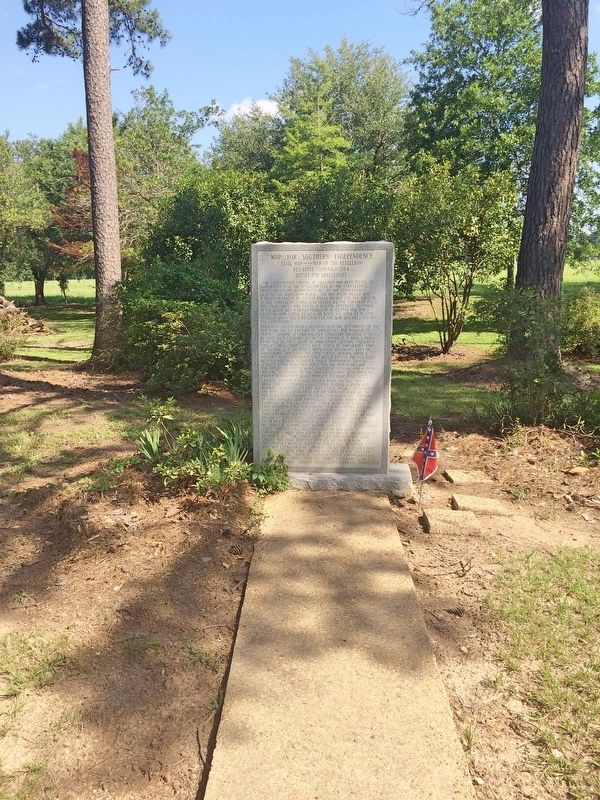
Location. 31° 51.217′ N, 93° 30.809′ W. Marker is in Old Pleasant Hill, Louisiana, in De Soto Parish. Marker is at the intersection of Louisiana Route 175 and Parish Road 1068, on the right when traveling north on State Route 175. Touch for map. Marker is at or near this postal address: 23271 LA-175, Pelican LA 71063, United States of America. Touch for directions.
Other nearby markers. At least 8 other markers are within walking distance of this marker. Pleasant Hill Battlefield (within shouting distance of this marker); Dr. and Mrs. C.E. "Gene" Poimboeuf (within shouting distance of this marker); Account of the Battle of Pleasant Hill (within shouting distance of this marker); Welcome to Old Pleasant Hill (within shouting distance of this marker); Battle of Pleasant Hill Memorial (within shouting distance of this marker); Confederate Soldiers Monument (within shouting distance of this marker); Pleasant Hill Battle Park (within shouting distance of this marker); Old Pleasant Hill (within shouting distance of this marker). Touch for a list and map of all markers in Old Pleasant Hill.
Also see . . . Wikipedia article on the Battle of Pleasant Hill. (Submitted on July 23, 2017, by Mark Hilton of Montgomery, Alabama.)
Credits. This page was last revised on July 23, 2017. It was originally submitted on July 23, 2017, by Mark Hilton of Montgomery, Alabama. This page has been viewed 453 times since then and 21 times this year. Photos: 1, 2, 3, 4. submitted on July 23, 2017, by Mark Hilton of Montgomery, Alabama.


