Waterfront District in Portland in Cumberland County, Maine — The American Northeast (New England)
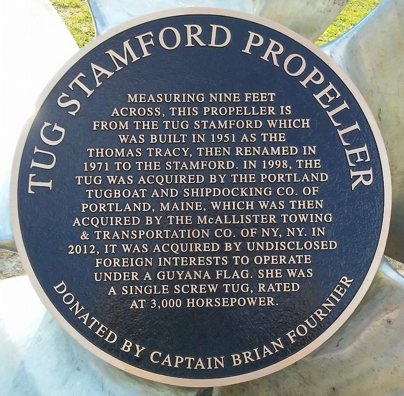
Tug Stamford Propeller
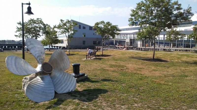
Measuring nine feet across, this propeller is from the Tug Stamford which was built in 1951 as the Thomas Tracy, then renamed in 1971 to the Stamford. In 1998, the tug was acquired by the Portland Tugboat and Shipbuilding Co. of Portland, Maine, which was then acquired by the McAllister Towing & Transportation Co. of NY, NY. In 2012, it was acquired by undisclosed foreign interests to operate under a Guyana flag. She was a single screw tug, rated at 3,000 horsepower.
Donated by Captain Brian Fournier
Topics. This historical marker is listed in this topic list: Waterways & Vessels. A significant historical year for this entry is 1951.
Location. 43° 39.601′ N, 70° 14.756′ W. Marker is in Portland, Maine, in Cumberland County. It is in the Waterfront District. Marker is on Thames Street north of Hancock Street, on the right when traveling north. Marker and propeller are adjacent to The Cat Portland to Yarmouth ferry loading area. Touch for map. Marker is at or near this postal address: 14 Ocean Gateway Pier, Portland ME 04101, United States of America. Touch for directions.
Other nearby markers. At least 8 other markers are within walking distance of this marker. On this site (about 700 feet away, measured in a direct line); India Street Terminal (about 700 feet away); The Site of Fort Loyal (about 700 feet away); Home of Charles Frederick Eastman, Harriet Stephenson Eastman, and her father, Alexander Stephenson (approx. 0.2 miles away); Hack Stand of Charles H.L. Pierre (approx. 0.2 miles away); Franklin Street Wharf (approx. 0.2 miles away); Home of Amos Noë and Christiana Williams Freeman (approx. ¼ mile away); Today, you see a healthier Casco Bay / Take a closer look (approx. ¼ mile away). Touch for a list and map of all markers in Portland.
Also see . . . Stamford Information. (Submitted on July 23, 2017, by William Fischer, Jr. of Scranton, Pennsylvania.)
Credits. This page was last revised on February 13, 2023. It was originally submitted on July 23, 2017, by William Fischer, Jr. of Scranton, Pennsylvania. This page has been viewed 547 times since then and 27 times this year. Photos: 1, 2. submitted on July 24, 2017, by William Fischer, Jr. of Scranton, Pennsylvania.

