Old Pleasant Hill in De Soto Parish, Louisiana — The American South (West South Central)
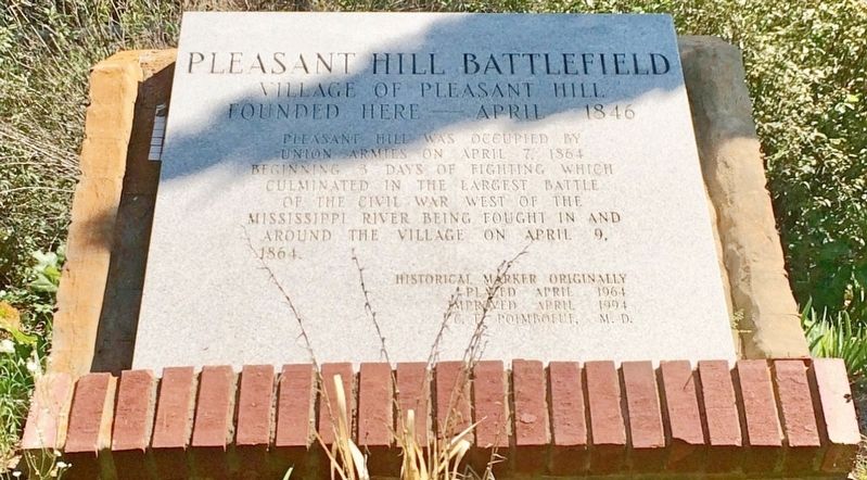
Pleasant Hill Battlefield
Village of Pleasant Hill
— Founded Here — April 1846 —
Union armies on April 7, 1864
beginning 3 days of fighting which
culminated in the largest battle
of the Civil War west of the
Mississippi River being fought in and
around the village on April 9, 1864.
Placed April 1964
Improved April 1994
C.E. Poimboeuf, M.D.
Erected by C.E. Poimboeuf, M.D.
Topics. This historical marker is listed in these topic lists: Settlements & Settlers • War, US Civil. A significant historical date for this entry is April 7, 1864.
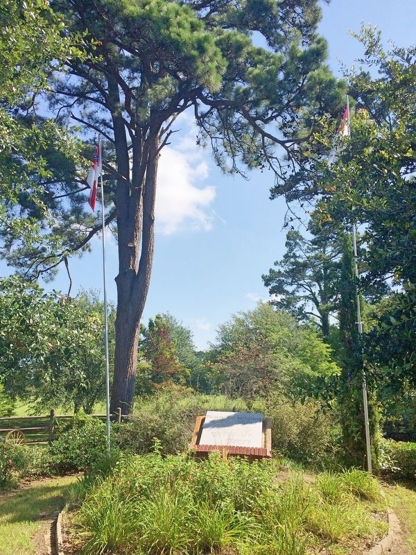
Location. 31° 51.216′ N, 93° 30.825′ W. Marker is in Old Pleasant Hill, Louisiana, in De Soto Parish. Marker can be reached from Parish Road 1068 near State Route 175. Touch for map. Marker is at or near this postal address: 23271 LA-175, Pelican LA 71063, United States of America. Touch for directions.
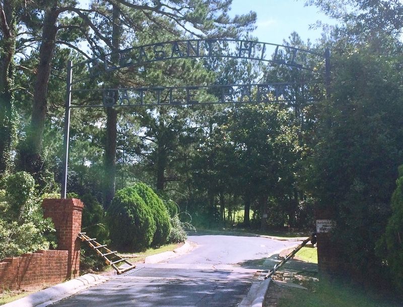
Other nearby markers. At least 8 other markers are within walking distance of this marker. Headquarters Department of the Gulf / Headquarters Trans-Mississippi Dept. (a few steps from this marker); War for Southern Independence (within shouting distance of this marker); Confederate and Union Soldier Memorial (within shouting distance of this marker); Old Pleasant Hill (within shouting distance of this marker); Road to Cemetery (within shouting distance of this marker); Battle of Pleasant Hill Memorial (within shouting distance of this marker); Pleasant Hill Battle Park (within shouting distance of this marker); The Old Cistern (within shouting distance of this marker). Touch for a list and map of all markers in Old Pleasant Hill.
Also see . . . Wikipedia article on the Battle of Pleasant Hill. (Submitted on July 23, 2017, by Mark Hilton of Montgomery, Alabama.)
Credits. This page was last revised on July 23, 2017. It was originally submitted on July 23, 2017, by Mark Hilton of Montgomery, Alabama. This page has been viewed 450 times since then and 38 times this year. Photos: 1, 2, 3. submitted on July 23, 2017, by Mark Hilton of Montgomery, Alabama.


