Natchitoches in Natchitoches Parish, Louisiana — The American South (West South Central)
The American Cemetery
Photographed by Tom Bosse, July 3, 2017
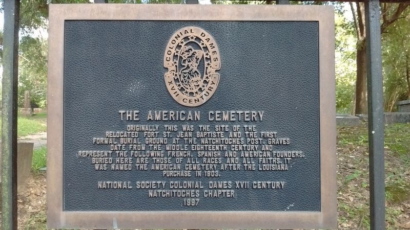
1. The American Cemetery Marker
Originally this was the site of the relocated Fort St. Jean Baptiste and the first formal burial ground at the Natchitoches Post. Graves date from the middle eighteenth century and represent the following French, Spanish and American founders. Buried here are those of all races and of all faiths. It was named the American Cemetery after the Louisiana Purchase in 1803.
Erected 1997 by National Society Colonial Dames XVII Century, Natchitoches Chapter.
Topics and series. This historical marker is listed in these topic lists: Cemeteries & Burial Sites • Forts and Castles. In addition, it is included in the The Colonial Dames XVII Century, National Society series list. A significant historical year for this entry is 1803.
Location. 31° 45.262′ N, 93° 5.472′ W. Marker is in Natchitoches, Louisiana, in Natchitoches Parish. It is on 2nd Street north of Bossier Street, on the right when traveling north. Touch for map. Marker is at or near this postal address: 2nd St #200, Natchitoches LA 71457, United States of America. Touch for directions.

Regionally, this marker is in Central Louisiana. It is also in the American
this page online
Other nearby markers. At least 8 other markers are within walking distance of this marker: Fort Saint Jean Baptiste (a few steps from this marker); Fort St. Jean Baptiste (a few steps from this marker); a different marker also named American Cemetery (a few steps from this marker); a different marker also named The American Cemetery (within shouting distance of this marker); Colonel William Houston Jack (within shouting distance of this marker); Steel Magnolias (within shouting distance of this marker); Susan Harling Robinson Park (about 600 feet away, measured in a direct line); Judge Porter House (about 700 feet away). Touch for a list and map of all markers in Natchitoches.
Also see . . . The American Cemetery in Natchitoches, Louisiana.
Photographed by Tom Bosse, July 3, 2017
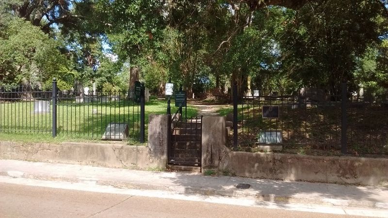
2. The American Cemetery Marker
Photographed by Tom Bosse, July 3, 2017
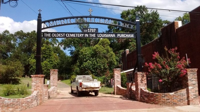
3. The American Cemetery
Photographed by Tom Bosse, July 3, 2017
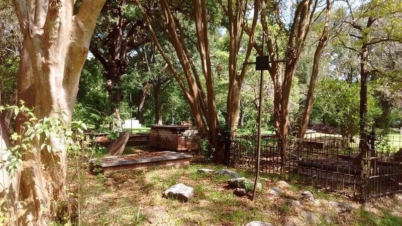
4. Dame Marie Ann D’Artigaux Grave
The oldest surviving grave marker, dating to 1797.
Photographed by Tom Bosse, July 3, 2017
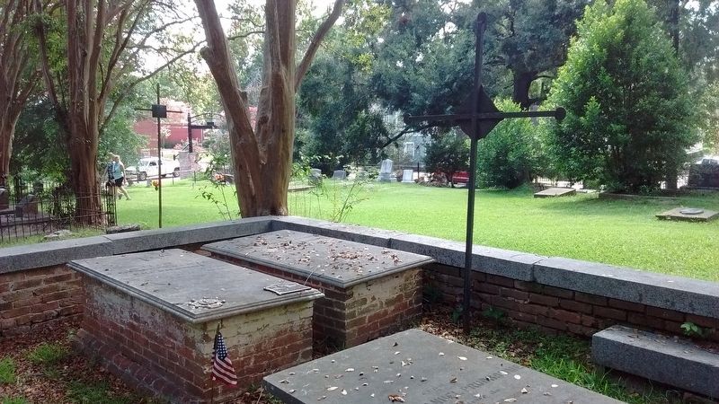
5. The American Cemetery
1762 – 1845
Revolutionary War Patriot Jean Pierre Emanuel Prud’homme
Served in the Galvez Expedition
Marker placed by St. Denis Chapter NSDAR
Oct. 23, 2010
Photographed by Tom Bosse, July 3, 2017
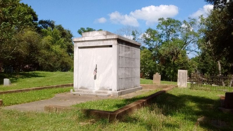
6. John Gideon Lewis, Sr. Grave
Photographed by Tom Bosse, July 3, 2017
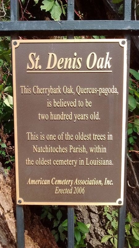
7. St. Denis Oak
Photographed by Tom Bosse, July 3, 2017
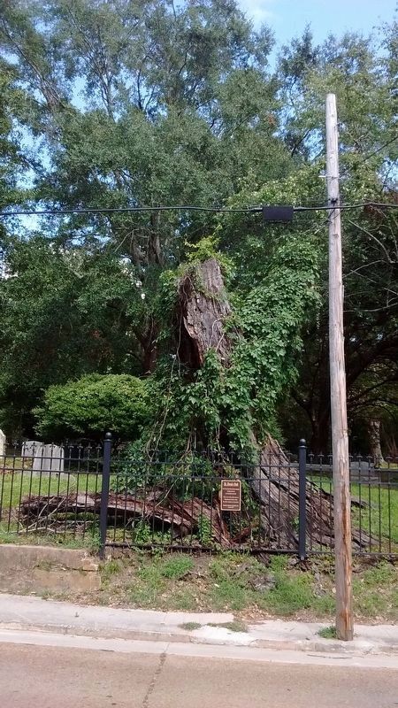
8. St. Denis Oak
Credits. This page was last revised on May 16, 2024. It was originally submitted on July 25, 2017, by Tom Bosse of Jefferson City, Tennessee. This page has been viewed 701 times since then and 40 times this year. Photos: 1, 2, 3, 4, 5, 6. submitted on July 25, 2017, by Tom Bosse of Jefferson City, Tennessee. 7, 8. submitted on February 14, 2018, by Tom Bosse of Jefferson City, Tennessee. • Bernard Fisher was the editor who published this page.
