Near Robeline in Natchitoches Parish, Louisiana — The American South (West South Central)
The Presidio Nuestra Senora del Pilar de los Adais
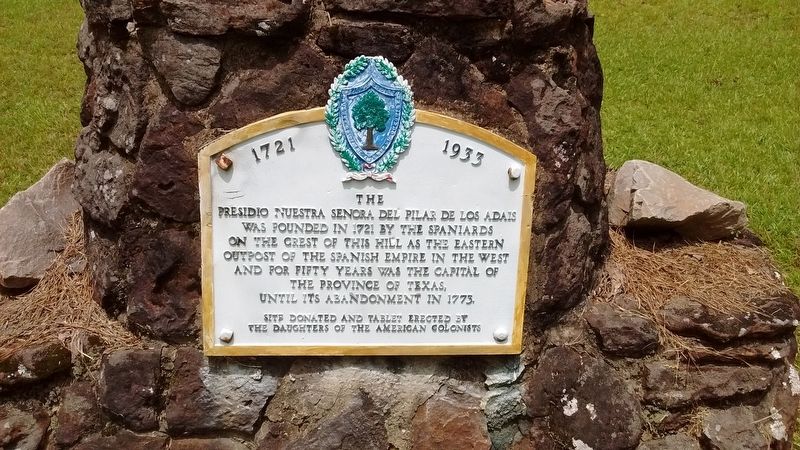
Inscription.
Was founded in 1721 by the Spaniards on the crest of this hill as the Eastern outpost of the Spanish Empire in the West and for fifty years was the capital of the Province of Texas until its abandonment in 1773.
Site donated and tablet erected by The Daughters of the American Colonists.
Erected 1933 by The Daughters of the American Colonists.
Topics and series. This historical marker is listed in these topic lists: Colonial Era • Forts and Castles. In addition, it is included in the Daughters of the American Colonists series list. A significant historical year for this entry is 1721.
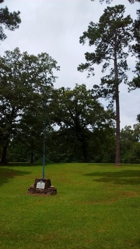
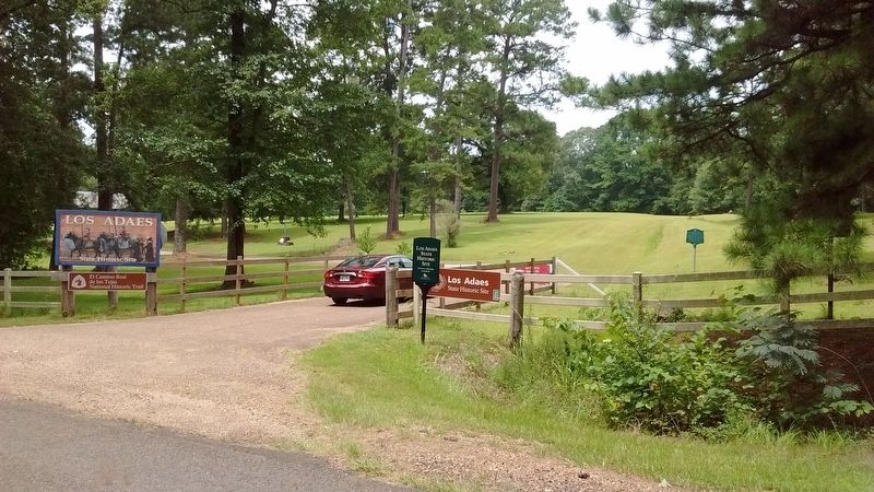
Location. 31° 42.496′ N, 93° 17.557′ W. Marker is near Robeline, Louisiana, in Natchitoches Parish. Marker can be reached from State Highway 485, half a mile north of Natchitoches Highway (State Highway 6), on the left when traveling north. Marker located near the entrance of the Los Adaes State Historic Site. Touch for map. Marker is at or near this postal address: 6354 LA-485, Robeline LA 71469, United States of America. Touch for directions.
Other nearby markers. At least 8 other markers are within 10 miles of this marker, measured as the crow flies. Los Adais (within shouting distance of this marker); El Camino Real de los Tejas (about 300 feet away, measured in a direct line); El Camino Real (approx. half a mile away); Los Adaes (approx. half a mile away); William Hodge Barnhill (approx. 8.3 miles away); Grave of Unknown Confederate Soldier (approx. 8.4 miles away); a different marker also named El Camino Real (approx. 9.2 miles away); Fort Jesup (approx. 9.3 miles away). Touch for a list and map of all markers in Robeline.
Also see . . . Los Adaes. (Submitted on July 26, 2017, by Tom Bosse of Jefferson City, Tennessee.)
Credits. This page was last revised on October 27, 2020. It was originally submitted on July 26, 2017, by Tom Bosse of Jefferson City, Tennessee. This page has been viewed 337 times since then and 11 times this year. Photos: 1, 2, 3. submitted on July 26, 2017, by Tom Bosse of Jefferson City, Tennessee. • Bernard Fisher was the editor who published this page.


