Near Cone in Crosby County, Texas — The American South (West South Central)
Cone Cemetery
Photographed by Bill Kirchner, June 9, 2017
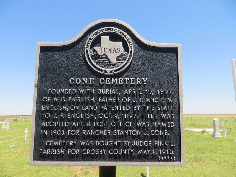
1. Cone Cemetery Marker
Cemetery was bought by Judge Pink L. Parrish for Crosby County, May 8, 1910.
Erected 1971 by State Historical Survey Committee. (Marker Number 1022.)
Topics. This historical marker is listed in this topic list: Cemeteries & Burial Sites. A significant historical date for this entry is April 17, 1897.
Location. 33° 47.805′ N, 101° 25.322′ W. Marker is near Cone, Texas, in Crosby County. It is on Farm to Market Road 193 2 miles west of U.S. 62 when traveling west. Touch for map. Marker is in this post office area: Ralls TX 79357, United States of America. Touch for directions.

Regionally, this marker is on the South Plains. It is also on the American Great Plains and specifically on the Southern Plains. Globally, it is in North America, a Gulf of Mexico state, the Western Hemisphere, the Western World, and the Anglosphere. Historically, it finds itself in what was once New Spain,
this page online
Other nearby markers. At least 8 other markers are within 9 miles of this marker, measured as the crow flies: Village of Cone (approx. 2 miles away); Farmer Community (approx. 2.2 miles away); Floyd County (approx. 7½ miles away); The Battle of Blanco Canyon (approx. 7½ miles away); Coronado in Blanco Canyon (approx. 7½ miles away); Roots of the Catholic Faith in West Texas (approx. 7½ miles away); City of Ralls (approx. 8.4 miles away); Early Settlers of Ralls (approx. 8.4 miles away). Touch for a list and map of all markers in Cone.
Photographed by Bill Kirchner, June 9, 2017
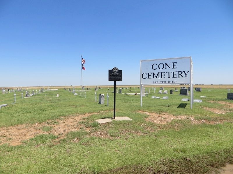
2. Cone Cemetery Marker
Photographed by Bill Kirchner, June 9, 2017
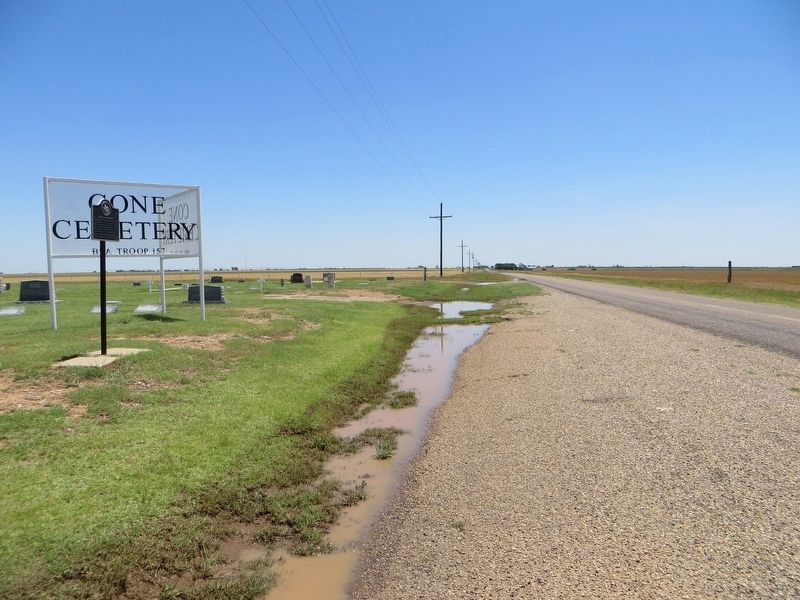
3. Cone Cemetery Marker
View east on highway FM-193
Credits. This page was last revised on July 26, 2017. It was originally submitted on July 26, 2017, by Bill Kirchner of Tucson, Arizona. This page has been viewed 634 times since then and 38 times this year. Photos: 1, 2, 3. submitted on July 26, 2017, by Bill Kirchner of Tucson, Arizona.
