
Sault Ste. Marie in Algoma District, Ontario — Central Canada (North America)
Sault Ste. Marie Ship Canal
Canal de Sault Ste. Marie
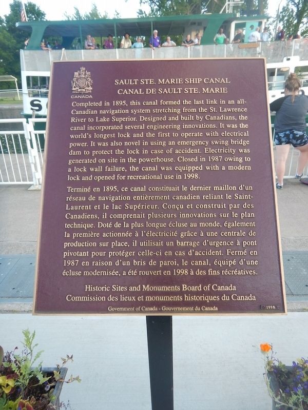
Photographed by Kevin Craft, July 4, 2017
1. Sault Ste. Marie Ship Canal Marker

Completed in 1895, this canal formed the last link in an all-Canadian navigation system stretching from the St. Lawrence River to Lake Superior. Designed and built by Canadians, the canal incorporated several engineering innovations. It was the world's longest lock and the first to operate with electrical power. It was also novel in using an emergency swing bridge dam to protect the lock in case of accident. Electricity was generated on site in the powerhouse. Closed in 1987 owing to a lock wall failure, the canal was equipped with a modern lock and opened for recreational use in 1998.
this page online
Erected 1998 by Historic Sites and Monuments Board of Canada.
Topics and series. This historical marker is listed in these topic lists: Industry & Commerce • Waterways & Vessels. In addition, it is included in the Canada, Historic Sites and Monuments Board series list. A significant historical year for this entry is 1895.
Location. 46° 30.782′ N, 84° 21.038′ W. Marker is in Sault Ste. Marie, Ontario, in Algoma District. It can be reached from Canal Drive 0.7 kilometers south of Huron Street, on the right when traveling east. Marker is located on the walkway next to the canal, near the Administration Building. Touch for map. Marker is at or near this postal address: 1 Canal Drive, Sault Ste Marie ON P6A 6W4, Canada. Touch for directions.

Regionally, this marker is in the Sault Ste. Marie and Algoma Area and in Northern Ontario. It is also in Central Canada. Globally, it is in North America, in the Great North Woods, on the Great Lakes, on Lake Superior’s North Shore, in the Western Hemisphere, in the Western World, and in the Anglosphere.
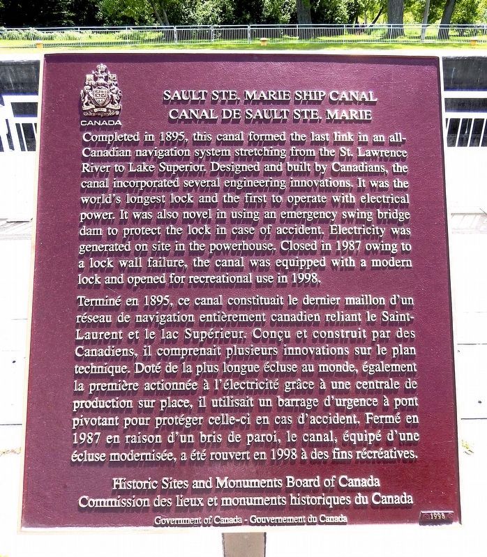
Photographed by Cosmos Mariner, June 11, 2024
2. Sault Ste. Marie Ship Canal Marker
Other nearby markers. At least 8 other markers are within walking distance of this marker: The Sault Canal / Le canal du Sault (here, next to this marker); The All Canadian Waterway (1895-1959) / La voie navigable entièrement canadienne (1895-1959) (a few steps from this marker); The Canal at war, 1914 / Le canal en guerre, 1914 (a few steps from this marker); A National Historic Site at the Sault / Un lieu historique national au Sault (a few steps from this marker); An Accident at the Canal / Un accident dans le canal (within shouting distance of this marker); D-Day/Jour J (within shouting distance of this marker); Celebrating Indigenous History and Heritage / Célébrons l'histoire et le patrimoine autochtones (within shouting distance of this marker); Equality and Multiculturalism / Égalité et multiculturalisme (within shouting distance of this marker). Touch for a list and map of all markers in Sault Ste. Marie.
Also see . . . Wikipedia - Sault Ste. Marie Canal.
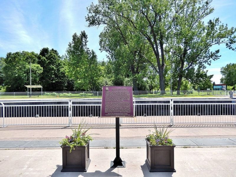
Photographed by Cosmos Mariner, June 11, 2024
3. Sault Ste. Marie Ship Canal Marker
Looking south across the canal; the south side of St. Marys Island is in the background.
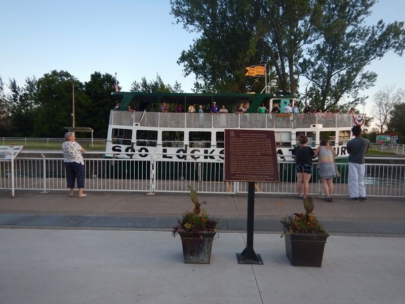
Photographed by Kevin Craft, July 4, 2017
4. Wideview of Sault Ste. Marie Ship Canal Marker
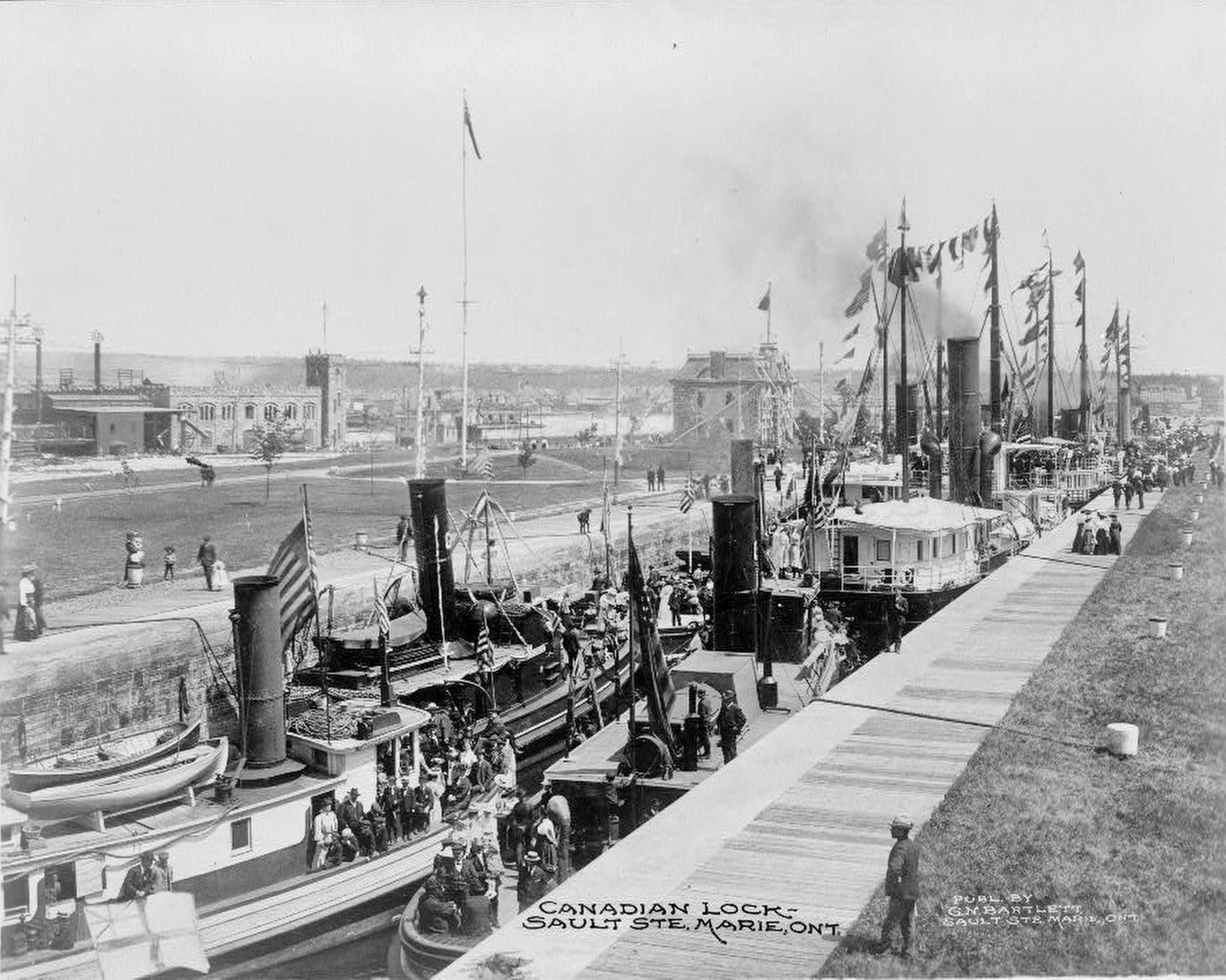
Published by G.N. Bartlett, Sault Ste. Marie, Ont., circa 1900
5. Canadian lock - Sault Ste. Marie, Ont.
Photograph courtesy of the Library of Congress.
Credits. This page was last revised on May 19, 2025. It was originally submitted on July 27, 2017, by Kevin Craft of Bedford, Quebec. This page has been viewed 542 times since then and 42 times this year. Photos: 1. submitted on July 27, 2017, by Kevin Craft of Bedford, Quebec. 2, 3. submitted on May 19, 2025, by Cosmos Mariner of Cape Canaveral, Florida. 4. submitted on July 27, 2017, by Kevin Craft of Bedford, Quebec. 5. submitted on August 9, 2017.
