Ralls in Crosby County, Texas — The American South (West South Central)
Ralls Cemetery
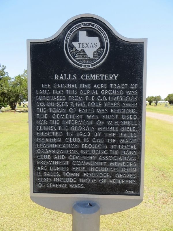
Photographed by Bill Kirchner, June 9, 2017
1. Ralls Cemetery Marker
Erected 1985 by Texas Historical Commission. (Marker Number 4171.)
Topics. This historical marker is listed in this topic list: Cemeteries & Burial Sites. A significant historical date for this entry is September 7, 1915.
Location. 33° 40.359′ N, 101° 24.055′ W. Marker is in Ralls, Texas, in Crosby County. It can be reached from the intersection of U.S. 82 and U.S. 62, on the left when traveling west. Marker is in cemetery, by the flagpole, at Jaybird Lane and Willow Avenue. Touch for map. Marker is in this post office area: Ralls TX 79357, United States of America. Touch for directions.

Regionally,
this page online
Other nearby markers. At least 8 other markers are within 8 miles of this marker, measured as the crow flies: John Robinson Ralls (about 300 feet away, measured in a direct line); John R. Ralls Building (approx. one mile away); Early Settlers of Ralls (approx. 1.1 miles away); City of Ralls (approx. 1.1 miles away); Emma (approx. 3.8 miles away); Emma Cemetery (approx. 4.3 miles away); Lorenzo (approx. 7.8 miles away); Lorenzo Cemetery (approx. 8 miles away). Touch for a list and map of all markers in Ralls.
Also see . . . Find A Grave memorial for William Henry Shell. (Submitted on July 28, 2017, by Bill Kirchner of Tucson, Arizona.)
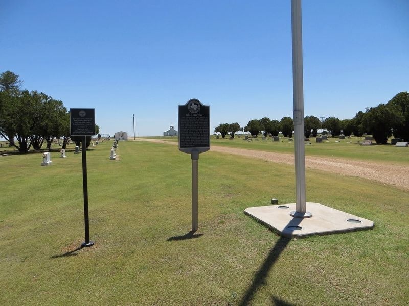
Photographed by Bill Kirchner, June 9, 2017
2. Ralls Cemetery Marker
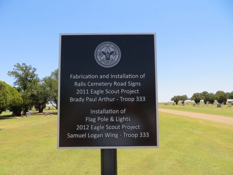
Photographed by Bill Kirchner, June 9, 2017
3. Plaque for Boy Scout projects at Ralls Cemetery.
Credits. This page was last revised on July 28, 2017. It was originally submitted on July 28, 2017, by Bill Kirchner of Tucson, Arizona. This page has been viewed 663 times since then and 52 times this year. Photos: 1, 2, 3. submitted on July 28, 2017, by Bill Kirchner of Tucson, Arizona.
