Marker Logo HMdb.org THE HISTORICAL
MARKER DATABASE
“Bite-Size Bits of Local, National, and Global History”
Near Xenia in Greene County, Ohio — The American Midwest (Great Lakes)
 

Ballard Road Covered Bridge


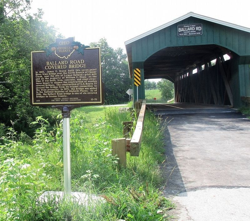
Ballard Road Covered Bridge Marker image. Click for full size.
Photographed By Rev. Ronald Irick, July 28, 2017
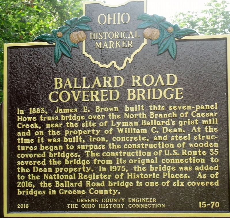
1. Ballard Road Covered Bridge Marker
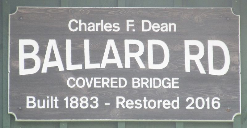
Inscription. In 1883, James E. Brown built this seven-panel Howe truss bridge over the North Branch of Caesar Creek, near the site of Lyman Ballard’s grist mill and on the property of William C. Dean. At the time it was built, iron, concrete, and steel structures began to surpass the construction of wooden covered bridges. The construction of U.S. Route 35 severed the bridge from its original connection to the Dean property. In 1975, the bridge was added to the National Register of Historic Places. As of 2016, the Ballard Road bridge is one of six covered bridges in Greene County.
 
Erected 2016 by Greene County Engineer, The Ohio History Connection. (Marker Number 30-29.)
 
Topics and series. This historical marker is listed in these topic lists: Bridges & ViaductsRoads & Vehicles. In addition, it is included in the Covered Bridges, and the Ohio Historical Society / The Ohio History Connection series lists. A significant historical year for this entry is 1883.
 
Location. 39° 40.701′ N, 83° 48.901′ W. Marker is near Xenia, Ohio, in Greene County. Marker is on North Ballard Road (County Route 6), on the left when traveling south. Touch for map. Marker is at or near this postal address: 199 North Ballard Road, Xenia OH 45385, United States of America. Touch for directions.
 
Other nearby markers. At least 8 other markers are within 5 miles of this marker,
Paid Advertisement
Click on the ad for more information.
Please report objectionable advertising to the Editor.
Click or scan to see
this page online
measured as the crow flies. Pioneer Achievements (approx. 1.8 miles away); Lt. Charles Young at Wilberforce University (approx. 3.9 miles away); Wilberforce University / Distinguished Wilberforceans (approx. 4 miles away); Albert Baker Football Practice Field (approx. 4 miles away); Galloway Hall (approx. 4.2 miles away); Hallie Quinn Brown (approx. 4.2 miles away); Paul Robeson (approx. 4.3 miles away); Brigadier General Benjamin Oliver Davis, Sr. (approx. 4.3 miles away).
 
More about this marker. The marker number on the face of this marker is wrong. The number 15-70 would put it in Richland County, more than 100 miles away. The Ohio Historical Society official number for this marker is 30-29.
 
Ballard Road Covered Bridge Marker image. Click for full size.
Photographed By Rev. Ronald Irick, July 28, 2017
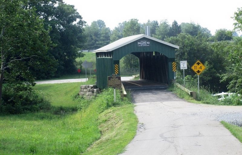
2. Ballard Road Covered Bridge Marker
Full view of marker with bridge
Ballard Road Covered Bridge Marker image. Click for full size.
Photographed By Rev. Ronald Irick, July 28, 2017
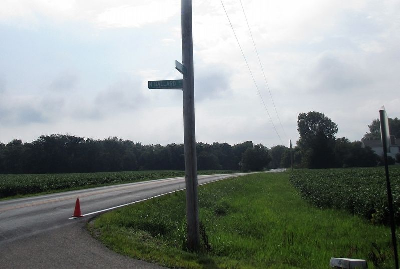
3. Ballard Road Covered Bridge Marker
Marker as seen from a distance
Ballard Road Covered Bridge Marker image. Click for full size.
Photographed By Rev. Ronald Irick, July 28, 2017
4. Ballard Road Covered Bridge Marker
Ballard Road Covered Bridge Marker image. Click for full size.
Photographed By Rev. Ronald Irick, July 28, 2017
5. Ballard Road Covered Bridge Marker
Ballard Road runs south off Old 35, east of Xenia
 
 
Credits. This page was last revised on July 8, 2018. It was originally submitted on July 29, 2017, by Rev. Ronald Irick of West Liberty, Ohio. This page has been viewed 379 times since then and 18 times this year. Photos:   1, 2, 3, 4, 5. submitted on July 29, 2017, by Rev. Ronald Irick of West Liberty, Ohio. • Bill Pfingsten was the editor who published this page.
Share this page.  
Share on Tumblr
m=106267

CeraNet Cloud Computing sponsors the Historical Marker Database.
This website earns income from purchases you make after using our links to Amazon.com. We appreciate your support.
Paid Advertisement
Apr. 18, 2024