
Georgetown in El Dorado County, California — The American West (Pacific Coastal)
The Dysfunctional Organization (TDO)
Photographed by Jerry Stinson, July 17, 2017
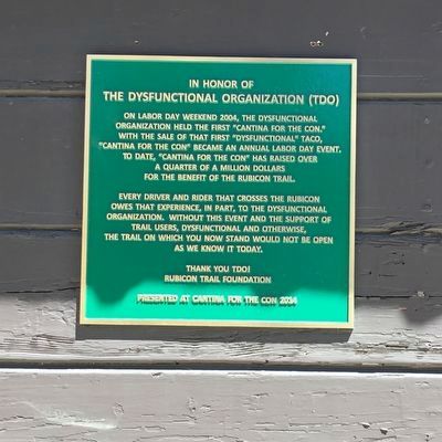
1. The Dysfunctional Organization Marker
Every driver and rider that crosses the Rubicon owes that experience, in part, to The Dysfunctional Organization. Without this event and the support of trail users, dysfunctional and otherwise, the trail on which you now stand would not be open as we know it today.
Thank you TDO!
Rubicon Trail Foundation
Presented at Cantina for the Con 2014
Erected 2014 by Rubicon Trail Foundation.
Topics. This historical marker is listed in these topic lists: Fraternal or Sororal Organizations • Roads & Vehicles. A significant historical year for this entry is 2004.
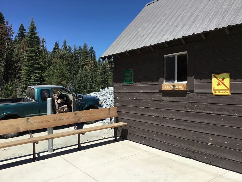
Location. 39° 0.195′ N, 120° 18.713′ W. Marker is in Georgetown, California, in El Dorado County. It is on Rubicon Trail (at milepost 0) when traveling east. This marker is on the building that marks Mile 0.0 of the Rubicon Trail, at the foot of the dam at
this page online

Regionally, this marker is in California’s Sacramento Metro, in the Gold Country, in the Sierra Nevada, and in the Lake Tahoe Basin. It is also in the American Mountain West. Globally, it is in North America, on the Ring of Fire, in the Pacific Rim, in the Western Hemisphere, in the Western World, and in the Anglosphere. Historically, it finds itself in what was once New Spain and also Mexico’s Alta California.
Other nearby markers. At least 8 other markers are within 15 miles of this marker, measured as the crow flies: The Rubicon (within shouting distance of this marker); Pine Lodge-Erhman Mansion (approx. 11.2 miles away); Placer County Emigrant Road (approx. 13.1 miles away); Pioneer Ski Area of America (approx. 14 miles away); Allexey W Von Schmidt (approx. 14.1 miles away); Lake Tahoe Railway and Transportation Co. (approx. 14.1 miles away); The Sacred Lake (approx. 14½ miles away); A Safe Harbor (approx. 14½ miles away).
Photographed by James King, July 17, 2017
2. Loon Lake, Mile 0.0
Credits. This page was last revised on July 31, 2017. It was originally submitted on July 30, 2017, by James King of San Miguel, California. This page has been viewed 293 times since then and 17 times this year. Photos: 1, 2. submitted on July 30, 2017, by James King of San Miguel, California. • Syd Whittle was the editor who published this page.
