
Middle Sackville in Tantramar, New Brunswick — The Atlantic Provinces (North America)
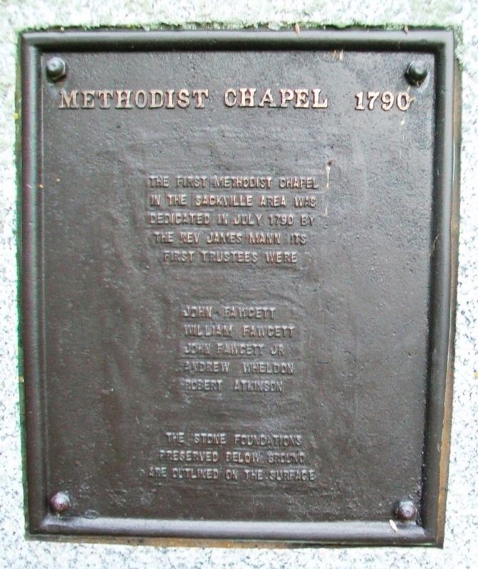
Methodist Chapel 1790
Photographed by William Fischer, Jr., July 28, 2017
1. Methodist Chapel 1790 Marker
in the Sackville area was
dedicated in July 1790 by
the Rev James Mann. It[']s
first trustees were
John Fawcett • William Fawcett
John Fawcett Jr • Andrew Wheldon
Robert Atkinson
The stone foundations
preserved below ground
are outlined on the surface
Topics. This historical marker is listed in these topic lists: Cemeteries & Burial Sites • Religion & Religious Structures • Settlements & Settlers. A significant historical month for this entry is July 1790.
Location. 45° 55.156′ N, 64° 21.945′ W. Marker is in Middle Sackville, New Brunswick, in Tantramar. It is on Main Street (New Brunswick Route 940) 0.2 kilometers south of Walker Road, on the left when traveling north. Touch for map. Marker is in this post office area: Middle Sackville NB E4L 3K9, Canada. Touch for directions.

Regionally, this marker is in Greater Moncton & Southeast. It is also in the Maritimes and in Atlantic Canada. Globally, it is in the North Atlantic Region, North America, the Western Hemisphere, the Western World, and the Anglosphere. Historically, it finds itself in what was once a British
this page online
Other nearby markers. At least 8 other markers are within 3 kilometers of this marker, measured as the crow flies: Yorkshire 2000 (a few steps from this marker); 1919 Booster Pump (approx. 1.6 kilometers away); Anglican Church Rectory (approx. 2.1 kilometers away); St. Paul's Anglican Church (approx. 2.2 kilometers away); Town Hall (approx. 2.4 kilometers away); Harold Geddes (approx. 2.4 kilometers away); The Wood Block / L'Edifice Wood (approx. 2.4 kilometers away); The Royal Canadian Air Force (approx. 2.4 kilometers away).
Also see . . . Methodist Burying Ground at Find A Grave. (Submitted on July 31, 2017, by William Fischer, Jr. of Reynoldsburg, Ohio.)
Photographed by William Fischer, Jr., July 28, 2017
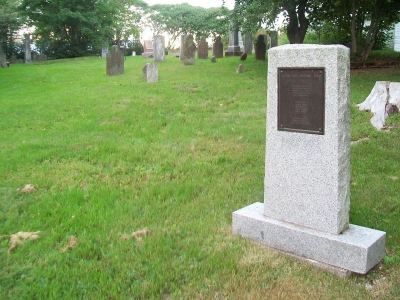
2. Methodist Chapel 1790 Marker at Methodist Burying Ground
Photographed by William Fischer, Jr., July 28, 2017
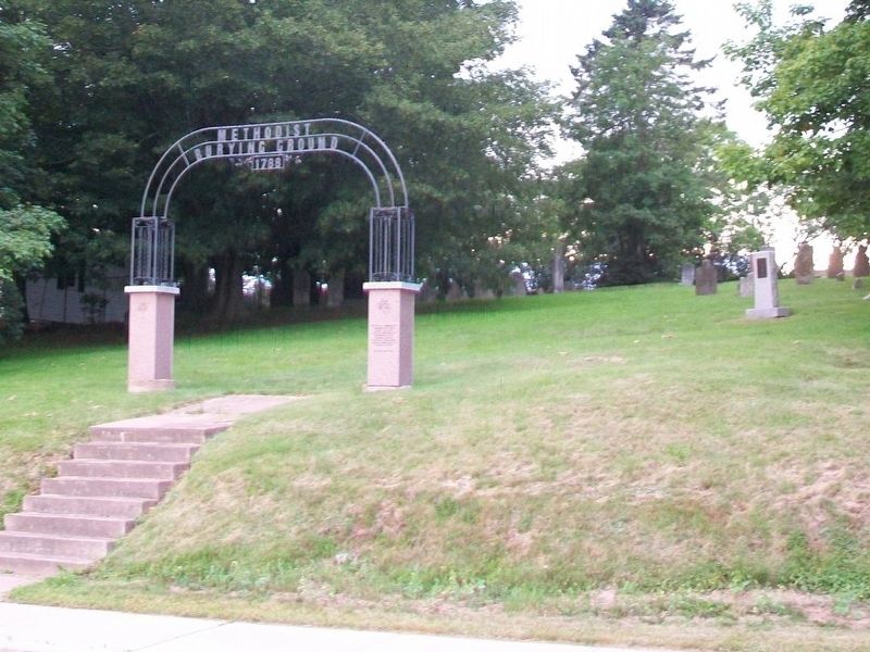
3. Methodist Chapel 1790 Marker at Methodist Burying Ground
Credits. This page was last revised on June 23, 2024. It was originally submitted on July 31, 2017, by William Fischer, Jr. of Reynoldsburg, Ohio. This page has been viewed 209 times since then and 12 times this year. Photos: 1, 2, 3. submitted on July 31, 2017, by William Fischer, Jr. of Reynoldsburg, Ohio.
