Sault Ste. Marie in Algoma District, Ontario — Central Canada (North America)
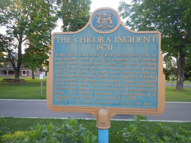
The "Chicora" Incident
1870
In May, 1870, Col. Garnet Wolseley arrived here with an expeditionary force of British regulars and Canadian militia aboard the steamer "Chicora". They were travelling to Fort Garry on the Red River to put down an uprising led by Louis Riel. The canal at the Sault was then on American territory, and Wolseley was compelled to debark and transport his troops and military supplies overland on the Ontario side. The "Chicora" was then permitted to traverse the canal and take aboard her passengers and cargo. This incident promoted the construction of a Canadian canal which was completed in 1895.
Erected by Ontario Archaeological and Historic Sites Board.
Topics. This historical marker is listed in this topic list: Waterways & Vessels. A significant historical month for this entry is May 1870.
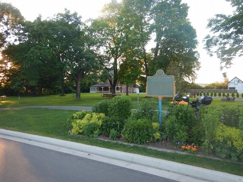
Location. 46° 30.802′ N, 84° 21.279′ W. Marker is in Sault Ste. Marie, Ontario, in Algoma District. Marker is on Canal Drive, one kilometer west of Huron Street, on the right when traveling west. Marker is located in front of the Superintendent Residence. Touch for map. Marker is at or near this postal address: 1 Canal Drive, Sault Ste Marie ON P6A 6W4, Canada. Touch for directions.
Other nearby markers. At least 8 other markers are within walking distance of this marker. Why Preserve This Big Hunk of Steel? / Pourquoi préserver cette énorme structure d'acier? (about 150 meters away, measured in a direct line); What a Rush! / Urgence! (about 150 meters away); The Last Emergency Swing Dam in the World! / Le dernier barrage tournant de secours au monde! (about 180 meters away); Emergency Swing Bridge Dam / Barrage tournant de secours (approx. 0.3 kilometers away); Sault Ste. Marie Ship Canal (approx. 0.3 kilometers away); The First Sault Ste. Marie Canal (approx. half a kilometer away); Francis Hector Clergue (approx. 0.6 kilometers away); The North West Company Post (approx. 0.7 kilometers away). Touch for a list and map of all markers in Sault Ste. Marie.
Also see . . . SooToday.com - The Chicora incident. (Submitted on July 31, 2017, by Kevin Craft of Bedford, Quebec.)
Credits. This page was last revised on July 31, 2017. It was originally submitted on July 31, 2017, by Kevin Craft of Bedford, Quebec. This page has been viewed 185 times since then and 13 times this year. Photos: 1, 2. submitted on July 31, 2017, by Kevin Craft of Bedford, Quebec.

