Lubbock in Lubbock County, Texas — The American South (West South Central)
Forks of the Brazos
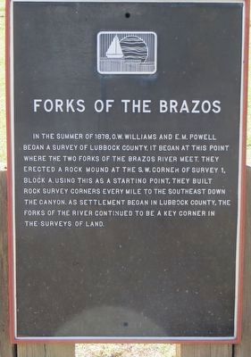
Photographed by Bill Kirchner, June 9, 2017
1. Forks of the Brazos Marker
Topics. This historical marker is listed in these topic lists: Exploration • Waterways & Vessels. A significant historical year for this entry is 1878.
Location. 33° 35.427′ N, 101° 49.771′ W. Marker is in Lubbock, Texas, in Lubbock County. It is on Cesar E. Chavez Drive 0.4 miles north of East Broadway, on the left when traveling north. Touch for map. Marker is in this post office area: Lubbock TX 79403, United States of America. Touch for directions.

Regionally, this marker is on the South Plains. It is also on the American Great Plains, specifically on the Southern Plains, and specifically on the High Plains. Globally, it is in North America, a Gulf of Mexico state, the
this page online
Other nearby markers. At least 8 other markers are within walking distance of this marker: General Ranald Slidell Mackenzie (about 800 feet away, measured in a direct line); Yellowhouse Canyon (approx. 0.4 miles away); Quanah Parker Trail (approx. half a mile away); Prairie Dog Town (approx. 0.6 miles away); Lubbock's First Cotton Gin (approx. 0.9 miles away); Lubbock Post Office and Federal Building (approx. 0.9 miles away); Mackenzie Scout Trail (approx. 0.9 miles away); Nicolett Hotel (approx. one mile away). Touch for a list and map of all markers in Lubbock.
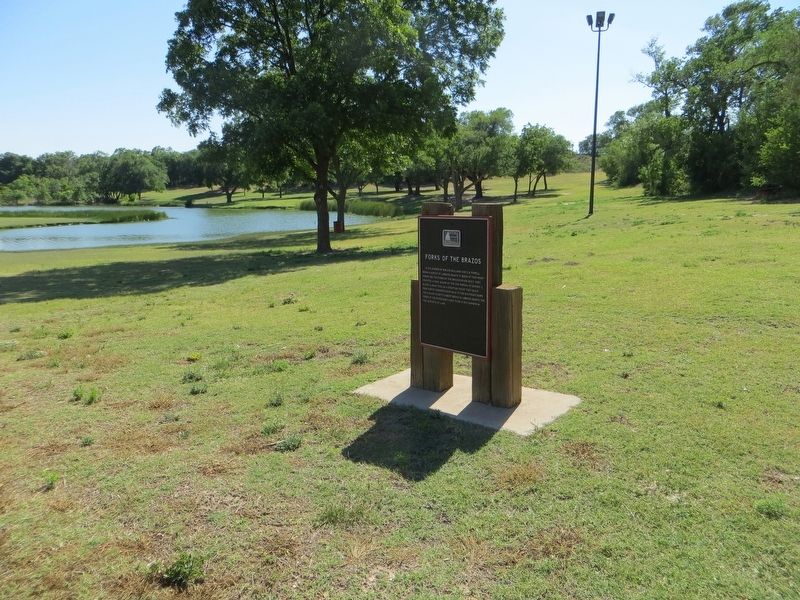
Photographed by Bill Kirchner, June 9, 2017
2. Forks of the Brazos Marker
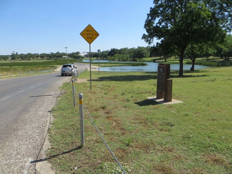
Photographed by Bill Kirchner, June 9, 2017
3. Forks of the Brazos Marker
View south on Cesar E. Chavez Drive.
Credits. This page was last revised on August 1, 2017. It was originally submitted on July 31, 2017, by Bill Kirchner of Tucson, Arizona. This page has been viewed 514 times since then and 22 times this year. Photos: 1, 2, 3. submitted on July 31, 2017, by Bill Kirchner of Tucson, Arizona.
