Sault Ste. Marie in Algoma District, Ontario — Central Canada (North America)
The North West Company Post
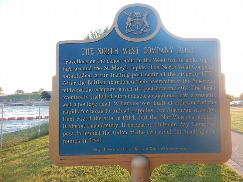
Photographed by Kevin Craft, July 4, 2017
1. The North West Company Post Marker
Travellers on the canoe route to the West had to make a portage around the St. Mary's rapids. The North West Company established a fur-trading post south of the river by 1791. After the British abandoned their occupation of the American midwest, the company moved its post here in 1797. The depot eventually included storehouses, a canal and lock, a sawmill, and a portage road. Wharves were built at either end of the rapids for boats to unload supplies. An American invasion fleet razed the site in 1814, but the Nor'Westers rebuilt it almost immediately. It became a Hudson's Bay Company post following the union of the two rival fur trading companies in 1821.
Erected by Ontario Heritage Foundation.
Topics and series. This historical marker is listed in these topic lists: Settlements & Settlers • Waterways & Vessels. In addition, it is included in the Canada, Ontario Heritage Trust series list. A significant historical year for this entry is 1791.
Location. 46° 30.904′ N, 84° 20.732′ W. Marker is in Sault Ste. Marie, Ontario, in Algoma District. It can be reached from Hub Trail 0.1 kilometers east of Canal Drive, on
this page online

Regionally, this marker is in the Sault Ste. Marie and Algoma Area and in Northern Ontario. It is also in Central Canada. Globally, it is in North America, in the Great North Woods, on the Great Lakes, on Lake Superior’s North Shore, in the Western Hemisphere, in the Western World, and in the Anglosphere. Historically, it finds itself in what was once a British colony, the Viceroyalty of New France, the Haudenosaunee (Iroquois) Confederacy, and Rupert’s Land.
Other nearby markers. At least 8 other markers are within walking distance of this marker: Francis Hector Clergue (about 90 meters away, measured in a direct line); 70th Anniversary Dutch-Canadian Friendship Tulip Garden (about 180 meters away); The First Sault Ste. Marie Canal (approx. 0.2 kilometers away); 1821 (approx. 0.2 kilometers away); 1783 (approx. 0.2 kilometers away); Sault Ste. Marie World War II Memorial (approx. 0.2 kilometers away);
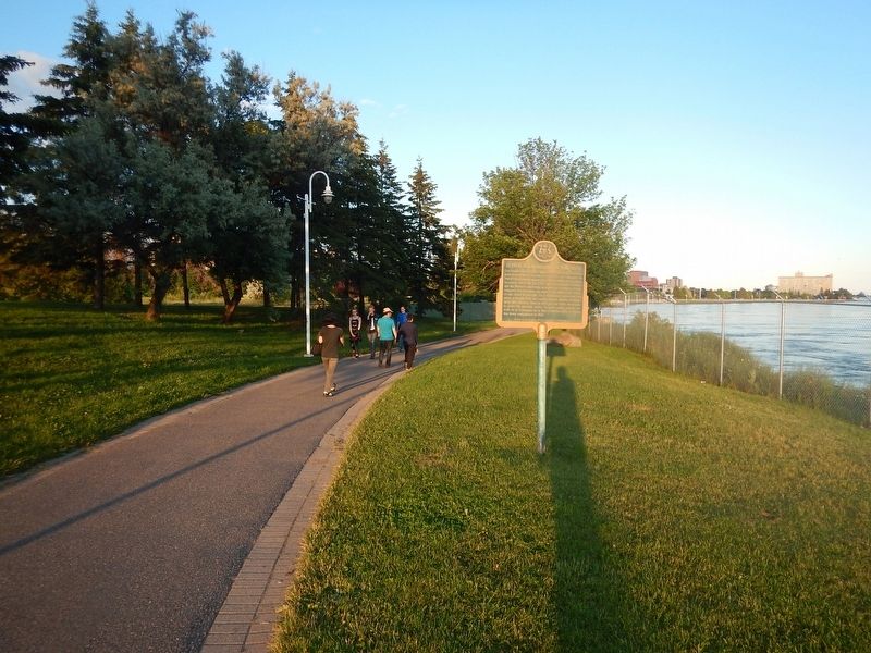
Photographed by Kevin Craft, July 4, 2017
2. Wideview of The North West Company Post Marker
Credits. This page was last revised on July 31, 2017. It was originally submitted on July 31, 2017, by Kevin Craft of Bedford, Quebec. This page has been viewed 504 times since then and 42 times this year. Photos: 1, 2. submitted on July 31, 2017, by Kevin Craft of Bedford, Quebec.
