
Sault Ste. Marie in Algoma District, Ontario — Central Canada (North America)
Francis Hector Clergue
(1856-1939)
Photographed by Kevin Craft, July 4, 2017
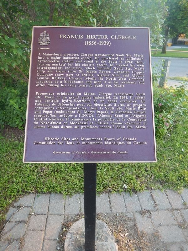
1. Francis Hector Clergue Marker
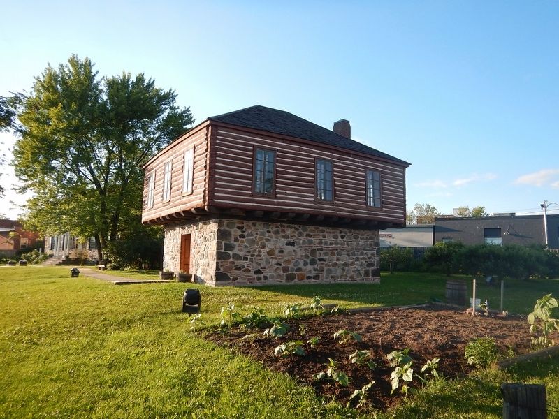
A Maine-born promoter, Clergue transformed Sault Ste. Marie into a major industrial centre. He purchased an unfinished hydroelectric station and canal at the Sault in 1894; then, lacking markets for his electric power, he created his own interdependent industries, which included Sault Ste. Marie Pulp and Paper (now St. Mary's Paper), Canadian Copper Company (now part of INCO), Algoma Steel and Algoma Central Railway. Clergue rebuilt the North West Company magazine as a blockhouse and used it as his residence and office during his early years in Sault Ste. Marie.
this page online
Erected by Historic Sites and Monuments Board of Canada.
Topics and series. This historical marker is listed in these topic lists: Industry & Commerce • Railroads & Streetcars • Settlements & Settlers • Waterways & Vessels. In addition, it is included in the Canada, Historic Sites and Monuments Board series list. A significant historical year for this entry is 1856.
Location. 46° 30.914′ N, 84° 20.807′ W. Marker is in Sault Ste. Marie, Ontario, in Algoma District. It is at the intersection of Hub Trail and Canal Drive, on the right when traveling north on Hub Trail. Touch for map. Marker is at or near this postal address: 5 Canal Drive, Sault Ste Marie ON P6A 5P4, Canada. Touch for directions.

Regionally, this marker is in the Sault Ste. Marie and Algoma Area and in Northern Ontario. It is also in Central Canada. Globally, it is in North America, in the Great North Woods, on the Great Lakes, on Lake Superior’s North Shore, in the Western Hemisphere, in the Western World, and in the Anglosphere. Historically, it finds itself in what was once a British colony, the Viceroyalty
Photographed by Kevin Craft, July 4, 2017
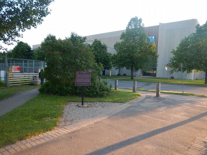
2. Wideview of Francis Hector Clergue Marker
Other nearby markers. At least 8 other markers are within walking distance of this marker: The North West Company Post (about 90 meters away, measured in a direct line); 70th Anniversary Dutch-Canadian Friendship Tulip Garden (about 150 meters away); 1821 (about 150 meters away); The First Sault Ste. Marie Canal (about 150 meters away); 1783 (about 150 meters away); Sault Ste. Marie World War II Memorial (about 150 meters away); Powerhouse, 1900 / La centrale électrique, 1900 (approx. 0.3 kilometers away); To The Voyageurs (approx. 0.3 kilometers away). Touch for a list and map of all markers in Sault Ste. Marie.
Also see . . . Wikipedia - Francis Hector Clergue. (Submitted on July 31, 2017, by Kevin Craft of Bedford, Quebec.)
Photographed by Kevin Craft, July 4, 2017
3. Clergue Blockhouse
Credits. This page was last revised on September 18, 2020. It was originally submitted on July 31, 2017, by Kevin Craft of Bedford, Quebec. This page has been viewed 403 times since then and 20 times this year. Photos: 1, 2, 3. submitted on July 31, 2017, by Kevin Craft of Bedford, Quebec.
