Near Plymouth in Amador County, California — The American West (Pacific Coastal)
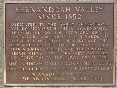
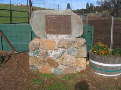
Shenandoah Valley
Since 1852
Erected 1979 by Shenandoah Valley Community Club - Amador County Board of Supervisers in Amador County.
Topics. This historical marker is listed in these topic lists: Agriculture • Education • Industry & Commerce • Settlements & Settlers. A significant historical year for this entry is 1852.
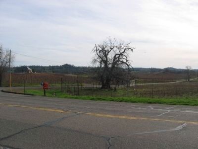
Location. 38° 31.855′ N, 120° 48.21′ W. Marker is near Plymouth, California, in Amador County. Marker is at the intersection of Plymouth Shenandoah Road and Shenandoah School Road, on the left when traveling east on Plymouth Shenandoah Road. Touch for map. Marker is in this post office area: Plymouth CA 95669, United States of America. Touch for directions.
Other nearby markers. At least 8 other markers are within 5 miles of this marker, measured as the crow flies. Shenandoah School (approx. 0.6 miles away); D'Agostini Winery (approx. 2.6 miles away); Chew Kee Store (approx. 3 miles away); Fiddletown (approx. 3 miles away); H. C. Farnham House 1855 (approx. 3 miles away); Fiddletown-Oleta (approx. 3.1 miles away); City of Plymouth (approx. 4.2 miles away); Memorial Entrance (approx. 4.2 miles away). Touch for a list and map of all markers in Plymouth.
Additional commentary.
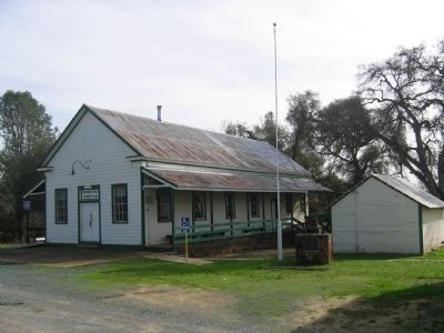
1. Shenandoah School
See also the Shenandoah School Marker (link in Other nearby markers section or click on the Shenandoah School picture below).
— Submitted August 19, 2008, by Syd Whittle of Mesa, Arizona.
2. Shenandoah Valley
The area was named by settlers who had come from the Shenandoah Valley in Virginia. The valley is approximately seven square miles and lies between the forks of the Consumnes River and Big Indian Creek.
In the late 1840’s and early 1850’s, thousands of immigrants came to the west to search for gold. Forty Niners came by sailing ships into San Francisco and by wagon train across the Great Plains, Rockies, and Sierras to find their fortunes in the foothills of California. Amador County has ranked among the richest areas of placer, hydraulic and quartz mining of gold. In the nearby town of Plymouth, major mines produced millions of dollars worth of gold and imported Chinese labor dug ditches across Shenandoah Valley to provide water for hydraulic mining.
Not all Forty Niners found their fortunes in gold. Some were wise enough to know that a steadier income could be made by growing the food needed by the miners. Wheat to be milled into flour, oats for the livestock, and fruits and vegetables were grown in the valley. At one time over one hundred vineyards were located here.
— Submitted May 17, 2009, by Syd Whittle of Mesa, Arizona.
Credits. This page was last revised on June 16, 2016. It was originally submitted on August 18, 2008, by Syd Whittle of Mesa, Arizona. This page has been viewed 2,159 times since then and 32 times this year. Last updated on August 23, 2008, by Syd Whittle of Mesa, Arizona. Photos: 1, 2. submitted on August 18, 2008, by Syd Whittle of Mesa, Arizona. 3. submitted on December 4, 2008, by Syd Whittle of Mesa, Arizona. 4. submitted on August 19, 2008, by Syd Whittle of Mesa, Arizona. • Kevin W. was the editor who published this page.


