Sault Ste. Marie in Algoma District, Ontario — Central Canada (North America)
The First Sault Ste. Marie Canal
Le Premier Canal de Sault Ste-Marie
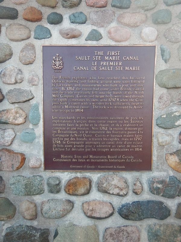
The French explorers who first reached this favoured Ojibway hunting and fishing ground were soon followed by fur traders and missionaries who built a post and mission. By 1762 the region had come under British control and the trade eventually fell into the hands of the North West Company. Canoes and larger boats were towed through the rapids, sometimes by oxen, until 1797-8 when the Company built a canal with a wooden lock sufficiently large to admit a Montreal canoe. The lock was destroyed by American troops in 1814.
Erected by Historic Sites and Monuments Board of Canada.
Topics and series. This historical marker is listed in these topic lists: Exploration • Settlements & Settlers • War of 1812 • Waterways & Vessels. In addition, it is included in the Canada, Historic Sites and Monuments Board series list. A significant historical year for this entry is 1762.
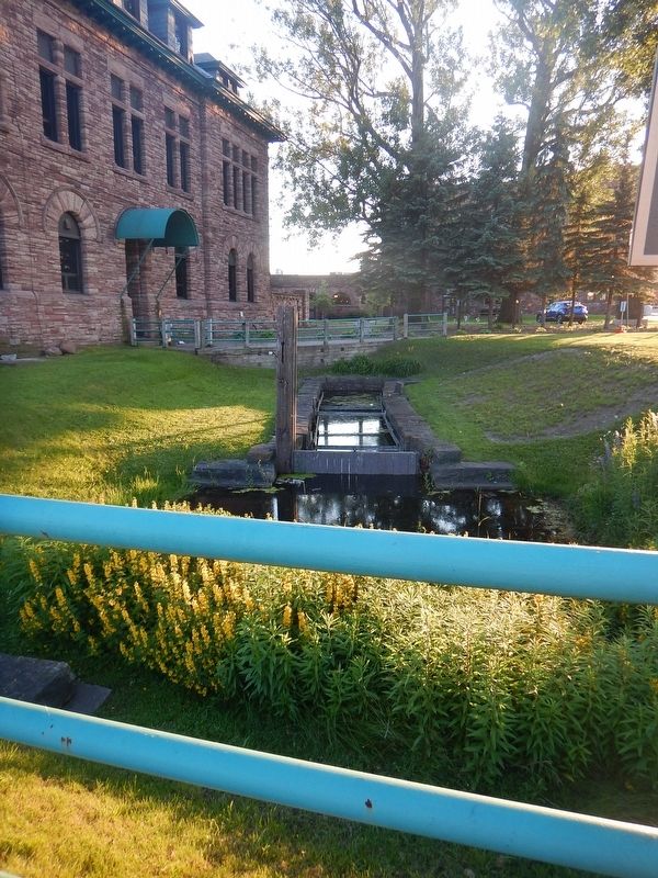
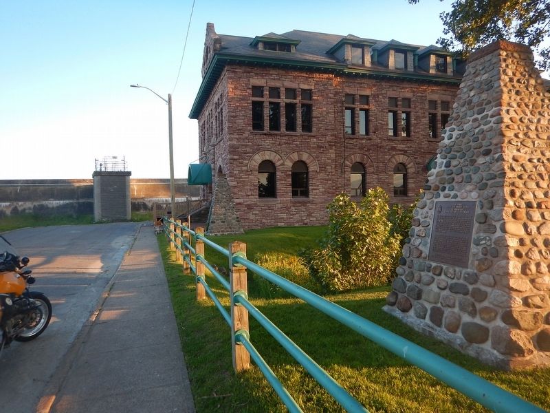
Location. 46° 30.946′ N, 84° 20.916′ W. Marker is in Sault Ste. Marie, Ontario, in Algoma District. Marker is on Huron Street, 0.1 kilometers south of Canal Drive, on the right when traveling south. Marker is beside the remains of the first canal at the south end of Huron Street. Touch for map. Marker is at or near this postal address: 75 Huron Street, Sault Ste Marie ON P6A 5P4, Canada. Touch for directions.
Other nearby markers. At least 8 other markers are within walking distance of this marker. Francis Hector Clergue (about 150 meters away, measured in a direct line); The North West Company Post (approx. 0.2 kilometers away); Sault Ste. Marie Ship Canal (approx. 0.3 kilometers away); The "Chicora" Incident (approx. half a kilometer away); Why Preserve This Big Hunk of Steel? / Pourquoi préserver cette énorme structure d'acier? (approx. 0.7 kilometers away); What a Rush! / Urgence! (approx. 0.7 kilometers away); The Last Emergency Swing Dam in the World! / Le dernier barrage tournant de secours au monde! (approx. 0.7 kilometers away); Emergency Swing Bridge Dam / Barrage tournant de secours (approx. 0.8 kilometers away). Touch for a list and map of all markers in Sault Ste. Marie.

Photographed By Kevin Craft, July 4, 2017
3. The First Sault Ste. Marie Canal
This is a restoration of the first Bateau Lock 38 feet long 9 feet wide built by the North West Company in 1798. It was part of the first canal between Lake Huron and Lake Superior. A tow path extended from this lock west along the canal bank to the upper St. Mary's River.
Credits. This page was last revised on August 9, 2017. It was originally submitted on August 1, 2017, by Kevin Craft of Bedford, Quebec. This page has been viewed 222 times since then and 13 times this year. Photos: 1, 2, 3. submitted on August 1, 2017, by Kevin Craft of Bedford, Quebec.

