Lookout Mountain in Hamilton County, Tennessee — The American South (East South Central)
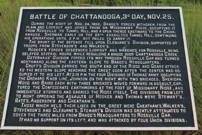
Battle of Chattanooga, 3d Day, Nov. 25
The brunt of the defense fell upon Cleburne's Division, supported by troops from Stevenson's and Walker's.
Hooker's forces descended Lookout and marched for Rossville, being delayed several hours while rebuilding a bridge over Chattanooga Creek.
Osterhaus' Division forced its way through Rossville Gap and turned northward along the eastern slope to Bragg's Headquarters.
Cruft's Division carried the south end of the Ridge and Geary attacked the western slope reaching the crest soon after the center had occupied it to his left. At 3:15 P.M. the four Divisions of Thomas' Army occupying the Orchard Knob line, Johnson on the right with two brigades, Sheridan, Wood and Baird each with three brigades moved forward in assault, captured the Confederate earthworks at the foot of Missionary Ridge, and immediately stormed and carried the Ridge itself. The divisions from left to right opposing the assaults of Hooker and Thomas were Stewart's, Bate's, Anderson's and Cheatham's.
Those which held their lines on the crest were Cheatham's, Walker's, Stevenson's and Cleburne's. Stewart's Division was greatly attenuated to cover the three miles from Bragg's Headquarters to Rossville Gap.
It had no support on its left, and was attacked by four Union divisions.
Erected 1890 by the Chickamauga and Chattanooga National Military Park Commission. (Marker Number MT-3A.)
Topics. This historical marker is listed in this topic list: War, US Civil. A significant historical date for this entry is November 25, 1863.
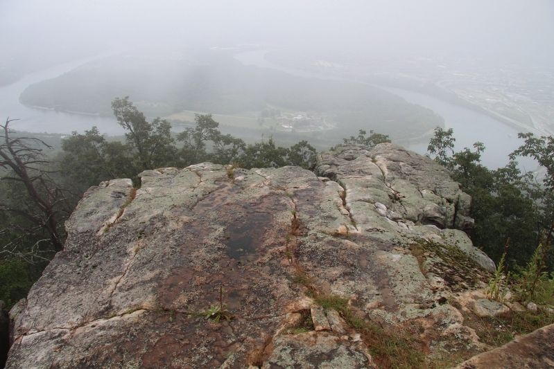
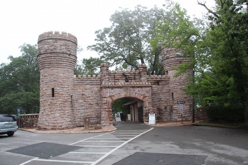
Location. Marker is missing. It was located near 35° 0.759′ N, 85° 20.625′ W. Marker was in Lookout Mountain, Tennessee, in Hamilton County. Marker could be reached from Point Park Road north of East Brow Road, on the right when traveling west. This tablet was once located in Point Park, atop Lookout Mountain, just beyond the Ochs Museum and the museum observation deck, on the rock surface that makes up "The Point" of Lookout Mountain. Touch for map. Marker was in this post office area: Lookout Mountain TN 37350, United States of America. Touch for directions.
Other nearby markers. At least 8 other markers are within walking distance of this location. Battle Above the Clouds (here, next to this marker); 29th Pennsylvania Infantry (here, next to this marker); Tennessee River and Moccasin Bend (here, next to this marker); Chattanooga and Missionary Ridge
(a few steps from this marker); Cobham's Brigade (a few steps from this marker); Lookout Valley and Browns Ferry (a few steps from this marker); Battle of Missionary Ridge (a few steps from this marker); Point Hotel (a few steps from this marker). Touch for a list and map of all markers in Lookout Mountain.
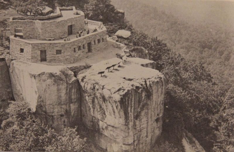
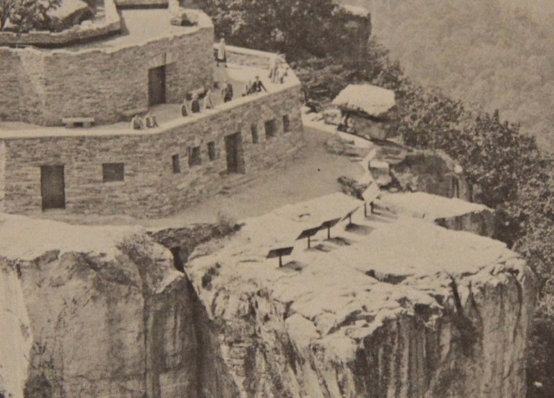
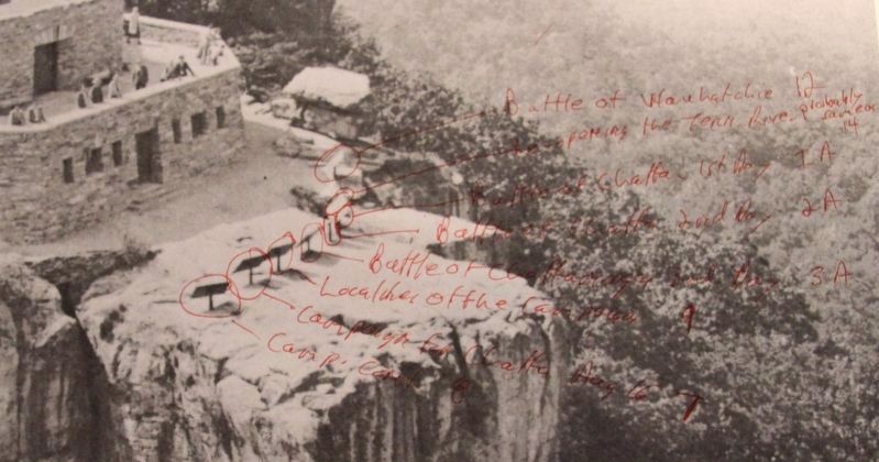
More about this marker. When standing on the Ochs Museum observation deck, and looking at the rock surface of "The Point" of Lookout Mountain, that the museum is situated upon, there used to be eight tablets located across the rock surface of "The Point." When looking left to right, this tablet was the fifth of the eight tablets that were situated there.
Photographed By Dale K. Benington, July 27, 2017
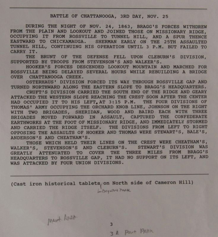
8. The text from the Battle of Chattanooga, 3d Day, Nov. 25 Marker
View of page 3A from the National Park Service’s record book on the Chattanooga - Chickamauga ”MT-numbered” listings of classified structures, which is kept in the Chickamauga Battlefield Park's Visitor Center.
Credits. This page was last revised on July 11, 2019. It was originally submitted on August 1, 2017, by Dale K. Benington of Toledo, Ohio. This page has been viewed 444 times since then and 29 times this year. Photos: 1, 2, 3, 4, 5, 6, 7, 8. submitted on August 1, 2017, by Dale K. Benington of Toledo, Ohio.

