
The Forks in Winnipeg, Manitoba — Canada’s Prairie Region (North America)
Forks of the Red and Assiniboine
Fourche de la Rouge et de L'Assiniboine
Photographed by Kevin Craft, July 9, 2017
1. Forks of the Red and Assiniboine Marker

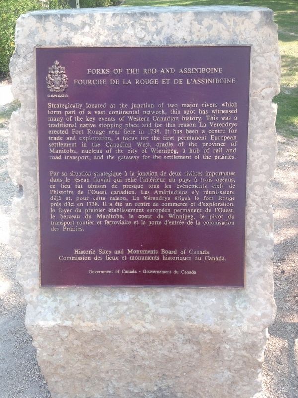
Strategically located at the junction of two major rivers which form part of a vast continental network, this spot has witnessed many of the key events of Western Canadian history. This was a traditional native stopping place and for this reason La Verendrye erected Fort Rouge near here in 1738. It is been a center for trade and exploration, a focus for the first permanent European settlement in the Canadian West, cradle of the province of Manitoba, nucleus of the city of Winnipeg, a hub of rail and road transport, and the gateway for the settlement of the prairies.
this page online
Erected by Historic Sites and Monuments Board of Canada.
Topics and series. This historical marker is listed in these topic lists: Settlements & Settlers • Waterways & Vessels. In addition, it is included in the Canada, Historic Sites and Monuments Board series list.
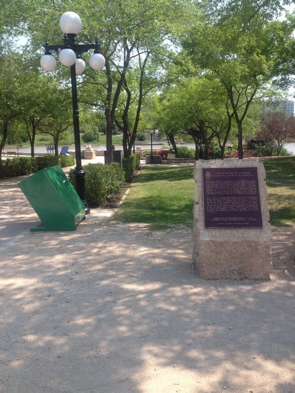
Location. 49° 53.345′ N, 97° 7.686′ W. Marker is in Winnipeg, Manitoba. It is in The Forks. It can be reached from Israel Asper Way. Marker is located on a walking path between Israel Asper Way and The Forks National Historic Amphitheatre. Touch for map. Marker is in this post office area: Winnipeg MB R3C 4Y3, Canada. Touch for directions.

Regionally, this marker is in Manitoba’s Historic Winnipeg. It is also in the Prairies. Globally, it is in North America, the Western Hemisphere, the Western World, and the Anglosphere. Historically, it finds itself in what was once a British colony, the Viceroyalty of New France, and Rupert’s Land.
Other nearby markers. At least 8 other markers are within walking distance of this marker: The Creation of Manitoba
Photographed by Kevin Craft, July 9, 2017
2. Wideview of Forks of the Red and Assiniboine Marker
Credits. This page was last revised on July 10, 2023. It was originally submitted on August 2, 2017, by Kevin Craft of Bedford, Quebec. This page has been viewed 376 times since then and 18 times this year. Photos: 1, 2. submitted on August 2, 2017, by Kevin Craft of Bedford, Quebec.
