Near Many in Sabine Parish, Louisiana — The American South (West South Central)
The History of Toledo Bend
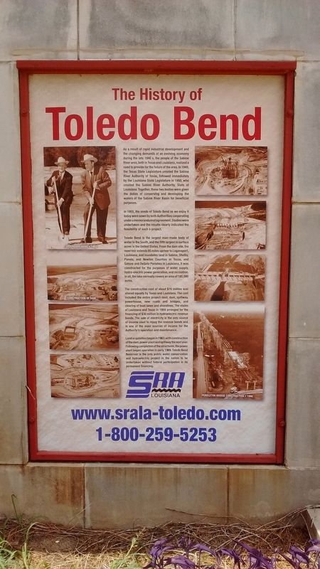
As a result of rapid industrial development and the changing demands of an evolving economy during the late 1940s, the people of the Sabine River area, both in Texas and Louisiana, realized a need to provide for the future of the area. In 1949, the Texas State Legislature created the Sabine River Authority of Texas, followed immediately by the Louisiana State Legislature in 1905, who created the Sabine River Authority, State of Louisiana. Together, these two bodies were given the duties of conserving and developing the waters of the Sabine River Basin for beneficial purposes.
In 1955, the seeds of Toledo Bend as we enjoy it today were sown by both Authorities cooperating under a memorandum of agreement. Studies were undertaken and the results clearly indicated the feasibility of such a project.
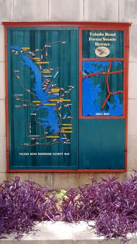
Toledo Bend is the largest man-made body of water in the South, and the fifth largest in the surface acres in the United States. From the dam site, the reservoir extends 65 miles upriver to Logansport, Louisiana, and inundates land in Sabine, Shelby, Panola and DeSoto Parishes in Louisiana. It was constructed for the purposes of water supply, hydro-electric power generation, and recreation. In all, the lake normally covers an area of 185,000 acres.
The construction cost of about $70 million was shared equally by Texas and Louisiana. The cost included the entire project-land, dam, spillway, powerhouse, new roads and bridges, and clearing of boat lanes and shorelines. The states of Louisiana and Texas in 1959 arranged for the financing of $30 million in hydroelectric revenue bonds. The sale of electricity is the only source of income used to repay the revenue bonds and is one of the main sources of income for the Authority’s operation and maintenance.
Land acquisition began in 1963, with construction of the dam, power plant and spillway the next year. Following completion of the structures, the power plant began operation in early 1969. Toledo Bend Reservoir is the only public water conservation and hydroelectric project in the nation to be undertaken without federal participation in its permanent financing.
Erected by Sabine River Authority.
Topics. This historical marker is listed in these topic lists: Industry & Commerce • Waterways & Vessels. A significant historical year for this entry is 1949.
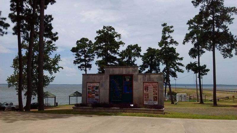
Location. 31° 29.298′ N, 93° 42.478′ W. Marker is near Many, Louisiana, in Sabine Parish. Marker is on Texas Highway (State Highway 6) 0.2 miles west of Bridgebay Drive, on the left when traveling west. Touch for map. Marker is at or near this postal address: 15091 Texas Hwy, Many LA 71449, United States of America. Touch for directions.
Other nearby markers. At least 8 other markers are within 4 miles of this marker, measured as the crow flies. Pendleton Crossing (about 600 feet away, measured in a direct line); El Camino Real (about 600 feet away); Gaines Memorial Bridge (approx. 3.3 miles away in Texas); Site of Historic Crossing on the Sabine River (approx. 3.3 miles away in Texas); Site of Sabine River Crossing (approx. 3.3 miles away in Texas); Texas Louisiana Boundary (approx. 3.3 miles away in Texas); Servicemen who were Killed in Action (approx. 3.4 miles away); M60 Main Battle Tank (approx. 3.4 miles away). Touch for a list and map of all markers in Many.
Also see . . . Toledo Bend Reservoir. (Submitted on August 3, 2017, by Tom Bosse of Jefferson City, Tennessee.)
Credits. This page was last revised on January 15, 2023. It was originally submitted on August 3, 2017, by Tom Bosse of Jefferson City, Tennessee. This page has been viewed 623 times since then and 73 times this year. Photos: 1, 2, 3, 4. submitted on August 3, 2017, by Tom Bosse of Jefferson City, Tennessee. • Bernard Fisher was the editor who published this page.


