Township of Golding in Thunder Bay District, Ontario — Central Canada (North America)
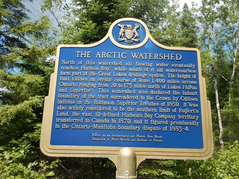
The Arctic Watershed
North of this watershed all flowing water eventually reaches Hudson Bay, while south of it all watercourses form part of the Great Lakes drainage system. The height of land follows an erratic course of some 1,400 miles across Ontario, ranging from 20 to 175 miles north of Lakes Huron and Superior. This watershed was declared the inland boundary of the tract surrendered to the Crown by Ojibwa Indians in the Robinson Superior Treaties of 1850. It was also widely considered to be the southern limit of Rupert's Land, the vast, ill-defined Hudson's Bay Company territory transferred to Canada in 1870, and it figured prominently in the Ontario-Manitoba boundary dispute of 1883-4.
Erected by Archaeological and Historic Sites Board of Ontario.
Topics. This historical marker is listed in these topic lists: Natural Features • Waterways & Vessels.
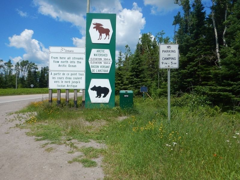
Location. 48° 49.099′ N, 89° 55.177′ W. Marker is in Township of Golding, Ontario, in Thunder Bay District. Marker is on Trans-Canada Highway (Provincial Highway 17) 25 kilometers north of Provincial Highway 11, on the right when traveling north. Touch for map. Marker is in this post office area: Township of Golding ON P0T 2N0, Canada. Touch for directions.
Other nearby markers. At least 2 other markers are within 13 kilometers of this marker, measured as the crow flies. The First Trans-Canada Route (approx. 12.3 kilometers away); Sir Sandford Fleming 1827-1915 (approx. 12.3 kilometers away).
Credits. This page was last revised on August 12, 2018. It was originally submitted on August 4, 2017, by Kevin Craft of Bedford, Quebec. This page has been viewed 669 times since then and 54 times this year. Photos: 1, 2. submitted on August 4, 2017, by Kevin Craft of Bedford, Quebec.

