Near Bar Harbor in Hancock County, Maine — The American Northeast (New England)
Granite Foundations
Acadia National Park
Photographed by Bill Coughlin, July 12, 2017
1. Granite Foundations Marker
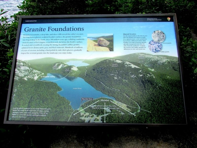
Rounded mountains, a deep lake, and sheer cliffs reveal this valley’s icy past. But long before glaciers sculpted Acadia’s surface, the granite foundation was forged deep in the Earth. Over 500 million years ago, colliding continents created a mass of hot magma, or molten rock, far below the Earth’s surface. It cooled and crystallized, creating the strong, beautiful Cadillac granite, admired for its distinctive pink, gray, and black minerals. Hundreds of millions of years of erosion, including a final polish by mile-thick glaciers, gradually shaped the resistant granite into the landscape you enjoy today.
Glacial Erratics
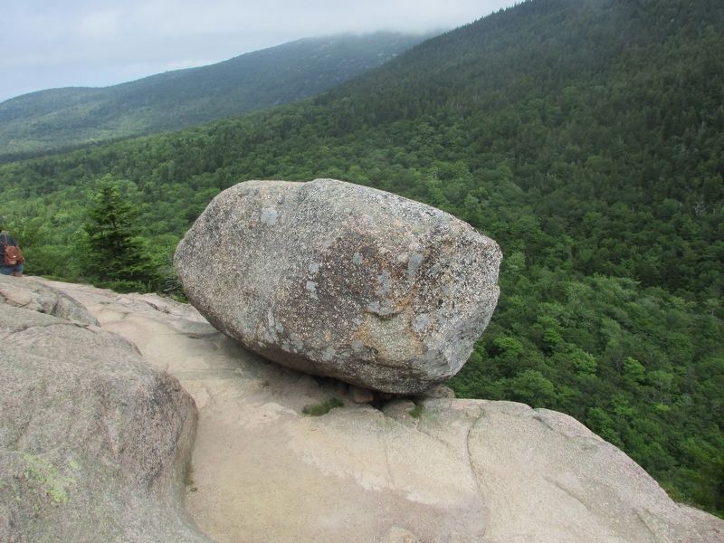
See the large boulder in the lake to your left? Like Bubble Rock (photo at left), it is a glacial erratic: a rock carried here by ice from a different location. Both boulders are made of Lucerne granite, glacially transported more than 30 miles from the northwest. Compare the Lucerne and Cadillac granites for differences in color and crystal size.
Moraine
As the glaciers melted, they left a mound of rock, gravel, and sand here.
Look for glacial evidence as you travel about the park. Notice the north-south alignments
this page online
Erected by National Park Service.
Topics. This historical marker is listed in this topic list: Natural Features.
Location. 44° 19.483′ N, 68° 15.012′ W. Marker is near Bar Harbor, Maine, in Hancock County. It can be reached from Park Loop Road. Marker is in Acadia National Park, on a walking trail beside Jordan Pond. Touch for map. Marker is in this post office area: Bar Harbor ME 04609, United States of America. Touch for directions.

Regionally, this marker is on Mount Desert Island and in Downeast Maine. It is also in the American Northeast, in New England, and on the Eastern Seaboard. Globally, it is in the North Atlantic Region, North America, the Great North Woods, the Western Hemisphere, the Western World, and the Anglosphere. Historically, it finds itself in what was once the Viceroyalty of New France and also Acadia.
Other nearby markers. At least 8 other markers are within 2 miles of this marker, measured as the
Photographed by Bill Coughlin, July 12, 2017
2. Granite Foundations Marker
Another marker is no longer nearby. Carriage Roads - Building the Roads (was approx. 1.9 miles away but has been confirmed missing).
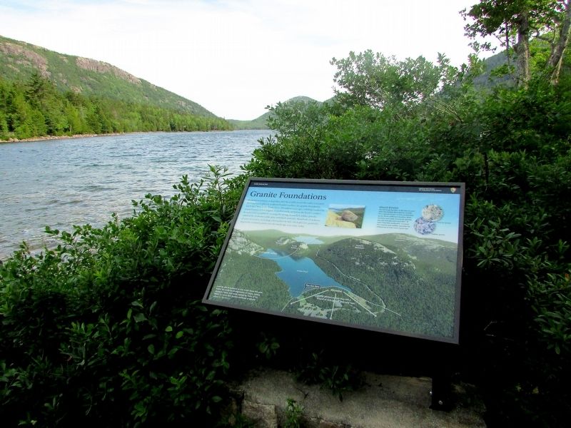
More about this marker. The background of the marker contains a photo of the area where the marker is located. Along with the location of the marker, various landmarks are identified, including Jordan Pond, U-shaped valley, Penobscot Mountain, North and South Bubbles, Pemetic Mountain, and Cadillac Mountain.
Photographed by Bill Coughlin, July 12, 2017
3. Marker in Acadia National Park
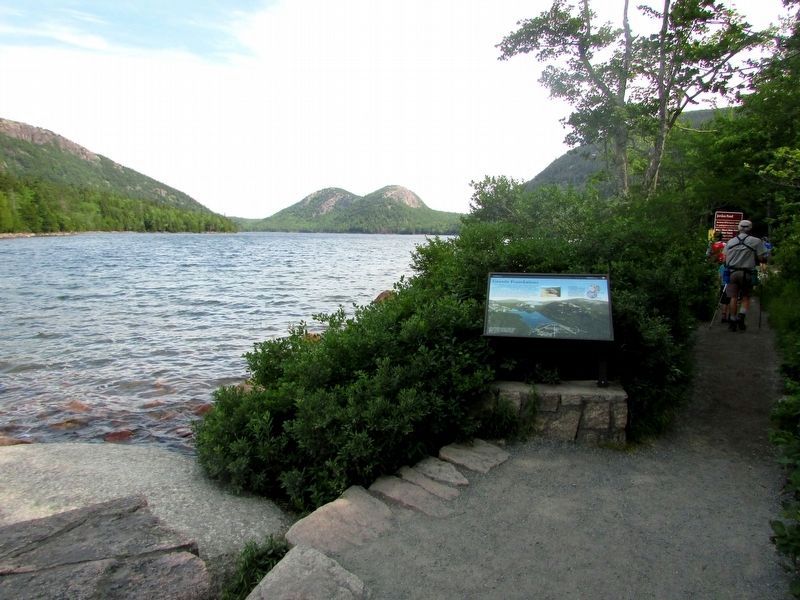
The Bubbles can be seen on the far side of Jordan Pond.
Photographed by Bill Coughlin, July 12, 2017
4. Bubble Rock
This boulder is an example of a glacial erratic that is mentioned on the marker.
Credits. This page was last revised on August 4, 2017. It was originally submitted on August 4, 2017, by Bill Coughlin of Woodland Park, New Jersey. This page has been viewed 542 times since then and 34 times this year. Photos: 1, 2, 3, 4. submitted on August 4, 2017, by Bill Coughlin of Woodland Park, New Jersey.
