Near Seal Harbor in Hancock County, Maine — The American Northeast (New England)
Cobbling the Cove
Acadia National Park
Photographed by Bill Coughlin, July 11, 2017
1. Cobbling the Cove Marker
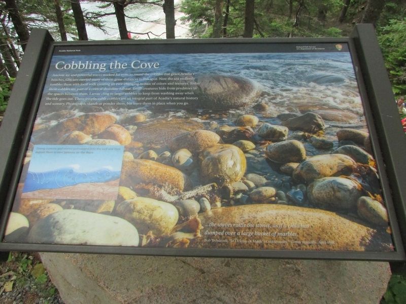
Ancient ice and powerful waves worked for eons to round the cobbles that grace Acadia’s beaches. Glaciers carried many of them great distances to this spot. Now the sea endlessly tumbles them with local rock creating an ever-changing mosaic of colors and textures. Today these cobbles are part of a critical shoreline habitat. Small creatures hide from predators in the spaces between them. Larvae cling to larger cobbles to keep from washing away when the tide goes out. These irreplaceable cobbles are an integral part of Acadia’s natural history and scenery. Photograph, sketch or ponder them, but leave them in place when you go.
“ . . . the waves rattle the stones, as if a child has
dumped over a large bucket of marbles,”
Bob Trebilcock, “In Defense of Maine’s Cobblestones.” Yankee magazine, April 1988
Erected by National Park Service.
Topics. This historical marker is listed in this topic list: Natural Features.
Location. 44° 17.915′ N, 68° 12.68′ W. Marker is near Seal Harbor, Maine, in Hancock County. It is on Park Loop Road, on the left when
this page online

Regionally, this marker is on Mount Desert Island and in Downeast Maine. It is also in the American Northeast, in New England, and on the Eastern Seaboard. Globally, it is in the North Atlantic Region, North America, the Great North Woods, the Western Hemisphere, the Western World, and the Anglosphere. Historically, it finds itself in what was once the Viceroyalty of New France and also Acadia.
Other nearby markers. At least 8 other markers are within 2 miles of this marker, measured as the crow flies: Once a Busy Waterfront (approx. 1.3 miles away); Alessandro Fabbri, Lieutenant, U.S.N.R.F. (approx. 1.3 miles away); “Hot Line” to Europe (approx. 1.3 miles away); A Village Legacy (approx. 1½ miles away); Thunder Hole (approx. 1.8 miles away); Thunder Hole Ranger Station (approx. 1.9 miles away); Sounds of the Sea (approx. 1.9 miles away); Icy Depths (approx. 1.9 miles away).
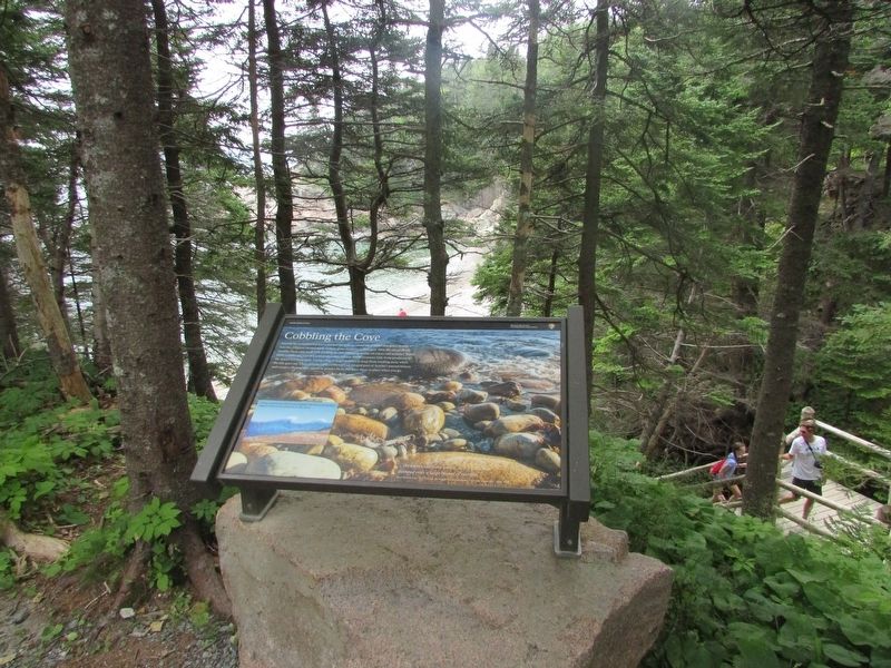
More about this marker. The background of the marker contains a photo of cobbles on the beach, and has a
Photographed by Bill Coughlin, July 11, 2017
2. Cobbling the Cove Marker
A diagram at the lower left of the marker shows how the cobble beaches are created. It has a caption of “Strong currents and storms pull cobbles into the surf and then deposit them in new patterns on the shore.”
Photographed by Bill Coughlin, July 11, 2017
3. Marker in Acadia National Park
Photographed by Bill Coughlin, July 11, 2017
4. Cobble Beach
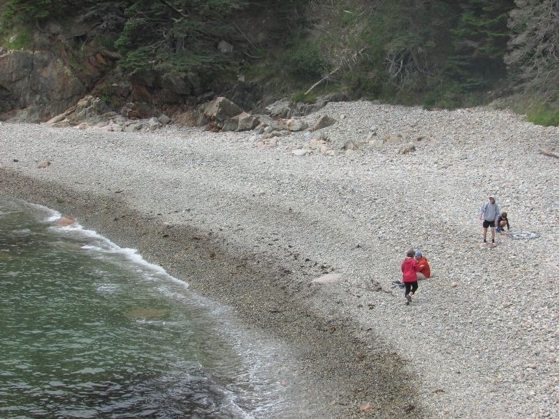
This cobble covered beach is accessible from a stairway near the marker.
Credits. This page was last revised on August 4, 2017. It was originally submitted on August 4, 2017, by Bill Coughlin of Woodland Park, New Jersey. This page has been viewed 669 times since then and 19 times this year. Photos: 1, 2, 3, 4. submitted on August 4, 2017, by Bill Coughlin of Woodland Park, New Jersey.
