Near Bar Harbor in Hancock County, Maine — The American Northeast (New England)
Unusual Pocket Beach
Acadia National Park
Photographed by Bill Coughlin, July 11, 2017
1. Unusual Pocket Beach Marker
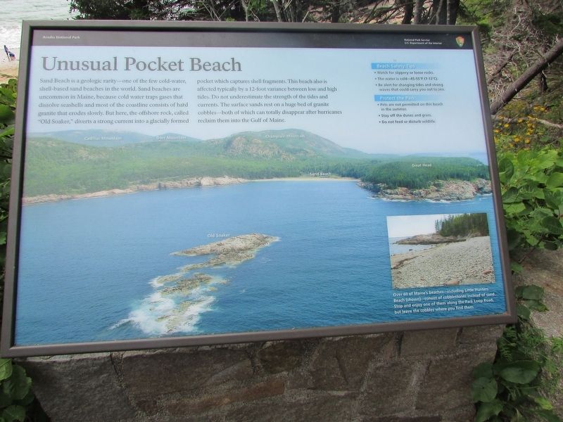
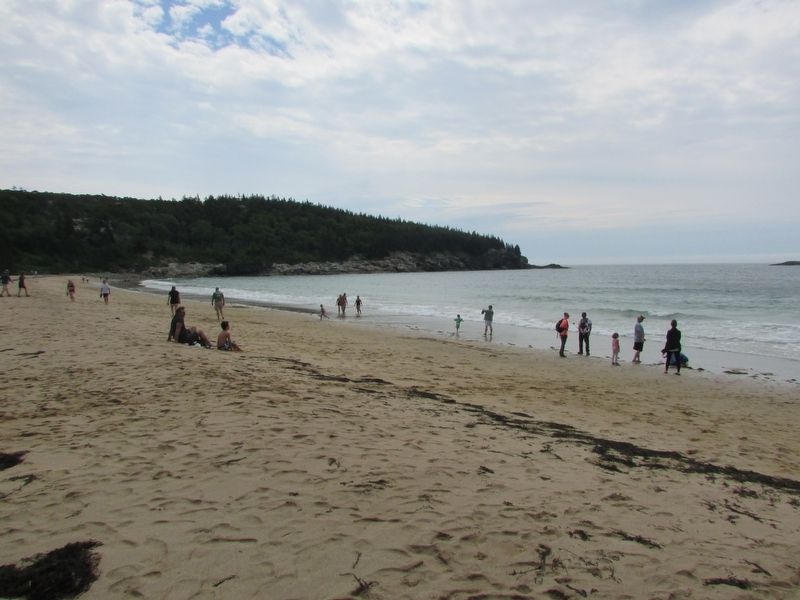
Sand Beach is a geologic rarity – one of the few cold-water, shell-based sand beaches in the world. Sand beaches are uncommon in Maine, because cold water traps gases that dissolve seashells and most of the coastline consists of hard granite that erodes slowly. But here, the offshore rock, called “Old Soaker,” diverts a strong current into a glacially formed pocket which captures shell fragments. This beach also is affected typically by a 12-foot variance between low and high tides. Do not underestimate the strength of the tides and currents. The surface sands rest on a huge bed of granite cobbles – both of which can totally disappear after hurricanes reclaim them into the Gulf of Maine.
Beach Safety Tips
• Watch for slippery or loose rocks.
• The water is cold – 45-55°F (7-13°C).
• Be alert for changing tides and strong waves that could carry you out to sea.
Protect the Park
• Pets are not permitted on this beach in the summer.
• Stay off the dunes and grass.
• Do not feed or disturb wildlife.
Erected by National Park Service, U.S. Department of the Interior.
Topics. This historical marker is listed in this topic
this page online
Location. 44° 19.762′ N, 68° 11.023′ W. Marker is near Bar Harbor, Maine, in Hancock County. It can be reached from Park Loop Road, on the left when traveling south. Marker is near a stairway leading down to Sand Beach. Touch for map. Marker is in this post office area: Bar Harbor ME 04609, United States of America. Touch for directions.

Regionally, this marker is on Mount Desert Island and in Downeast Maine. It is also in the American Northeast, in New England, and on the Eastern Seaboard. Globally, it is in the North Atlantic Region, North America, the Great North Woods, the Western Hemisphere, the Western World, and the Anglosphere. Historically, it finds itself in what was once the Viceroyalty of New France and also Acadia.
Other nearby markers. At least 8 other markers are within walking distance of this marker: Secrets of the Sand (here, next to this marker); Sand Beach (here, next to this marker); Satterlee Field (here, next to this marker); What Do Park Rangers Do? (approx. 0.6 miles away); Icy Depths (approx. 0.6 miles away); Sounds of the Sea
Photographed by Bill Coughlin, July 11, 2017
2. Unusual Pocket Beach Marker
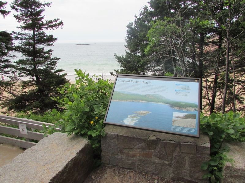
The offshore rock, “Old Soaker,” can be seen in the ocean beyond the marker.
More about this marker. The background of the marker contains an aerial photograph of Sand Beach and the surrounding area.
A photo appears at the lower right of the marker, with the caption “Over 60 of Maine’s beaches – including Little Hunters Beach (shown) – consist of cobblestones instead of sand. Stop and enjoy one of them along the Park Loop Road, but leave the cobbles where you find them.”
Photographed by Bill Coughlin, July 11, 2017
3. Markers in Acadia National Park
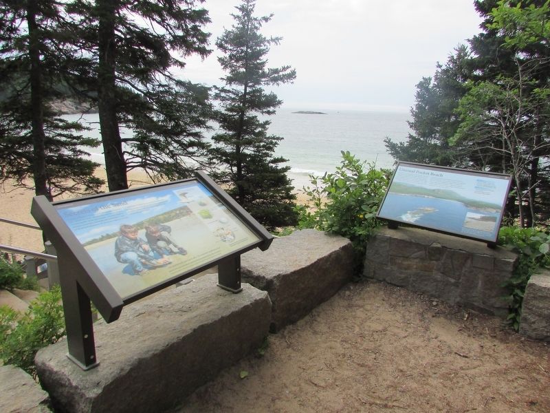
Two markers can be seen at this location. The Unusual Pocket Beach marker is seen here on the right.
Photographed by Bill Coughlin, July 11, 2017
4. Sand Beach
Credits. This page was last revised on October 6, 2022. It was originally submitted on August 5, 2017, by Bill Coughlin of Woodland Park, New Jersey. This page has been viewed 1,148 times since then and 39 times this year. Photos: 1, 2, 3, 4. submitted on August 5, 2017, by Bill Coughlin of Woodland Park, New Jersey.
