Near Bar Harbor in Hancock County, Maine — The American Northeast (New England)
Secrets of the Sand
Acadia National Park
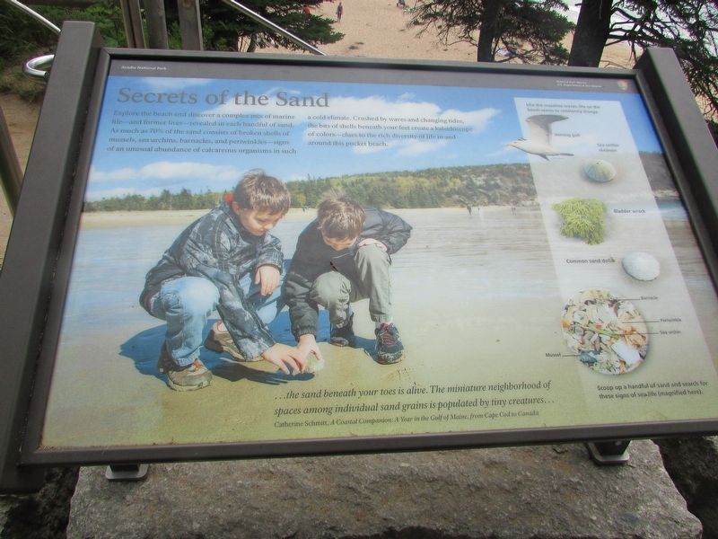
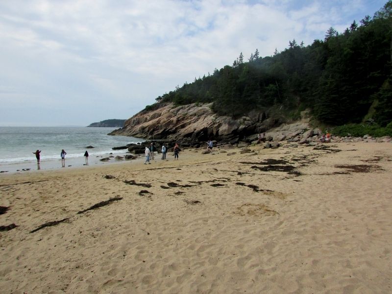
Explore the beach and discover a complex mix of marine life – and former lives – revealed in each handful of sand. As much as 70% of the sand consists of broken shells of mussels, sea urchins, barnacles, and periwinkles – signs of an unusual abundance of calcareous organisms in such a cold climate. Crushed by waves and changing tides, the bits of shells beneath your feet create a kaleidoscope of colors – clues to the rich diversity of life in and around this pocket beach.
“ . . . the sand beneath your toes is alive. The miniature neighborhood of spaces among individual sand grains is populated by tiny creatures . . . ”
Catherine Schmitt, A Coastal Companion: A Year in the Gulf of Maine, from Cape Cod to Canada
Erected by National Park Service.
Topics. This historical marker is listed in this topic list: Natural Features.
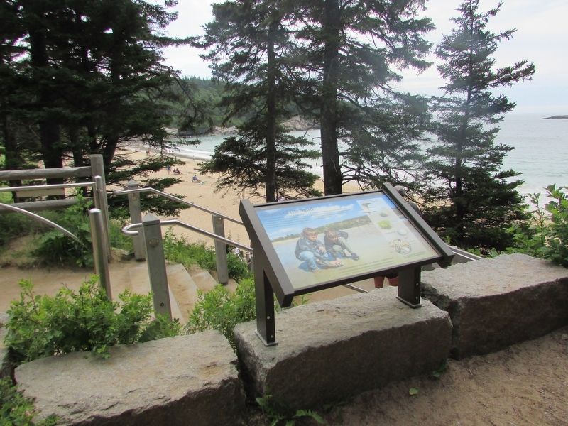
Location. 44° 19.762′ N, 68° 11.023′ W. Marker is near Bar Harbor, Maine, in Hancock County. Marker can be reached from Park Loop Road, on the left when traveling south. Marker is near a stairway leading down to Sand Beach. Touch for map. Marker is in this post office area: Bar Harbor ME 04609, United States of America. Touch for directions.
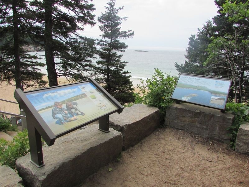
Other nearby markers. At least 8 other markers are within walking distance of this marker. Unusual Pocket Beach (here, next to this marker); Sand Beach (here, next to this marker); Satterlee Field (here, next to this marker); What Do Park Rangers Do? (approx. 0.6 miles away); Icy Depths (approx. 0.6 miles away); Sounds of the Sea (approx. 0.6 miles away); Thunder Hole Ranger Station (approx. 0.6 miles away); Thunder Hole (approx. 0.7 miles away). Touch for a list and map of all markers in Bar Harbor.
Credits. This page was last revised on August 5, 2017. It was originally submitted on August 5, 2017, by Bill Coughlin of Woodland Park, New Jersey. This page has been viewed 184 times since then and 11 times this year. Photos: 1, 2, 3, 4. submitted on August 5, 2017, by Bill Coughlin of Woodland Park, New Jersey.


