
Near Clearfield in Clearfield County, Pennsylvania — The American Northeast (Mid-Atlantic)
Dimeling Bridge
Photographed by Mike Wintermantel, August 4, 2017
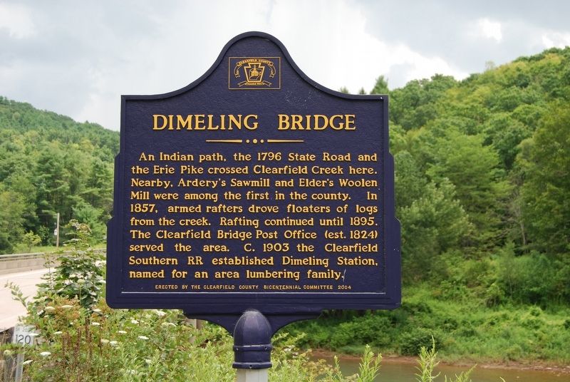
1. Dimeling Bridge Marker
An Indian path, the 1796 State Road and the Erie Pike crossed Clearfield Creek here. Nearby, Ardery's Sawmill and Elder's Woolen Mill were among the first in the county. In 1857, armed rafters drove floaters of logs from the creek. Rafting continued until 1895. The Clearfield Bridge Post Office (est. 1824) served the area. C. 1903 the Clearfield Southern RR established Dimeling Station, named for an area lumbering family.
Topics. This historical marker is listed in these topic lists: Bridges & Viaducts • Industry & Commerce • Railroads & Streetcars • Waterways & Vessels. A significant historical year for this entry is 1796.
Location. 40° 58.284′ N, 78° 24.425′ W. Marker is near Clearfield, Pennsylvania, in Clearfield County. It is at the intersection of Old Erie Pike and Diamond Lane, on the right when traveling east on Old Erie Pike. Touch for map. Marker is in this post office area: Clearfield PA 16830, United States of America. Touch for directions.

Regionally, this marker is in the Pennsylvania Wilds. It is also in the American Northeast, in the Mid-Atlantic, in Appalachia, and specifically in Northern
this page online
Other nearby markers. At least 8 other markers are within 4 miles of this marker, measured as the crow flies: Indian Mill (approx. 2.8 miles away); Zenas Leonard (approx. 3.4 miles away); Chinklacamoose (approx. 3.4 miles away); Trout Stocking (approx. 3½ miles away); Daniel Ogden (approx. 3½ miles away); Woodland (approx. 3.6 miles away); Kurtz Field (approx. 3.6 miles away); St. Francis Church Building 100th Anniversary (approx. 3.7 miles away). Touch for a list and map of all markers in Clearfield.
Photographed by Mike Wintermantel, August 4, 2017
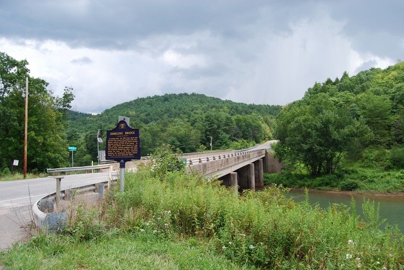
2. Dimeling Bridge Marker
Credits. This page was last revised on April 19, 2022. It was originally submitted on August 5, 2017, by Mike Wintermantel of Pittsburgh, Pennsylvania. This page has been viewed 1,503 times since then and 152 times this year. Photos: 1, 2. submitted on August 5, 2017, by Mike Wintermantel of Pittsburgh, Pennsylvania.
