Near Fort Oglethorpe in Catoosa County, Georgia — The American South (South Atlantic)
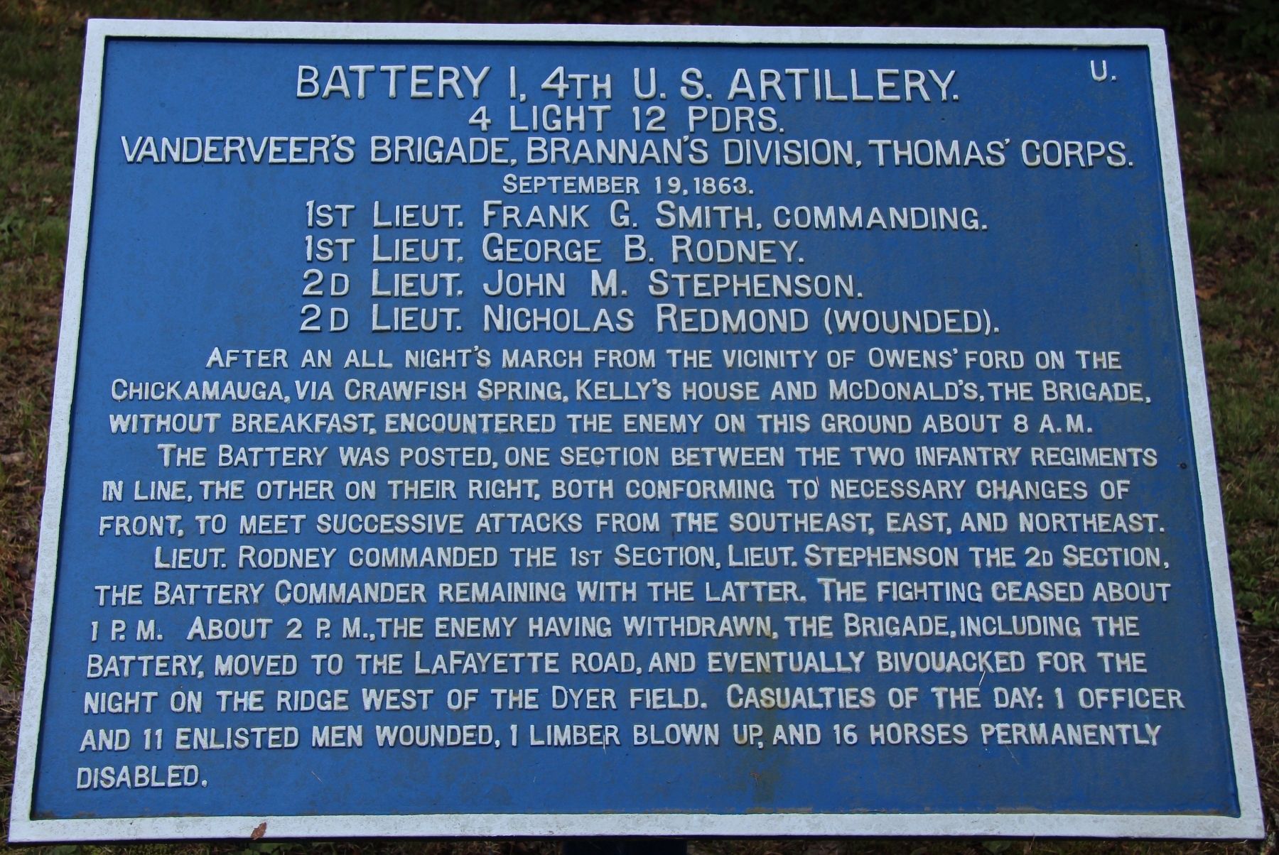
Battery I, 4th U.S. Artillery
VanDerveer's Brigade
— Brannan's Division —
4 Light 12 Pdrs.
Van Derveer's Brigade, Brannan's Division, Thomas' Corps.
September 19, 1863
1st Lieutenant Frank G. Smith, Commanding.
1st Lieutenant George B. Rodney.
2d Lieutenant John M. Stephenson.
2d Lieutenant Nicholas Redmond (wounded).
After an all night's march from the vicinity of Owen's ford on the Chickamauga, via Crawfish Spring, Kelly's house and McDonald's, the Brigade, without breakfast, encountered the enemy on this ground about 8 a.m.
The Battery was posted, one section between the two infantry regiments in line, the other on their right, both conforming to necessary changes of front, to meet successive attacks from the southeast, east and northeast.
Lieutenant Rodney commanded the 1st Section, Lieutenant Stephenson the 2d Section, the Battery Commander remaining with the latter. The fighting ceased about 1 p.m. About 2 p.m., the enemy having withdrawn, the Brigade, including the Battery, moved to the LaFayette road, and eventually bivouacked for the night on the ridge west of the Dyer field. Casualties of the day: 1 officer and 11 enlisted men wounded, 1 limber blown up, and 16 horses permanently disabled.
Erected 1890 by the Chickamauga and Chattanooga National Military Park Commission. (Marker Number MT-1054A.)
Topics. This historical marker is listed in this topic list: War, US Civil. A significant historical date for this entry is September 19, 1863.
Location. 34° 56.21′ N, 85° 14.369′ W. Marker is near Fort Oglethorpe, Georgia, in Catoosa County. Marker is on Reeds Bridge Road west of Rock Haven Lane, on the left when traveling west. Touch for map. Marker is in this post office area: Fort Oglethorpe GA 30742, United States of America. Touch for directions.
Other nearby markers. At least 8 other markers are within walking distance of this marker. A different marker also named Battery I, 4th U.S. Artillery (within shouting distance of this marker); 2nd Minnesota Infantry (about 400 feet away, measured in a direct line); 87th Indiana Infantry (approx. 0.2 miles away); Battery D, 1st Michigan Light Artillery (approx. 0.2 miles away); Van Derveer's Brigade (approx. 0.2 miles away); a different marker also named Battery I, 4th U.S. Artillery (approx. 0.2 miles away); Brannan's Division (approx. 0.2 miles away); a different marker also named Van Derveer's Brigade (approx. 0.2 miles away). Touch for a list and map of all markers in Fort Oglethorpe.
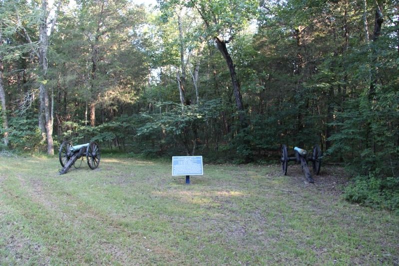
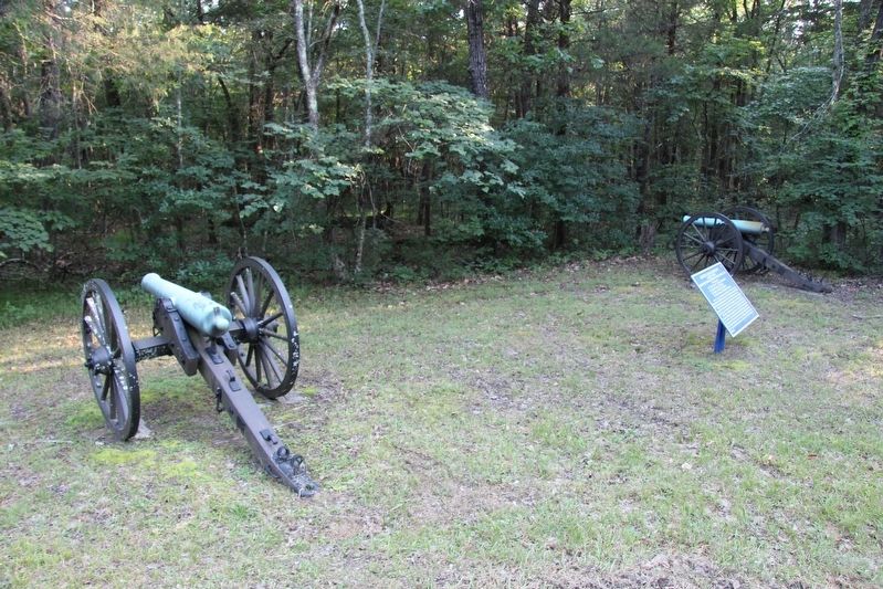
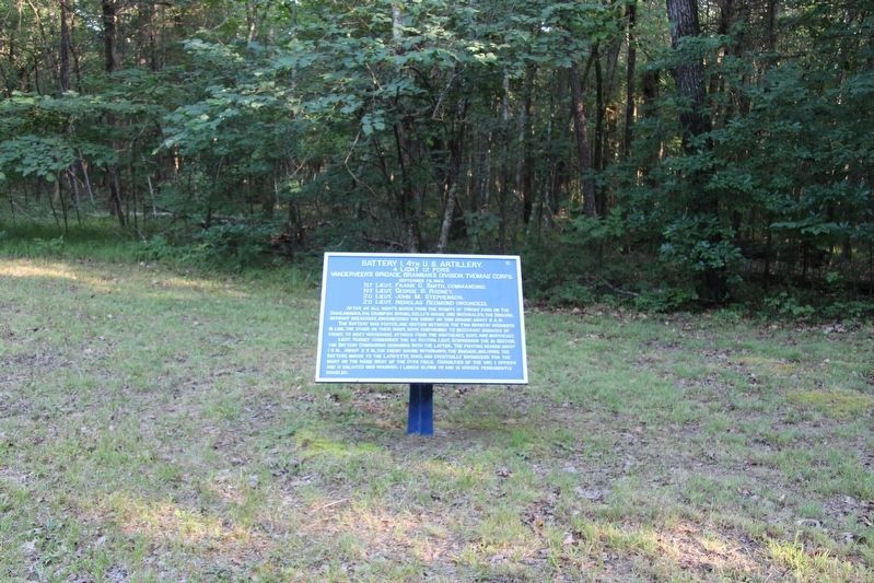
More about this marker. This tablet is located just off of the south side of the roadway, in a clearing, with two cannon.
In locating this tablet I used the "Chickamauga Battlefield" map, that I purchased at the Chickamauga and
Chattanooga National Military Park, Visitor Center, to determine both the marker number for this tablet and the tablet's location in relation to the rest of the park's monuments, markers, and tablets. According to the map it provides the, "numerical listing of all monuments, markers, and tablets on the Chickamauga Battlefield (using the Chick-Chatt NMP Monument Numbering System).”
Credits. This page was last revised on August 7, 2017. It was originally submitted on August 6, 2017, by Dale K. Benington of Toledo, Ohio. This page has been viewed 174 times since then and 6 times this year. Photos: 1, 2, 3, 4, 5. submitted on August 6, 2017, by Dale K. Benington of Toledo, Ohio.


