Near Mahaffey in Clearfield County, Pennsylvania — The American Northeast (Mid-Atlantic)
Last Raft
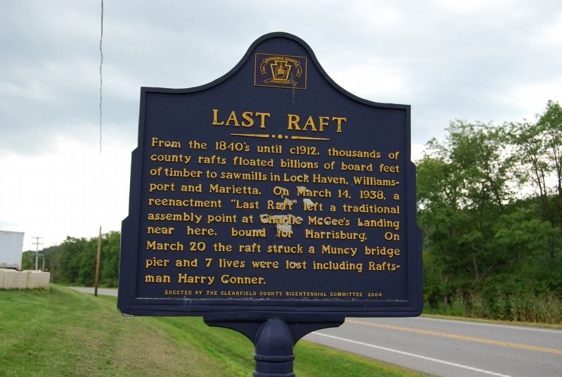
Photographed by Mike Wintermantel, August 4, 2017
1. Last Raft Marker
Erected 2004 by Clearfield County Bicentennial Committee.
Topics and series. This historical marker is listed in these topic lists: Disasters • Industry & Commerce • Waterways & Vessels. In addition, it is included in the Lost at Sea series list. A significant historical date for this entry is March 14, 1938.
Location. 40° 51.194′ N, 78° 46.597′ W. Marker is near Mahaffey, Pennsylvania, in Clearfield County. It is at the intersection of Burnside McGee Highway (U.S. 219) and Fire Tower Road, on the right when traveling south on Burnside McGee Highway. Touch for map. Marker is in this post office area: Mahaffey PA 15757, United States of America. Touch for directions.

Regionally, this marker is in the Pennsylvania Wilds. It is also in
this page online
Other nearby markers. At least 8 other markers are within 9 miles of this marker, measured as the crow flies: McGee's Mills Covered Bridge (approx. 2 miles away); George Atcheson (approx. 3.1 miles away); Melvin L. Brown (approx. 3.2 miles away); Rev. A.W. Tozer (approx. 3.9 miles away); John Ludwig Snyder (approx. 4.1 miles away); Cpl. Warren J. Shepherd (approx. 8 miles away); Millstone (approx. 8.6 miles away); Rossiter Strike Injunction (approx. 8.8 miles away). Touch for a list and map of all markers in Mahaffey.
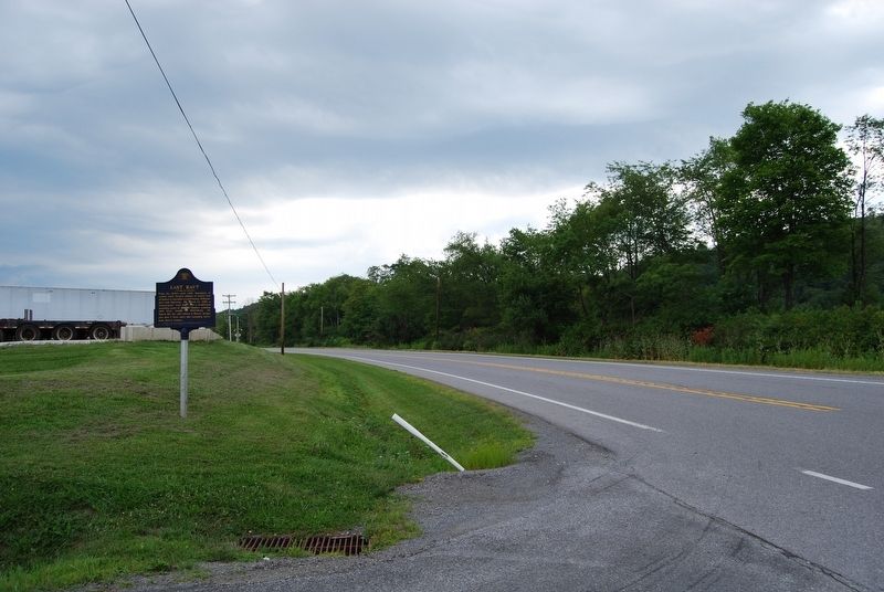
Photographed by Mike Wintermantel, August 4, 2017
2. Last Raft Marker
Credits. This page was last revised on August 7, 2017. It was originally submitted on August 7, 2017, by Mike Wintermantel of Pittsburgh, Pennsylvania. This page has been viewed 1,188 times since then and 48 times this year. Photos: 1, 2. submitted on August 7, 2017, by Mike Wintermantel of Pittsburgh, Pennsylvania.
