Breckenridge in Gratiot County, Michigan — The American Midwest (Great Lakes)
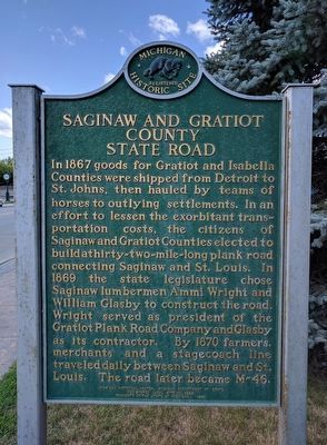
Saginaw and Gratiot County State Road
⎯⎯⎯
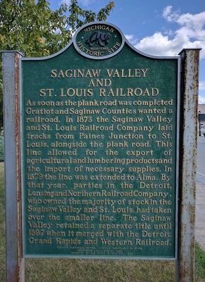
Saginaw Valley and St. Louis Railroad
Photographed by Joel Seewald, August 5, 2017
1. Saginaw and Gratiot County State Road (Side 1)
this page online
Erected 1996 by Michigan Historical Center, Michigan Department of State. (Marker Number L1966.)
Topics and series. This historical marker is listed in these topic lists: Railroads & Streetcars • Roads & Vehicles. In addition, it is included in the Michigan Historical Commission series list. A significant historical year for this entry is 1867.
Location. 43° 24.484′ N, 84° 28.703′ W. Marker is in Breckenridge, Michigan, in Gratiot County. It is on East Saginaw Street (State Highway 46), on the left when traveling east. Marker is between First and Second Streets in Downtown Park. Touch for map. Marker is in this post office area: Breckenridge MI 48615, United States of America. Touch for directions.

Regionally, this marker is in Mid-Michigan. It is also in the American Midwest. Globally, it is in North America, the Western Hemisphere, the Western World,
Photographed by Joel Seewald, August 5, 2017
2. Saginaw Valley and St. Louis Railroad Marker (Side 2)
Other nearby markers. At least 8 other markers are within 10 miles of this marker, measured as the crow flies: Breckenridge World War II Memorial (within shouting distance of this marker); Drake House (approx. 0.2 miles away); Breckenridge Civil War Monument (approx. 0.4 miles away); Joseph Clapp Memorial Park (approx. 6.4 miles away); Sidney S. Hastings (approx. 6.4 miles away); Saint Louis (approx. 6.4 miles away); Michigan Masonic Home (approx. 9½ miles away); Alma College / Old Main Fire (approx. 9.9 miles away). Touch for a list and map of all markers in Breckenridge.
Photographed by Joel Seewald, August 5, 2017
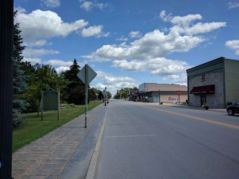
3. Saginaw and Gratiot County State Road / Saginaw Valley and St. Louis Railroad Marker
View looking to the east along East Saginaw Street (M-46). Downtown Park is on the left; Howe Memorial Library is on the right.
Credits. This page was last revised on August 8, 2017. It was originally submitted on August 7, 2017, by Joel Seewald of Madison Heights, Michigan. This page has been viewed 598 times since then and 42 times this year. Photos: 1, 2, 3. submitted on August 7, 2017, by Joel Seewald of Madison Heights, Michigan.
