Fort Myers in Lee County, Florida — The American South (South Atlantic)
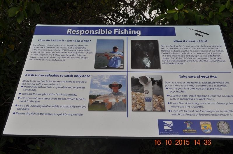
Responsible Fishing
How do I know if I can keep a fish?
Florida has more anglers than any other state. To protect our fisheries the Florida Fish and Wildlife Conservation Commission (FWC) manage game fish using closed seasons, size limits and bag limits. Check all FWC regulations before you keep the fish you catch. You can find the regulations at tackle shops and online at www.myfwc.com
A fish is too valuable to catch only once
Many tools and techniques are available to ensure a fish survives after you release it.
• Handle the fish as little as possible and only with wet hands.
• Support the weight of the fish horizontally.
• Use non-stainless steel circle hooks, which tend to hook in the jaw.
• Use a de-hooking tool to safely and quickly remove the hook.
• Return the fish to the water as quickly as possible.
What if I hook a bird?
Reel the bird in slowly and carefully hold it under your arm.
Cover with a towel to reduce stress to the bird. Holding its beak, cut the line, leaving about 1.5 inches. Do NOT release the bird or remove the hook yourself.
The bird may need a radiograph to find additional hooks. Call 239-472-3644 and keep the bird until it can be transported to the Clinic for the Rehabilitation of Wildlife (CROW).
Take care of your line
Don’t leave your line behind. Discarded fishing line poses a threat to birds, sea turtles and manatees.
• Secure your line until you can place it in a recycling bin.
• Cast with care, avoid snagging your line on objects such as mangroves or utilities lines.
• If your line does snag, cut it at the closest point where the line is caught.
• Lines left behind can be dangerous to wildlife which can ingest or become entangled in it.
Topics. This historical marker is listed in these topic lists: Animals • Environment.
Location. 26° 41.59′ N, 81° 46.666′ W. Marker is in Fort Myers, Florida, in Lee County. Marker is on Palm Beach Boulevard. Marker is located inside park. Touch for map. Marker is in this post office area: Fort Myers FL 33905, United States of America. Touch for directions.
Other nearby markers. At least 8 other markers are within walking distance of this marker. Tracking Manatees (here, next to this marker); Relatives and Relationships (here, next to this marker); Manatee Young (here, next to this marker); Pine Flatwoods Habitat (here, next to this marker); Scrub Oak Habitat (here, next to this marker); Boating with Wildlife (here, next to this marker); Mangroves - Trees of the Sea (here, next to this marker); Munching Manatees (here, next to this marker). Touch for a list and map of all markers in Fort Myers.
Credits. This page was last revised on August 30, 2017. It was originally submitted on August 7, 2017, by Sandra Hughes Tidwell of Killen, Alabama, USA. This page has been viewed 205 times since then and 8 times this year. Photo 1. submitted on August 7, 2017, by Sandra Hughes Tidwell of Killen, Alabama, USA. • Bill Pfingsten was the editor who published this page.
