Soda Springs in Caribou County, Idaho — The American West (Mountains)
Law & Order On The Frontier
Camp Connor
Photographed by Barry Swackhamer, June 22, 2017
1. Law & Order On The Frontier Marker
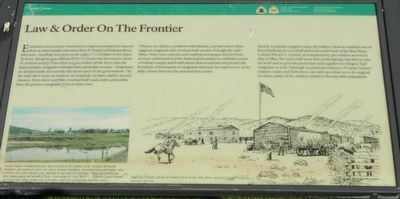
Captions: (bottom left) Camp Connor is believed to have been located in the vicinity of the Caribou Memorial Hospital - just south of where you stand. George Goodhart, mountain man and trapper who settled in the Soda Springs area, has this to say about its location: "They (Morrisites) put their camps above the mouth of Soda Creek along the Bear River ... General Connor moved up on the hill a little further east and built a little fort overlooking his little colony."; (bottom center) Depiction of daily activity at Camp Connor in the early 1860s. (Illustration by Zackery Zdinak).
Thieves, murderers, problems with Indians, and starvation often plagued emigrants and overland carriers through the early 1860s. Numerous outcries and scathing newspaper articles from western settlements led the federal government to establish a series of military camps and fortifications that would aid and protect the hundreds of thousands of emigrants and keep the mail service on its daily course between the east and west coasts.
Already a popular emigrant
this page online
Erected by Department of the Interior, National Park Service.
Topics. This historical marker is listed in these topic lists: Settlements & Settlers • Wars, US Indian. A significant historical month for this entry is May 1863.
Location. 42° 39.207′ N, 111° 36.886′ W. Marker is in Soda Springs, Idaho, in Caribou County. It is on South 3rd Street West near West 3rd Street South, on the right when traveling south. Touch for map. Marker is at or near this postal address: 290 South 3rd Street West, Soda Springs ID 83276, United States of America. Touch for directions.

Regionally, this marker is in Bear River Country. It
Photographed by Barry Swackhamer, June 22, 2017
2. Law & Order On The Frontier Marker
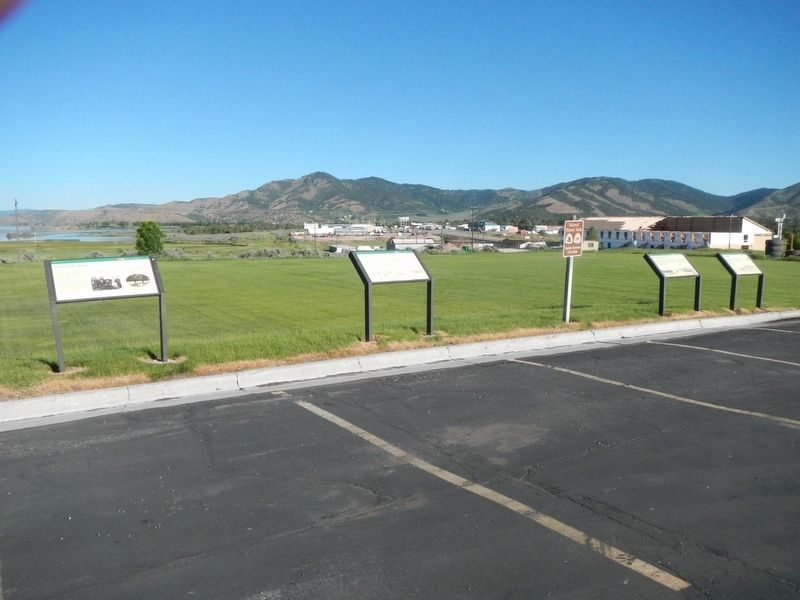
The marker is second from the left.
Other nearby markers. At least 8 other markers are within walking distance of this marker: A New Beginning... (here, next to this marker); Clash Of Cultures (here, next to this marker); First In Soda Springs (a few steps from this marker); Father De Smet Monument (approx. half a mile away); Not A Walk In The Park... (approx. half a mile away); Wagon Box Grave of 1861 (approx. half a mile away); Niels Anderson ---- Mary Christoffersen Anderson (approx. half a mile away); Ground Observation Corps Soda Springs Post (approx. half a mile away). Touch for a list and map of all markers in Soda Springs.
More about this marker. The markers are in The Church of Jesus Christ of Latter-day Saints church parking lot.
Also see . . . Camp Connor - Wikipedia. Camp Connor was a Union Army outpost established May 23, 1863 by Captain David Black, 3rd Regiment California Volunteer Infantry, by order of Brigadier General Patrick Edward Connor commander of the District of Utah, Department of the Pacific for whom the post was named. (Submitted on August 8, 2017, by Barry Swackhamer of Brentwood, California.)
Credits. This page was last revised on August 8, 2017. It was originally submitted on August 8, 2017, by Barry Swackhamer of Brentwood, California. This page has been viewed 489 times since then and 22 times this year. Photos: 1, 2. submitted on August 8, 2017, by Barry Swackhamer of Brentwood, California.
