Near Mahaffey in Clearfield County, Pennsylvania — The American Northeast (Mid-Atlantic)
McGee's Mills Covered Bridge
Photographed by Mike Wintermantel, August 4, 2017
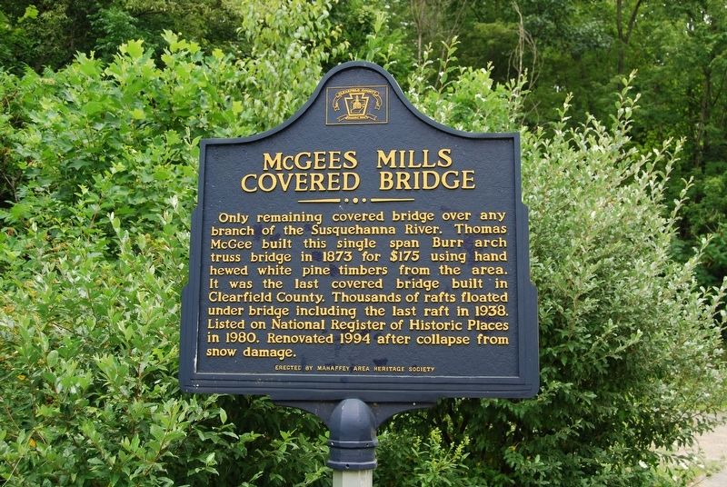
1. McGee's Mills Covered Bridge Marker
Only remaining covered bridge over any branch of the Susquehanna River. Thomas McGee built this single span Burr arch truss bridge in 1873 for $175 using hand hewed white pine timbers from the area. It was the last covered bridge built in Clearfield County. Thousands of rafts floated under bridge including the last raft in 1938. Listed on National Register of Historic Places in 1980. Renovated 1994 after collapse from snow damage.
Erected by Mahaffey Area Heritage Society.
Topics and series. This historical marker is listed in these topic lists: Bridges & Viaducts • Industry & Commerce • Waterways & Vessels. In addition, it is included in the Covered Bridges series list. A significant historical year for this entry is 1873.
Location. 40° 52.812′ N, 78° 45.933′ W. Marker is near Mahaffey, Pennsylvania, in Clearfield County. It is on Covered Bridge Road 0.1 miles south of Burnside McGee Highway (U.S. 219), on the right when traveling south. Touch for map. Marker is in this post office area: Mahaffey PA 15757, United States of America. Touch for directions.

Regionally, this marker is in the Pennsylvania Wilds.
this page online
Other nearby markers. At least 8 other markers are within 9 miles of this marker, measured as the crow flies: Last Raft (approx. 2 miles away); Rev. A.W. Tozer (approx. 2.4 miles away); Melvin L. Brown (approx. 2½ miles away); John Ludwig Snyder (approx. 4.8 miles away); George Atcheson (approx. 5 miles away); "Veteran's Park" (approx. 8.2 miles away); World War II Operation Silent Witness Memorial (approx. 8.2 miles away); Big Run Area Veterans Memorial (approx. 8.3 miles away). Touch for a list and map of all markers in Mahaffey.
Also see . . . McGees Mills Covered Bridge. Clearfield County website entry (Submitted on February 2, 2024, by Larry Gertner of New York, New York.)
Photographed by Mike Wintermantel, August 4, 2017
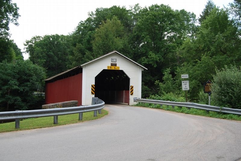
2. McGee's Mills Covered Bridge Marker
Photographed by Mike Wintermantel, August 4, 2017
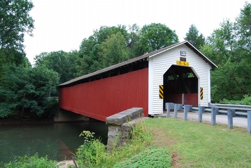
3. McGee's Mills Covered Bridge
Photographed by Mike Wintermantel, August 4, 2017
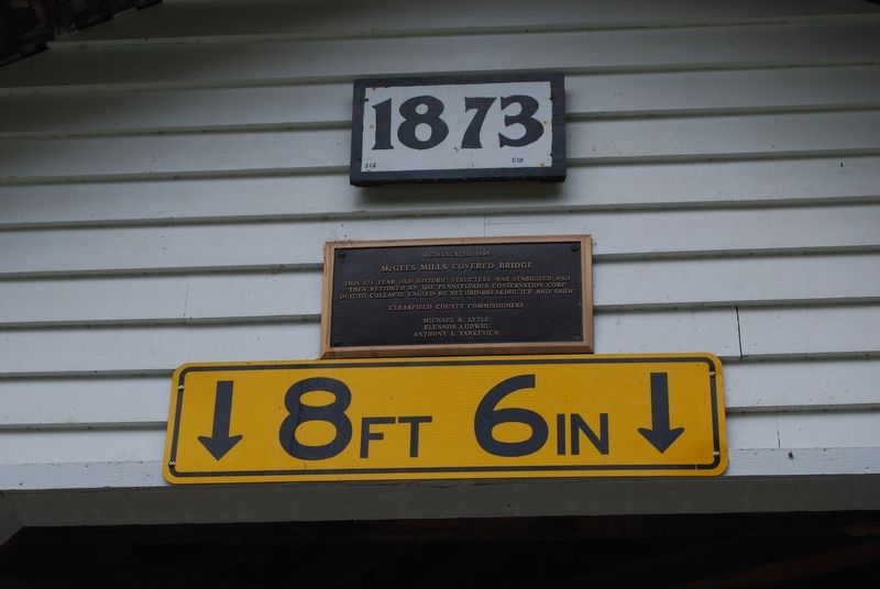
4. McGee's Mills Covered Bridge Plaque
McGees Mills Covered Bridge
This 121 year old historic structure was stabilized and then restored by the Pennsylvania Conservation Corp due to collapse caused by record-breaking ice and snow.
Clearfield County Commissioners
Michael R. Lytle
Eleanor Ludwig
Anthony J. Yankevich
Credits. This page was last revised on February 2, 2024. It was originally submitted on August 8, 2017, by Mike Wintermantel of Pittsburgh, Pennsylvania. This page has been viewed 1,002 times since then and 54 times this year. Photos: 1, 2, 3, 4. submitted on August 8, 2017, by Mike Wintermantel of Pittsburgh, Pennsylvania.
